Using Hovermap data in Deswik.AdvSurvey
Duration: 21 minutes
Description:
In July 2020, we partnered with Deswik to help mining companies incorporate the high-quality data captured with Hovermap into their mine plans and surveys.
Some are already seeing the benefits of this, including Evolution Mining, who are finding their stope reconciliation is now a much smoother process.
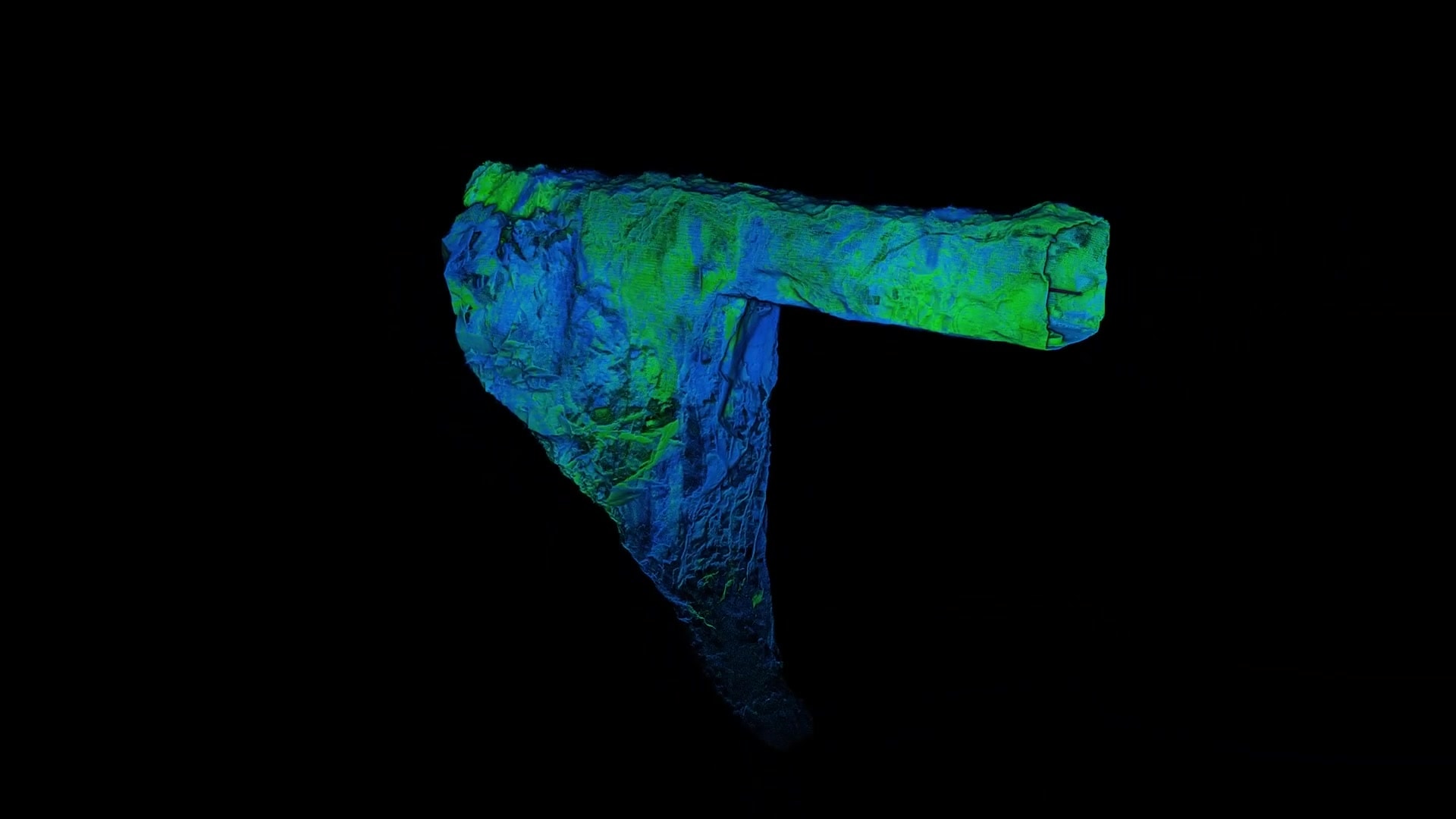
Evolution Mining’s survey team at Mungari Gold replaced CMS with Hovermap so they can easily scan stopes to improve stope design and reconciliation. They also use Deswik.AdvSurvey to process the data and inform their geological and mine models.
In this webinar:
- Matt Jones, AIMS 2020 Young Mine Surveyor of the Year, discusses how the Mungari survey team find Hovermap easy to use and how the resultant LiDAR data improves stope economics.
- Stephen Rowles, survey product manager at Deswik, discusses the workflow to import and georeference LiDAR data, create solids, characterize geological features and perform reconciliations.

