Spillway Structure Captured After 60 Years
Since construction, the overflow tunnel hadn’t been accessed or inspected until AMKVO arrived with Hovermap.
Norway’s mountains, steep valleys, and flowing rivers make it an ideal location for capturing the power of water by damming lakes, funneling water down a tunnel, turning a turbine’s blades, and producing electricity. Norwegians have understood the potential of hydroelectricity since 1891, when their first municipality-owned hydroelectric plant started production. During the industrial revolution, when other countries were using coal or oil, Norway was using hydroelectricity, and it is now their primary source of power.
With such an established power generation system, authorities face the challenge of aging and undocumented assets. Discovering the condition, or sometimes even the construction, of plant structures can be difficult and dangerous due to their enclosed nature and potential to fill with water.
When SKS, Northern Norway’s leading power producer, needed an understanding of one of their spillway tunnels, they called geodata and remote sensing company AMKVO.
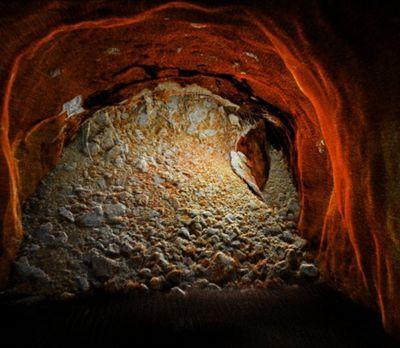
The tunnel was put into operation between 1960 and 1963 and is attached to one of the feeder dams. SKS was looking to capture the condition of this tunnel. However, the conditions were hazardous as the tunnel contained freezing water and a long vertical tunnel that was difficult to access.
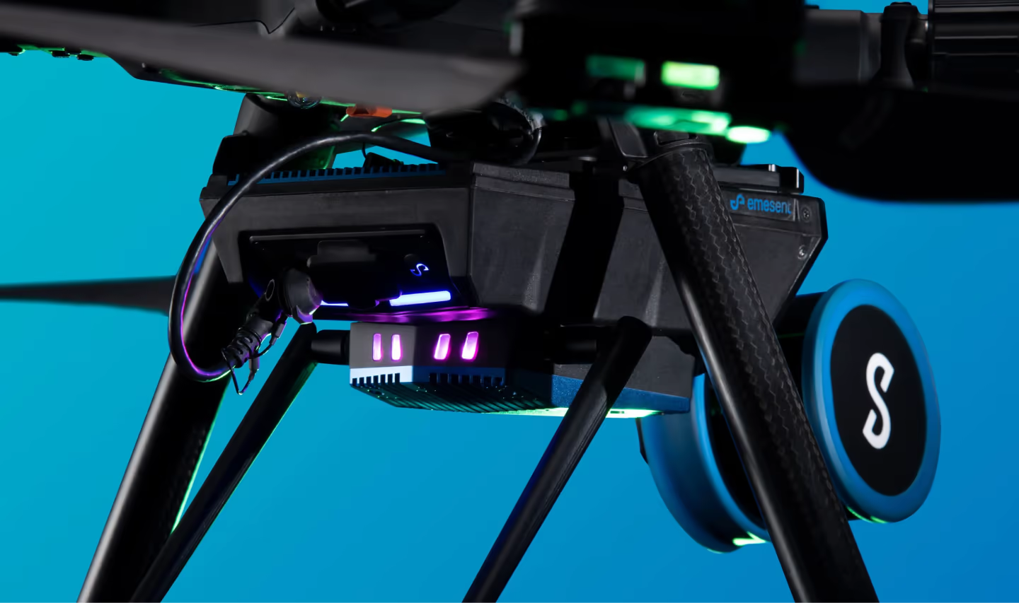
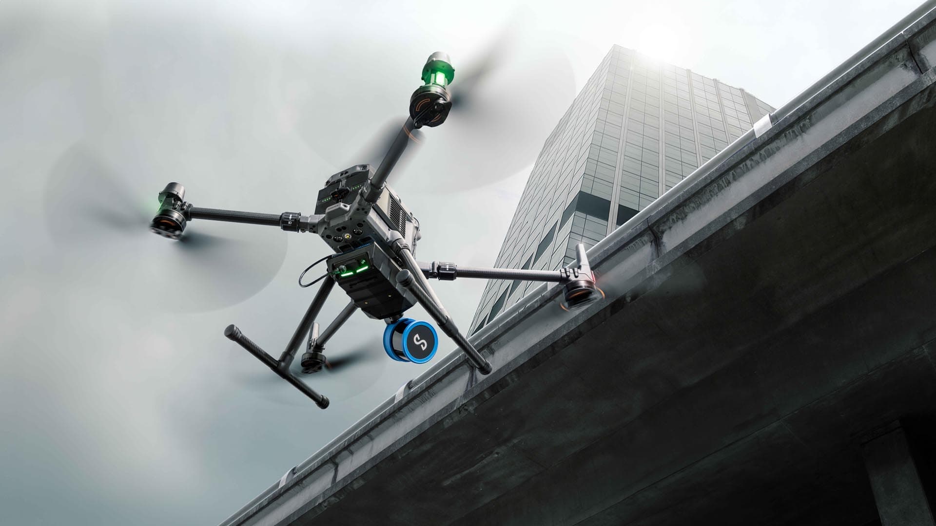
For this job, AMKVO chose Hovermap for its scanning versatility and beyond visual-line-of-sight capabilities.
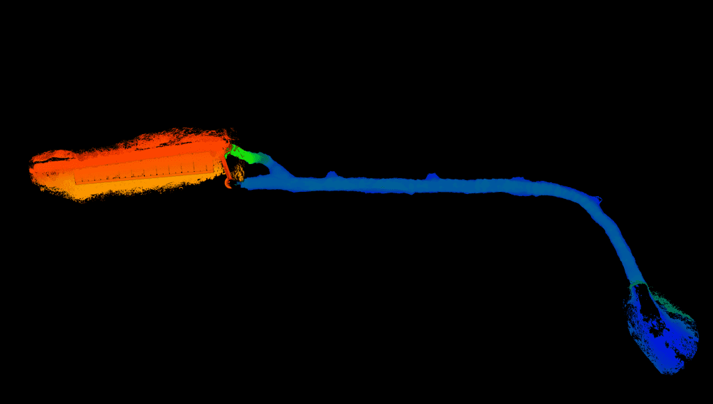
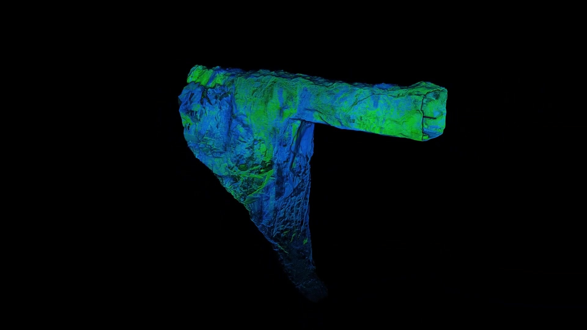
First, they captured the length of the overflow tunnel with a walking scan. Then the AMKVO team mounted Hovermap to a drone and, taking advantage of its autonomous capabilities, flew it up the vertical tunnel and through the spillway. In doing so, they captured a detailed point cloud of a structure that hadn’t been surveyed in 60 years. Again, AMKVO has solved another complex data capture problem by focusing on innovative technology and finding new ways to use it.
After AMKVO processed the point cloud, the power station uploaded it to their online 3D viewer, which could be be shared within the company and used to review the condition of the tunnel and spillway. This point cloud could also provide a baseline for identifying any movement when compared to future scans and an as-built model for their records.
