Webinar: Expand Your Data Capture Reach
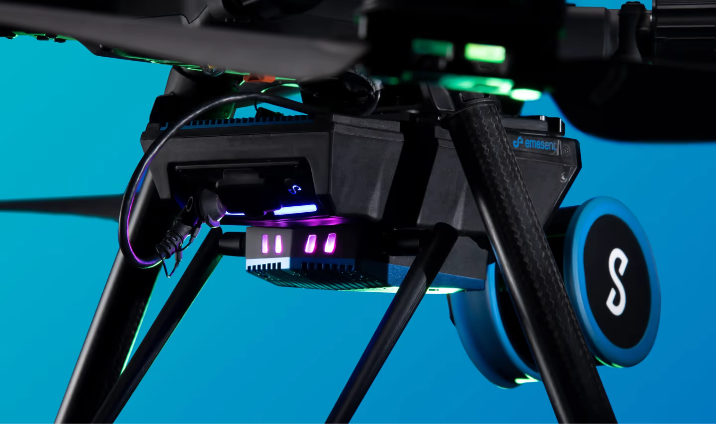
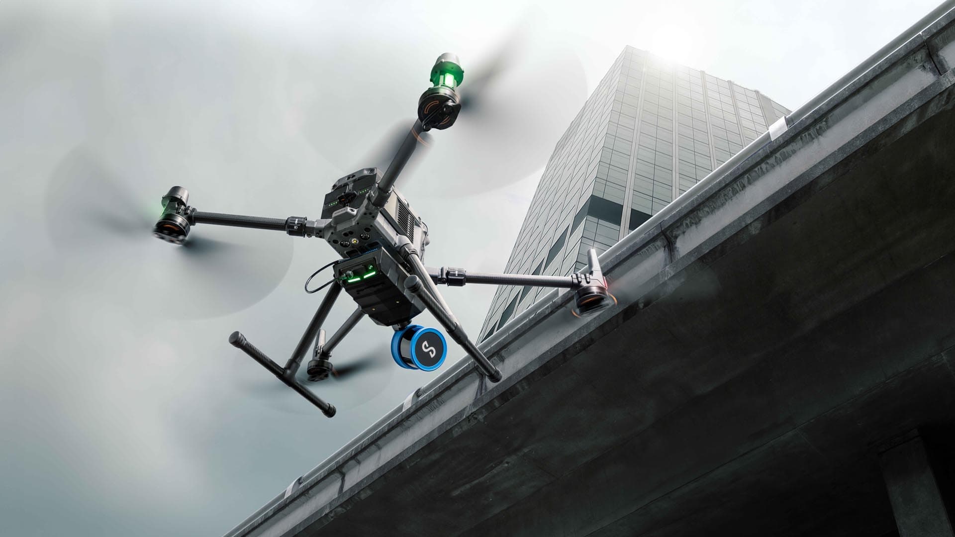
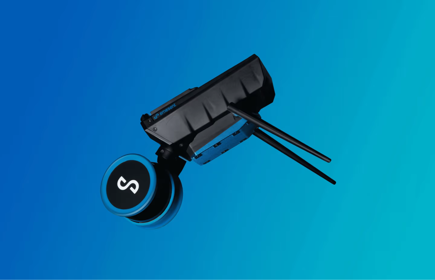
Watch this webinar to hear from Emesent’s Senior Product Manager, Mark Gordan, and Emesent Technical Sales Consultant, Ross Richter, as they share how the new Hovermap ST-X and Long Range Radio add-on increase the communication range up to 20 times further.
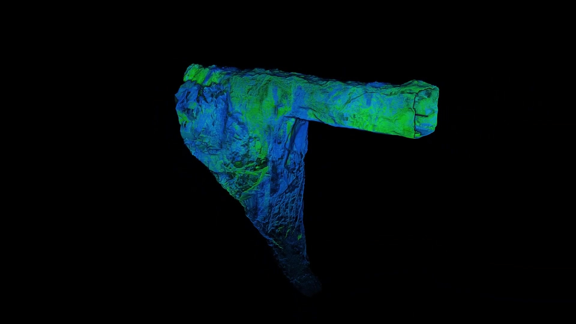
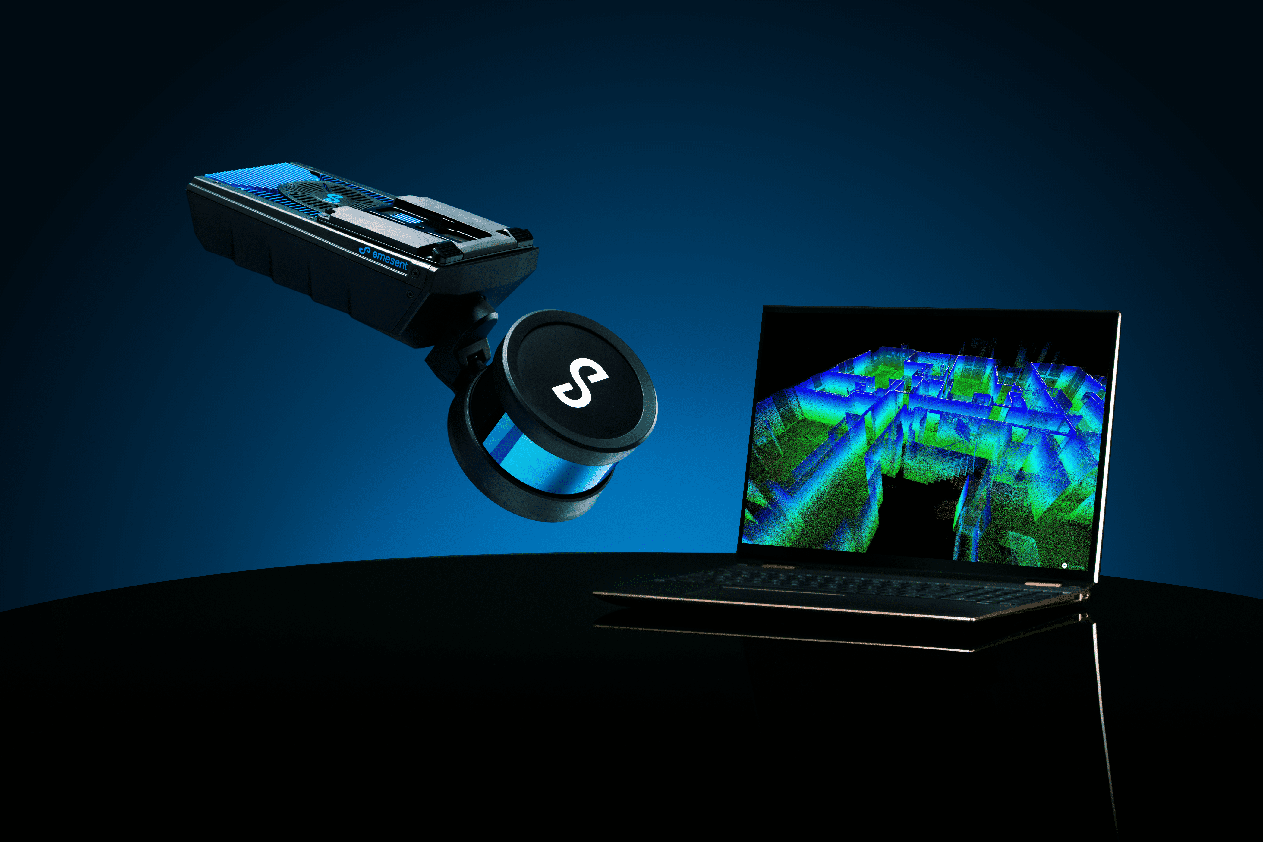
Hovermap ST-X captures detailed, accurate data over a greater area in less time, making it perfect for construction sites or stockpiles. Hovermap ST-X’s high density point clouds provide increased coverage and improved accuracy.
Emesent’s Long Range Radio accessory allows the fast-tracking of inspections and surveying with continuous real-time data and guided exploration while scanning over longer distances.
Together they extend the reach of autonomous LiDAR scanning while capturing denser, more accurate point clouds for better insights.
- You can expand your data capture reach
- You can prioritize speed of processing or density of data in the one device
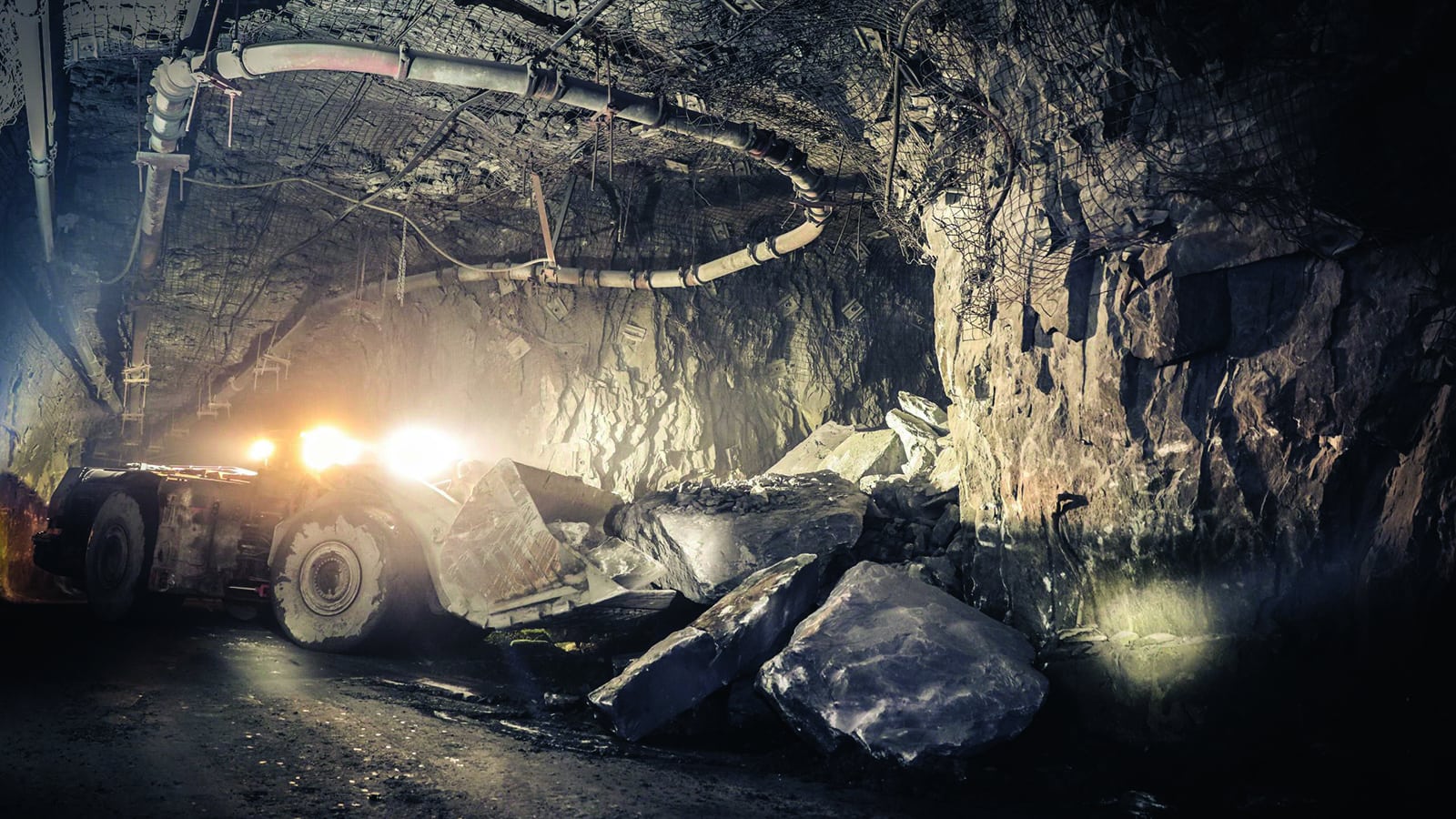
- To get better visualization underground
- To get better range from a LiDAR scanner

SPEAKERS

Mark Gordon
Senior Product Manager, Emesent
Mark has a background in capturing and monitoring data in mining environments and, since joining the Emesent team, has provided product management for the Hovermap ST-X during its development.

Ross Richter
Technical Sales Consultant, Emesent
With over eight years experience in airborne data capture, Ross has extensive knowledge of both flight requirements and LiDAR data capture workflows in a range of industries. Ross also has a background in geosciences and underground data capture.

