Case Study Category: Case Studies

11 December 2023
Leveraging 3D Data for Decision-Making in Public Safety
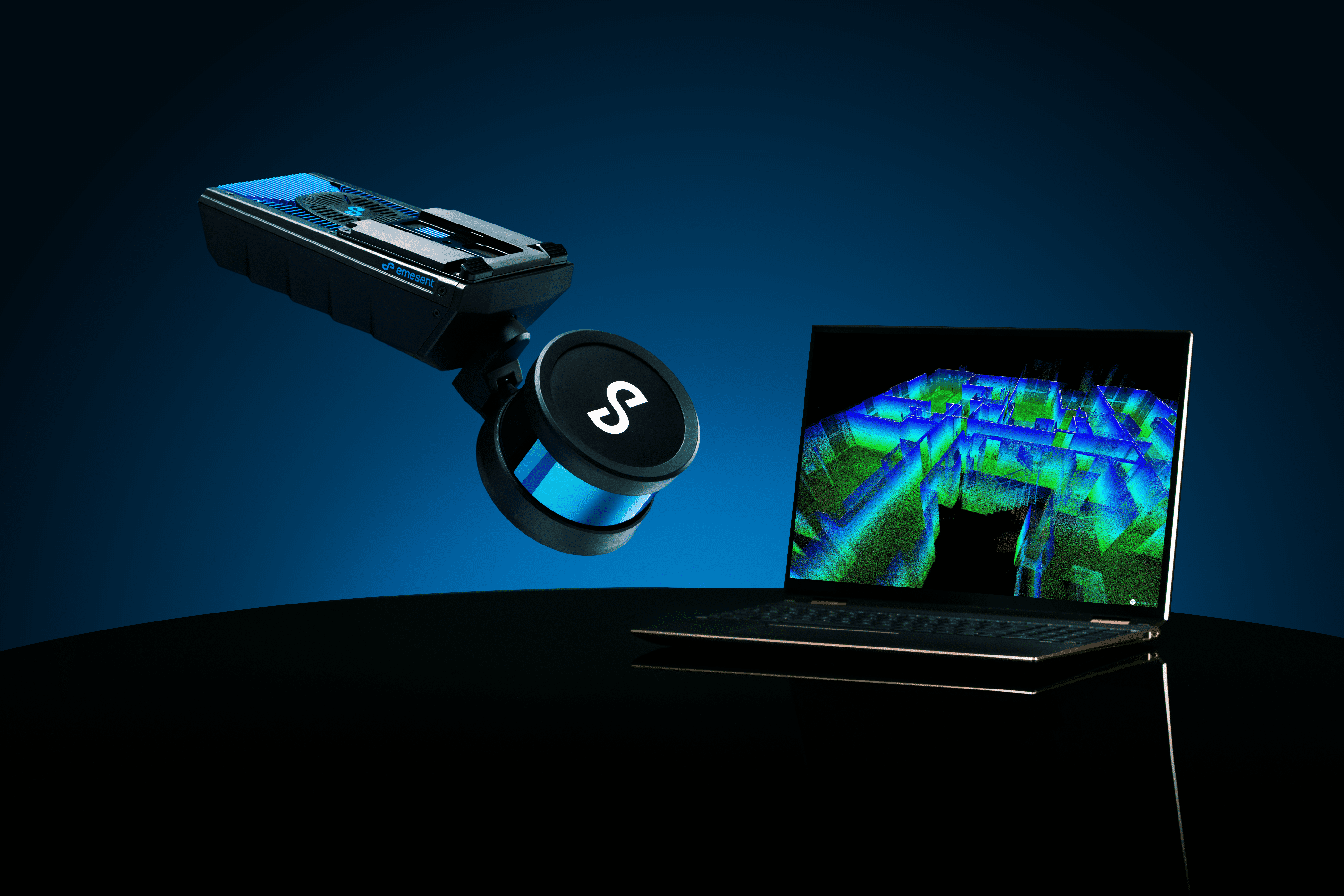
Find out how Emesent Hovermap’s 3D capture and visualization capabilities help first responders plan and prepare for their next big incident response in this ebook.

11 December 2023
Leveraging 3D Data for Decision-Making in Public Safety
Find out how Emesent Hovermap’s 3D capture and visualization capabilities help first responders plan and prepare for their next big incident response in this ebook.
16 February 2023
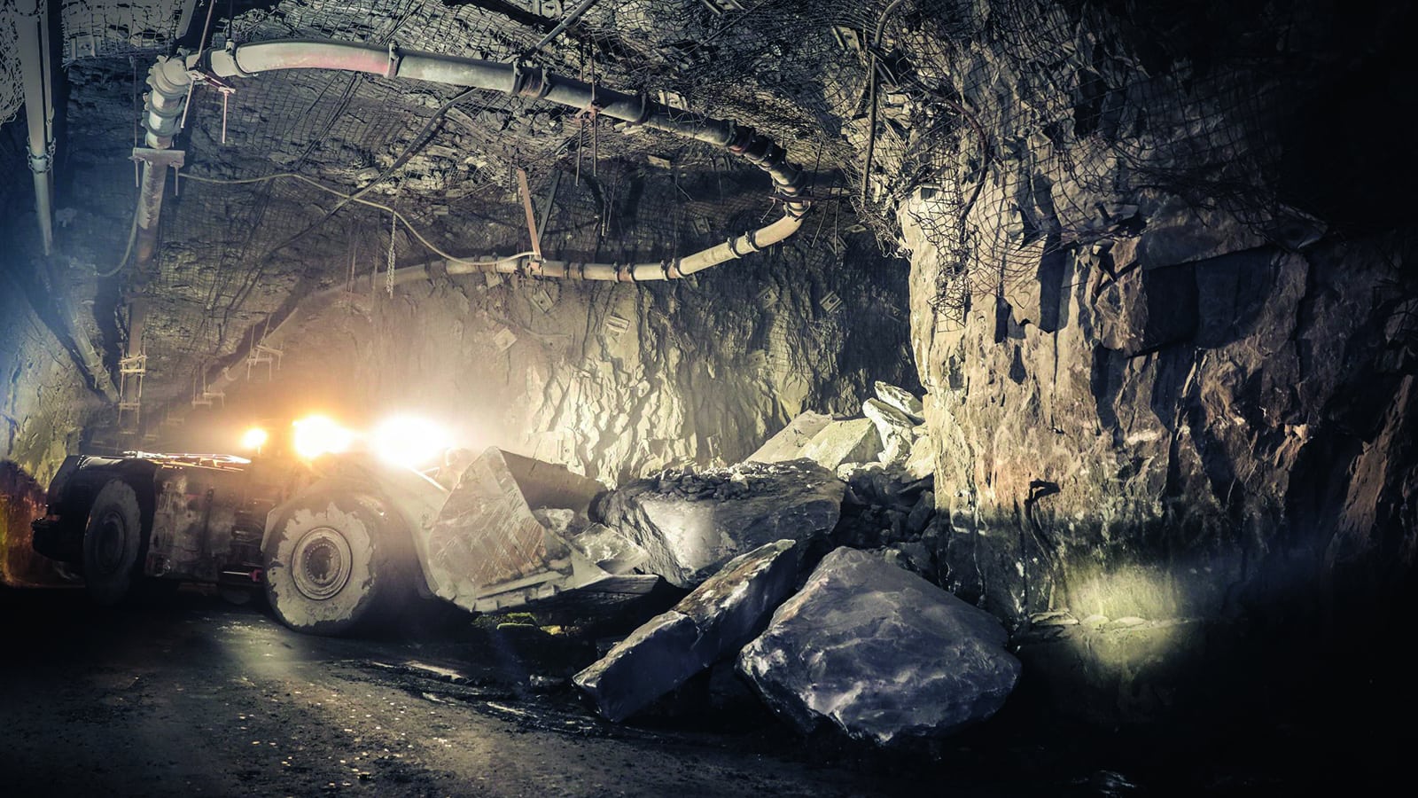
Barrick Bulyanhulu and Kibali: Stope Scanning
Shadowing in CMS scans was a perennial challenge at Barrick’s Bulyanhulu and Kibali sites. Surveyors were unable to obtain accurate and complete production data using the traditional pole-mounted CMS scanning method, particularly in larger, more inaccessible stopes. Missing data affected the calculation of mine material volumes for end-of-month reconciliation.
27 June 2022
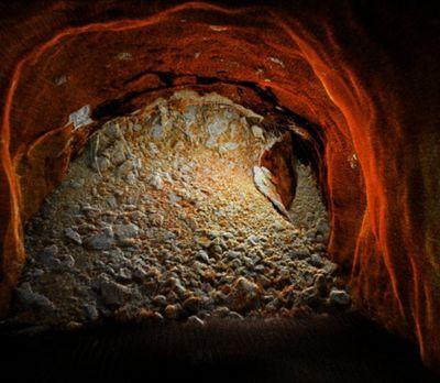
Pinpointing a Blockage in an Inaccessible Hydro Station Tunnel
When a station in Hyltebruk in southwest Sweden was alerted to a surface level sinkhole above a water tunnel, they needed to locate and investigate the rockfall and probable deterioration of the tunnel’s concrete lining.
27 May 2022
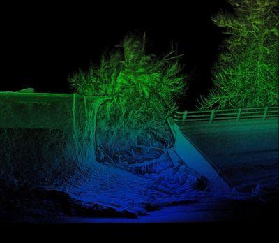
Osprey Integrity Speeds up Natural Disaster Recovery with Fast, Accurate Data Capture
After a natural disaster, repairing critical infrastructure can take years, making it difficult to return to life as usual.

4 May 2022
Simplifying Detailed Data Capture to Create a Digital Twin of a Complex Onshore Compressor Station
Digitally capturing 3D point cloud data for oil and gas assets presents unique challenges and opportunities.

4 May 2022
Maintaining Safe Operations at Northparkes Block Cave Mine
CMOC’s Northparkes mine is Australia’s first block cave mine and one of Australia’s largest copper producers, providing 26,997 tonnes of copper in 2020.

6 April 2022
GeoZICHT Achieves Entire Traffic Bridge Inspection
GeoZICHT sought a tool to enhance the collection of complete visual inspection data for bridge inspections while also increasing the overall safety of the underlying process.

9 February 2022
Glencore’s Mount Isa Mines Improves Safety and Productivity in Underground Survey
The Emesent Hovermap helps Mount Isa Mines maintain safety and mining efficiency through rapid scanning of underground areas.

11 January 2022
Brierley Associates Speeds up road tunnel inspection
Brierley Associates sought a solution to tunnel inspection that would reduce the disruption to traffic while keeping the inspection team safe.

22 December 2021
UDM Group Improves Efficiency and Safety for Topographic Surveys
Hovermap helps UDM Group reduce time-on-site for a bridge survey and flood study.

