PRODUCT FEATURES
HOVERMAP HARDWARE FEATURES
Versatile Hardware
Scan locations without GPS by walking, driving or flying with the same hardware.
No GPS Required
Map any environment quickly and safely with Hovermap’s SLAM localization.
IP65 Rating
IP65 rated unit is protected against dust and low-pressure jets of water from all directions, making it ideal for use in harsh
environments.
Obstacle Proximity Map*
Use the proximity map to avoid obstacles and navigate the drone safely from a distance.
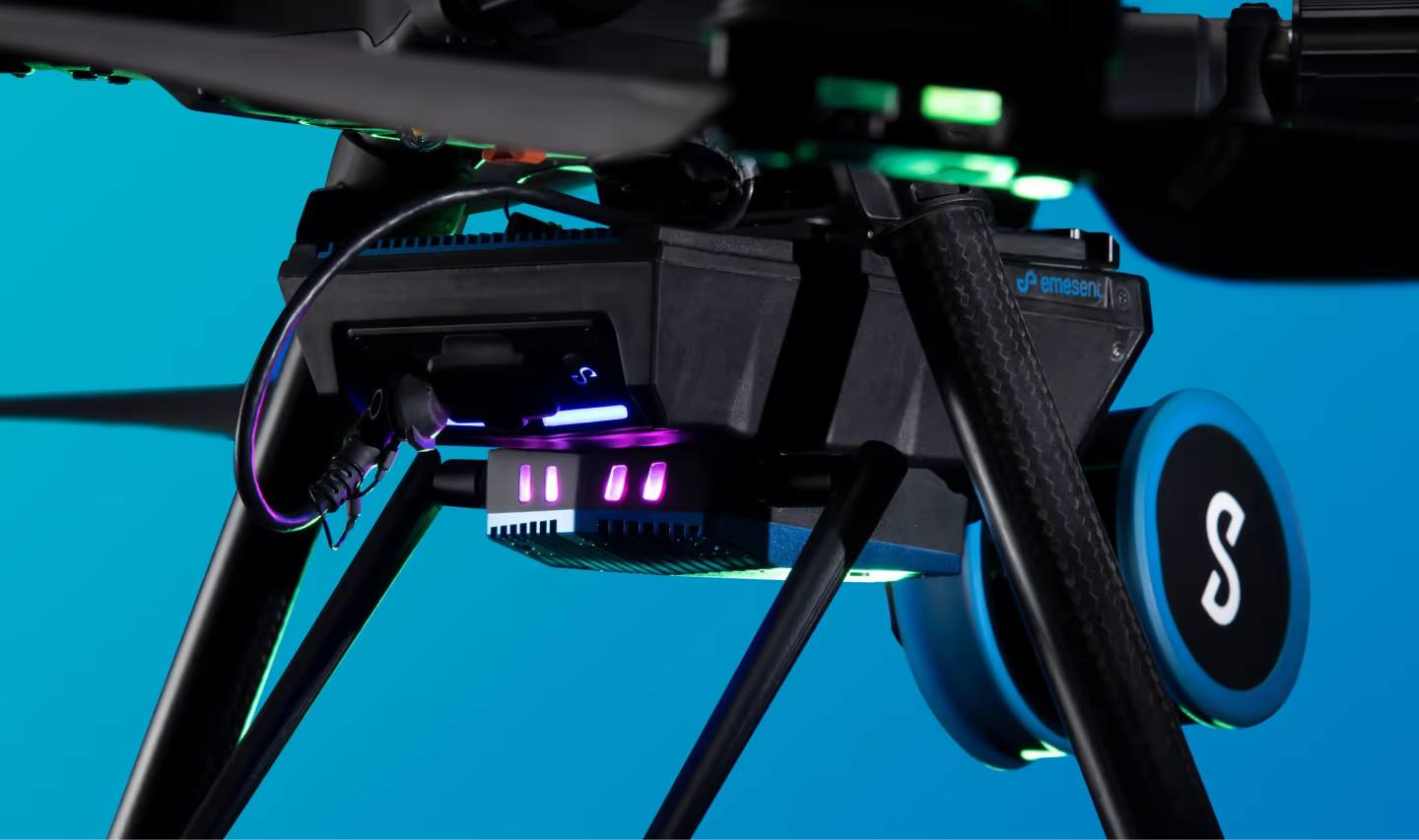
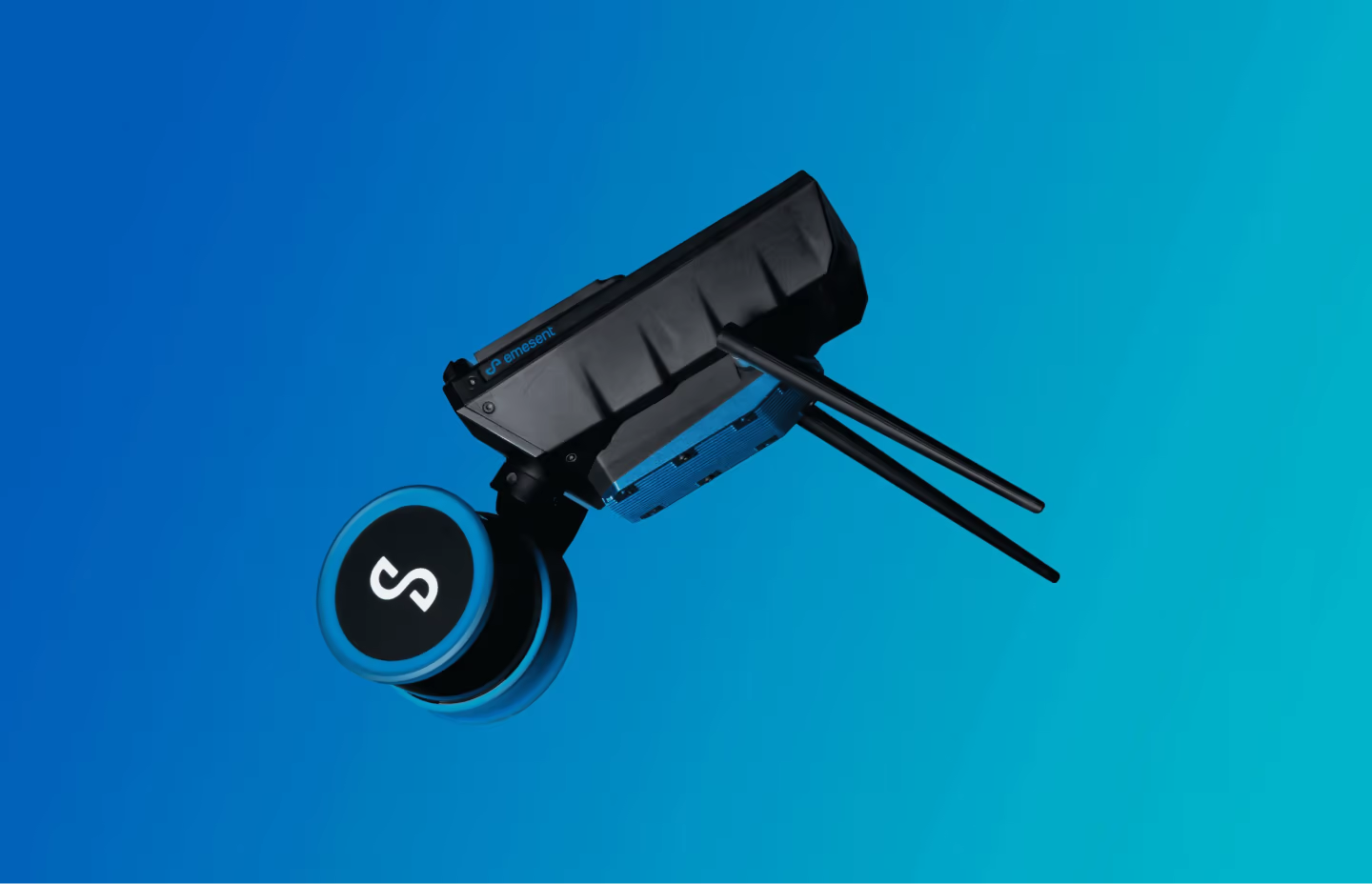
Accessory Port
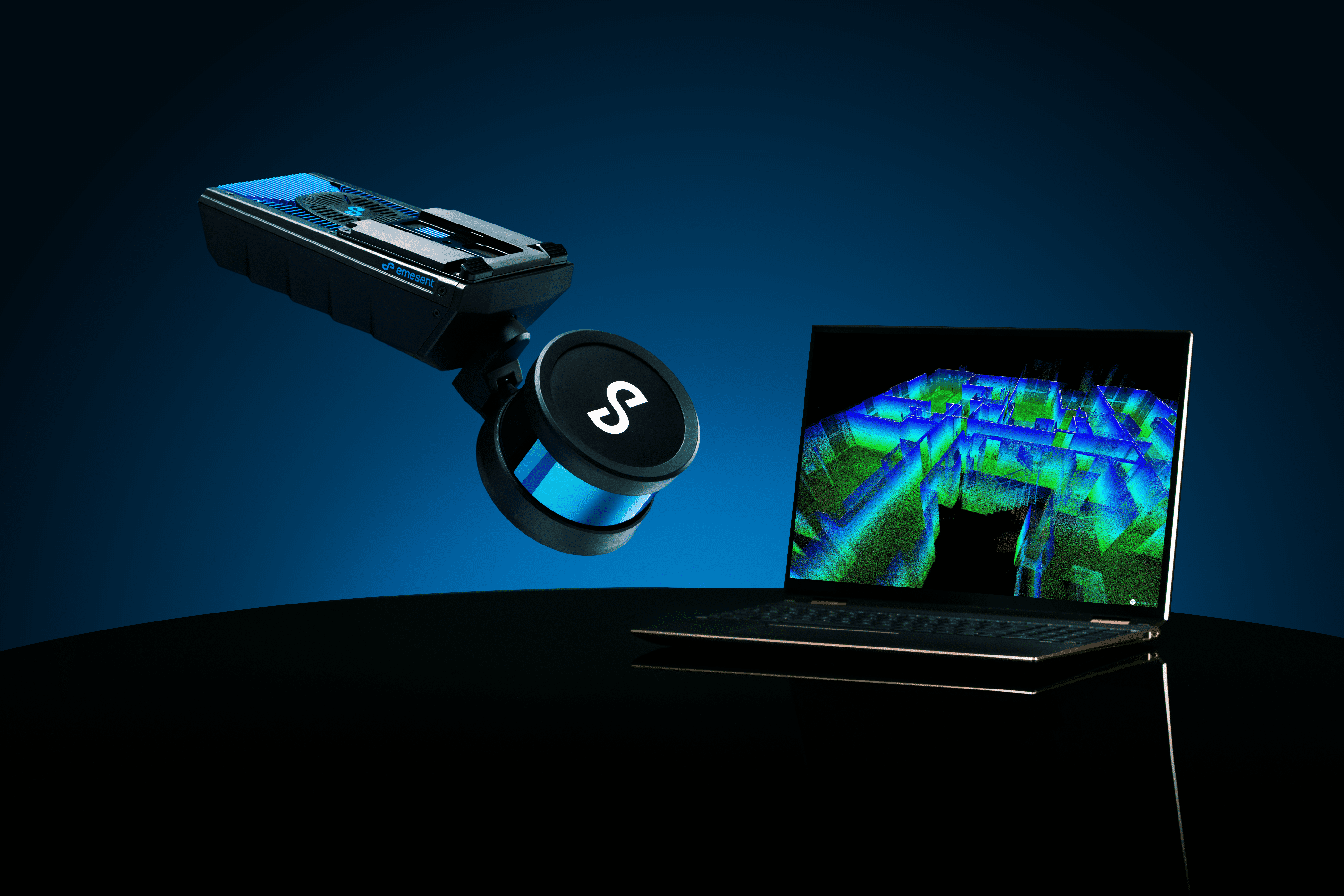
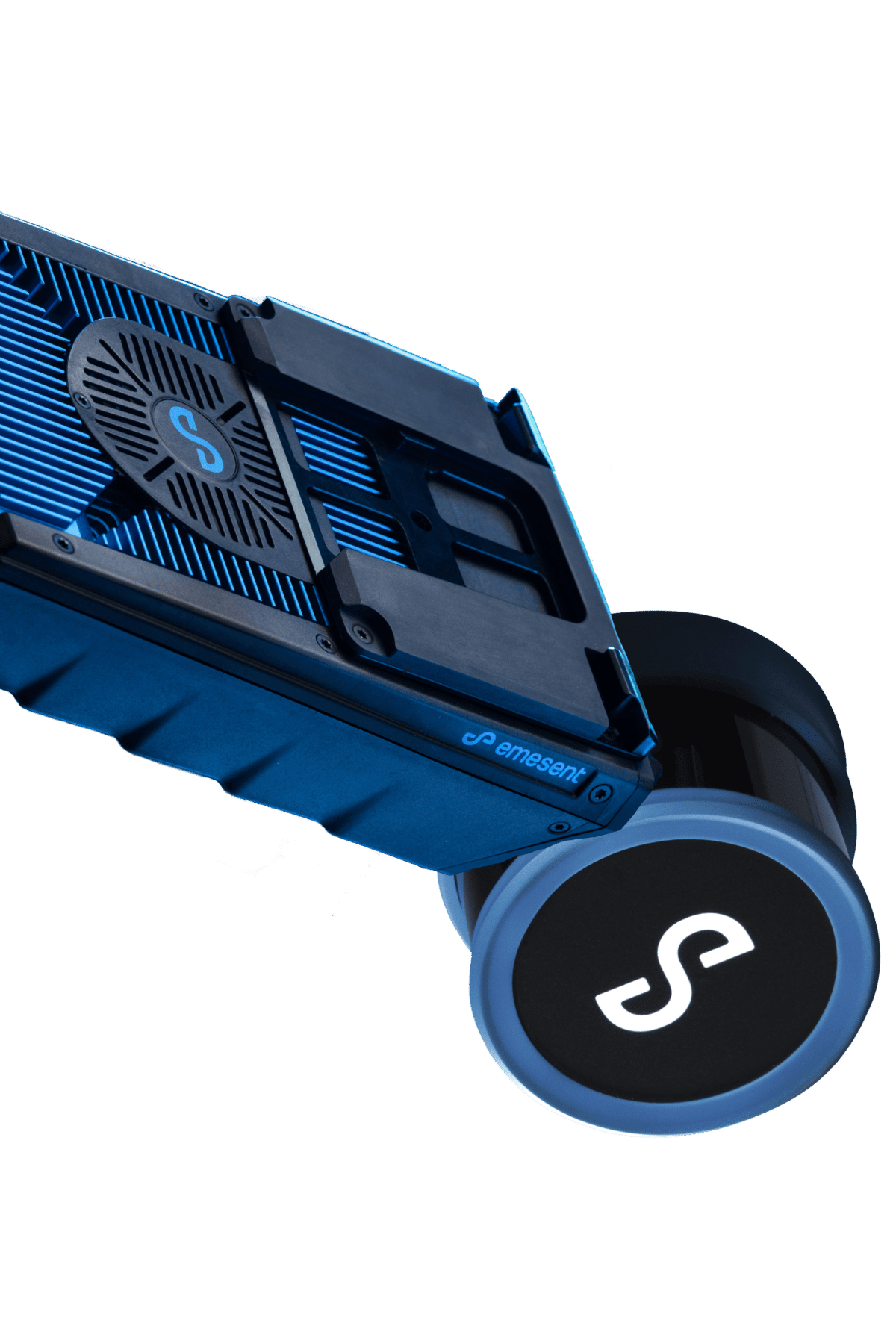
An accessory port and mount points expand Hovermap ST’s capability with accessories such as a long-range radio.
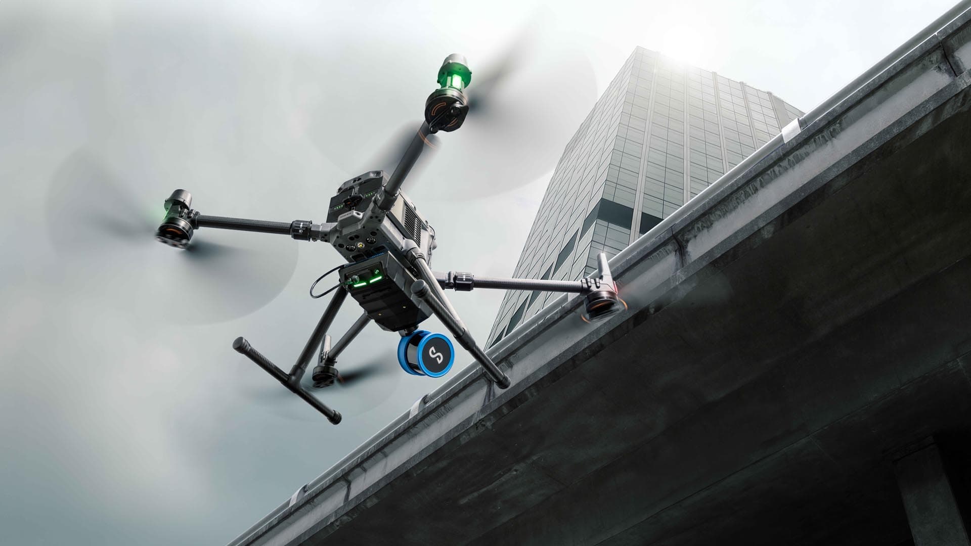
Drone Mountable*
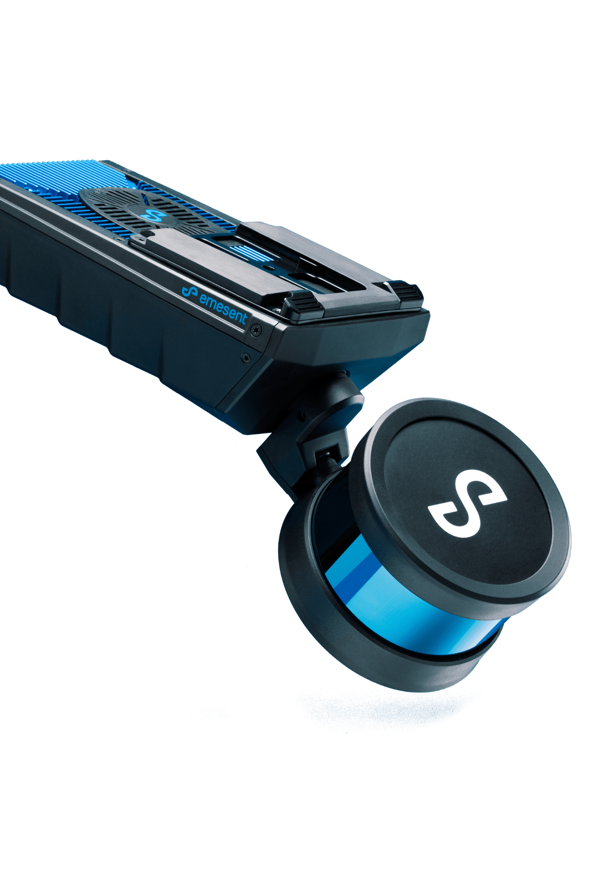
Attach the Hovermap payload to a compatible drone to use it as an all-in-one 3D mapping device.
Smart Battery Return-to-Home
Maximize flight time and return the drone to base safely using Hovermap’s battery monitoring and shortest route home features.
Magnetic Interference Tolerance
Maintain flight stability in areas of magnetic interference.
Barometric pressure
Fly safely in tight spaces where air pressure fluctuates using the Hovermap SLAM altitude control feature.
HOVERMAP DATA CAPTURE
GPS Denied Flight*
Allows drones to fly autonomously in GPS-denied environments, enabling a host of new applications such as flying and
mapping in underground mines, inside warehouses or inspecting underneath bridges.
Omnidirectional Collision Avoidance
Create a virtual safety shield around the drone and avoid the smallest of obstacles.
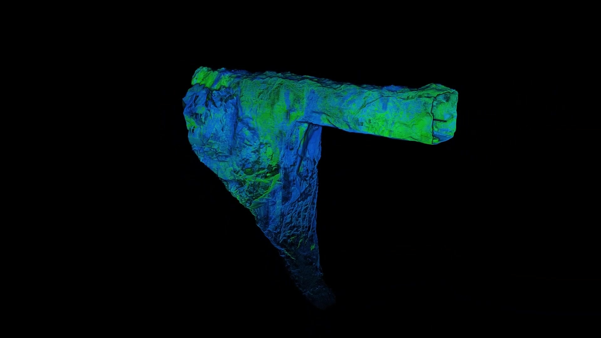
Real-Time Point Cloud Streaming
View the 3D point cloud of your mapped environment in real time.
Smart Waypoints
Let the drone self-navigate to pre-set waypoints and monitor its progress via a live-streamed 3D map.
Beyond Line-Of Sight Flight (BLOS)
Capture complex assets with a BVLOS Hovermap flight in GPS-denied environments.
Guided Exploration and Intelligent Path Planning
Hovermap’s autonomous path planning algorithms guide the drone through its flight mission.
Tap-To-Fly Operation
Fly an entire mission, from take-off to landing, with Hovermap’s easy to use interface.
Communication Loss Return-To-Home
Minimize the risk from communications loss between the drone and Hovermap.
Live Stream Onboard Drone Camera*
View a live stream of the mission with an integrated drone camera and Emesent software.
Operate Beyond Communication Range
Hovermap finds a safe route to a waypoint (continue beyond Wifi and radio communication ranges) before returning to home.
Extend your connectivity range up to 20 times*
Long range radio enables users to live stream Hovermap point cloud data and control Hovermap from up to 20 times further.
Observer Mode*
View the mission and point cloud in real-time from a second Android device.
*Requires additional hardware to enable features

