Underground mines see savings on equipment and consultancy services with Hovermap’s versatility providing multiple applications.
Rio Tinto engaged MineLiDAR to trial Hovermap for convergence monitoring at its Argyle Diamond Mine, in Western Australia. The trial showed LiDAR accuracy is sufficient for displacement monitoring and provides superior areal coverage of target areas.
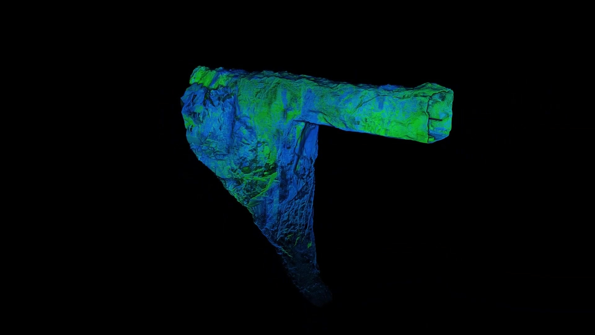
In November 2020, Emesent partner Dwyka Mining Services was contracted to assess the geometry and volume of a cavity that was exposed in a client’s open pit, following surface blasting.
How Emesent Hovermap technology helped Evolution Mining improve its stope design and reconciliation process at Mungari gold mine
Petra Diamonds save millions in remediation costs at its Finsch Mine.
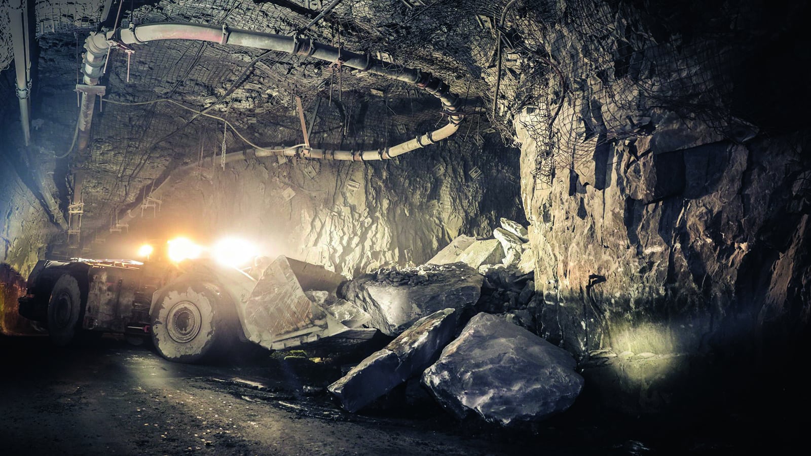
Emesent Hovermap technology helps LKAB complete fall of ground inspections quickly and safely at Kiruna mine.
Emesent Hovermap technology helps Pertamina safely survey a bulk oil storage tank at the Balongan refinery.
Vertical infrastructure, orepasses, shafts, and raises, can be difficult, dangerous, and costly to scan.
Accuracy Evaluation: Georeferencing Hovermap Point Clouds using ‘Best Fit’ Sphere Registration in CloudCompare

