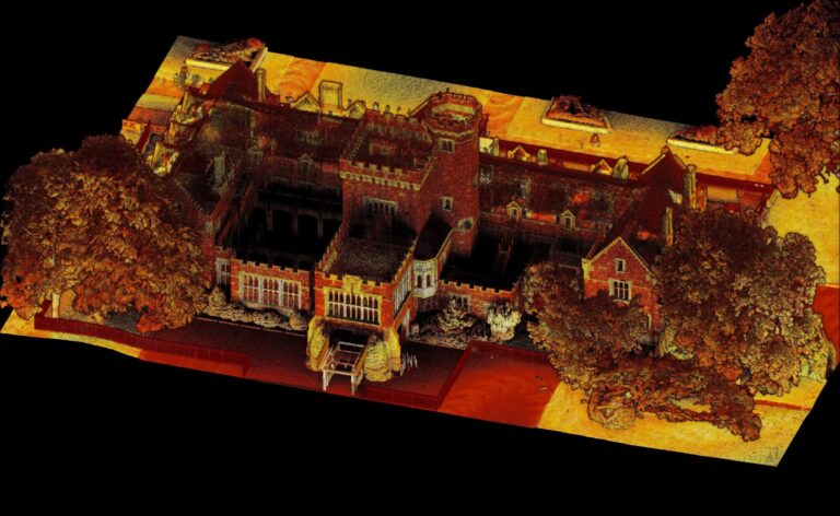
Fast and Accurate Topographical Surveys
Duration: 30 minutes
Hear from LSTC Group, surveying experts, about how they are collecting, checking and drawing topographical surveys for building sites, cable routes, and volumetrics.
Join this webinar to see:
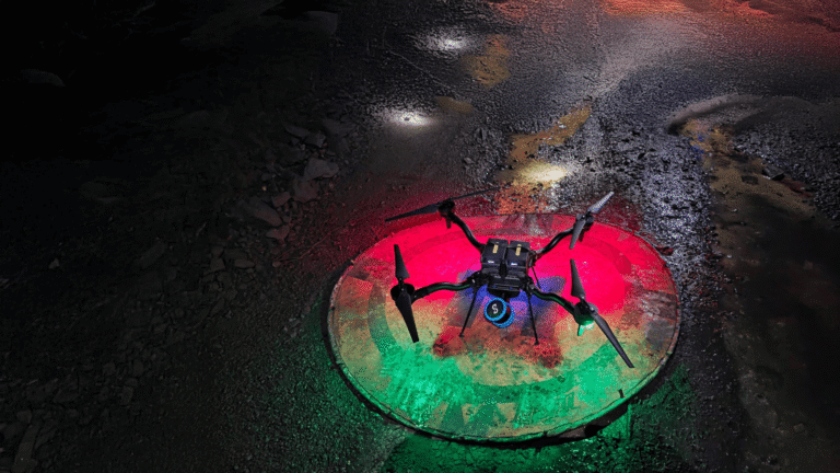
- The jobs where LiDAR scanning brings time savings,
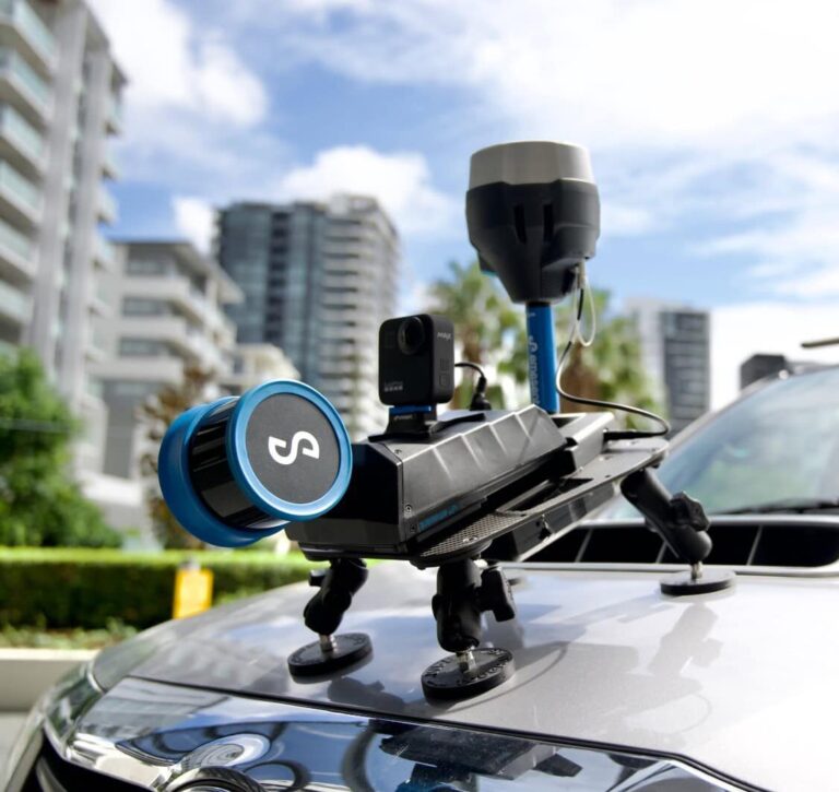
- How GCP is enabling the collection of more accurate data,
- The resulting scans and end result, digital format of the output.
SPEAKER

Daniel Bell
Senior CAD Draughtsman
LSTC Group
Daniel Bell is a Senior CAD Draughtsman for LSTC Group, with over seven years experience in capturing and drawing topographical surveys. With a working knowledge of laser scanning and traditional surveying, and expertise in Autodesk products (AutoCAD, Civil 3D & Revit), Daniel has a complete understanding of surveying from data capture to final output.
LSTC Group is a firm of Consulting Engineers and Land Surveyors providing a wide range of services and expertise, predominantly to the Overhead Line Transmission Sector, holding numerous framework agreements with some of the UK’s largest DNO’s.
Related Resources