-
Vehicle RTK
-
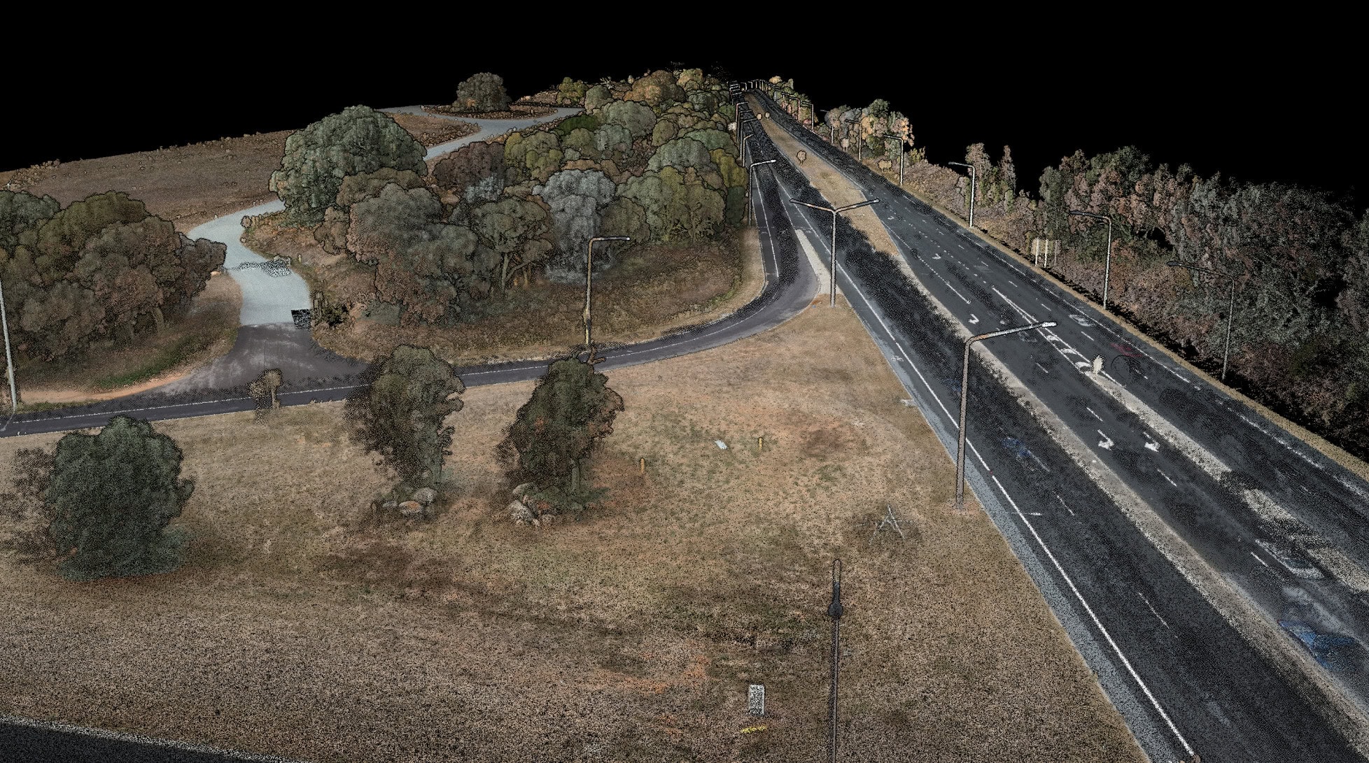
Rapid, vehicle-based scanning without GCPs
Drone scan not suitable? Need to scan an area too large to walk? Emesent Vehicle RTK delivers confident scanning over large areas and of long, linear assets without the need for GCPs. Simply attach the Hovermap Vehicle Mount with RTK to your vehicle, establish a connection and you are ready to start scanning. Automated georeferencing and drift correction intelligently leverages both RTK and SLAM to optimize results and ensure the most reliable, robust point cloud, while eliminating labor-intensive and error prone processes.
Combine with the 360 colorization kit for Hovermap to add a new level of reality and extract 360 degree images for additional context.
Benefit from:
-
Speed and accuracy
Fast, accurate, repeatable scanning for larger project areas or where drone use is not suitable.
-
Robustness
Improved SLAM robustness, enabling scanning of large areas and long, linear assets that have previously been challenging for SLAM-based LiDAR mapping systems.
-
Faster time to insight
Automated georeferencing and drift correction, reducing the need for ground control targets and accelerating time to insight. Simplified merging of multiple datasets accelerates workflows.
-
Optimized results
Seamlessly leveraging the optimal combination between RTK and SLAM to ensure the most reliable and robust point cloud.
-
Repeatability
Ease of repeatability from consistent geolocation.
-
Global georeferencing accuracy
Tested and verified by an independent surveyor against 75 quality control points.
Where to use Vehicle RTK
What’s in the kit?
Compatible with
Also available
Emesent Products
-
-
Testimonial
“The combination of the Hovermap’s RTK capability and Trimble’s best-in-class GNSS receivers makes georeferencing effortless for our clients.”
Davide Agrati3D Image & LS Product ManagerSPEKTRA Srl
-
Further Reading
-
Want to learn more?


