Enhance planning, co-ordination and execution
-
Transform your workflows and processes with Emesent Hovermap.
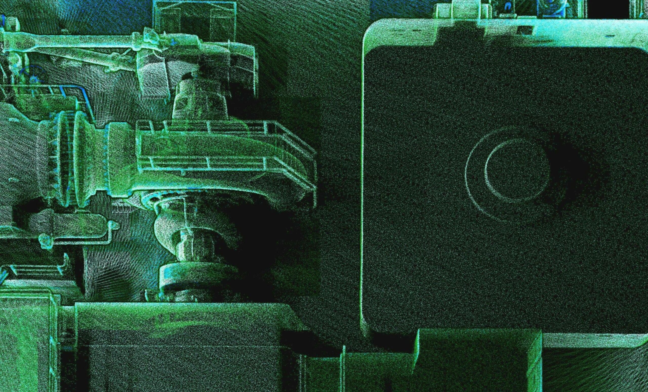
From capital projects to maintenance to turnarounds, Emesent Hovermap delivers fast, accurate and versatile 3D reality capture that transforms digital workflows and enhances project and inspection outcomes. By simplifying the detailed data capture of dispersed and complex assets, Hovermap enhances visibility, improves decision making and reduces risk.
Extremely versatile, the single device can be deployed in multiple ways to deliver a rapid and comprehensive digital representation of an asset, facility or project that can easily be exported into 3D modelling tools to deliver new insights.
-
Use Hovermap for
-
Improved planning
Fast, detailed and accurate 3D data capture for virtual planning, staging and analysis.
-
Risk mitigation
Accurately model scenarios and plan contingencies prior to execution.
-
Enhanced communication
Easily visualize and share plans across multi-disciplinary teams.
-
Enhanced safety
Create simulations and visualize potential hazards to educate stakeholders and manage risk.
-
More effective maintenance
Use reality capture to build an up-to-date 3D model of the facility for ongoing maintenance and improvement.
-
Faster insights
Rapid, comprehensive data capture that seamlessly integrates into 3D modelling tools to uncover new insights.
-
-
Capture and visualize survey data for varied use cases
-
Explore real-life Hovermap applications
-
Testimonial
“The results that have been obtained with this drone technology actually exceeded our previous expectations.
These types of drone operations will really support preventative maintenance operations, helping us locate specific defects, provide the correct type of maintenance and ultimately achieve significant increases in speed and accuracy.”
Almuayat LibrataOil and Gas Transportation ManagerPertamina EP
-
Why use Hovermap?
-

Unique versatility
The plug-and-play design and quick-release mechanism allow easy switching between modes, making Hovermap ideal for capturing every detail of complex assets. Deploy Hovermap as a handheld scanner; attached to a drone, vehicle, or pole; lowered in a cage; or mounted to a backpack. The compact, lightweight design makes it easy to carry and provides longer flight time.

-

Sub-centimetre accuracy
When rough estimates or manual measurements aren’t enough, Hovermap delivers with unmatched accuracy to address over 90% of all engineering requirements.

-

Not reliant on GPS
World-leading SLAM (simultaneous localization and mapping) techniques, with Emesent’s advanced algorithms, extend Hovermap’s capabilities to provide autonomous data capture using a drone or other robotic platform, enabling users to maintain safe distances, situational awareness and accurate mapping even when GPS is not available.

-

Easy to train, use and deploy
Hovermap’s automated data capture, streamlined workflows and plug and play design allow users to start scanning at the touch of a button.

-

Effective data capture in zero light environments
Hovermap can operate in complete darkness, devoid of any ambient light without impacting the quality of the scan.

-

Adaptable, contextual data capture
Colorize, animate, overlay information or add annotations to present a comprehensive visual picture to teams on the ground and remote stakeholders. Gain exact measurements to aid assessment, such as distances and widths, as well as volumetrics.

-

Analyze data in multiple ways
Hovermap’s filters enable data to be analyzed in multiple ways including by time, intensity and height to uncover additional insights. Areas with different reflectivity can be highlighted, such as areas of contamination from an oil or chemical spill, that otherwise may not be clearly visible.

-


