Ready to see how Emesent products work?
Get in touch
Ready to see how Emesent products work?
Get in touch
Featured Offers
 Explore

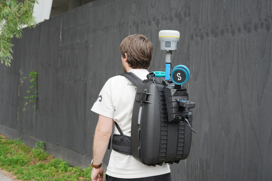
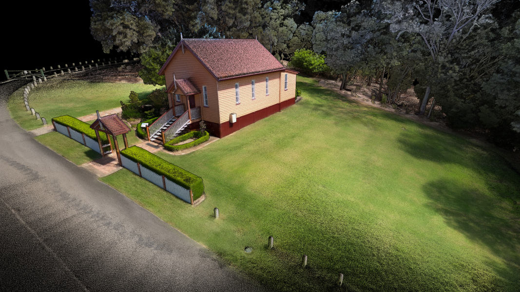
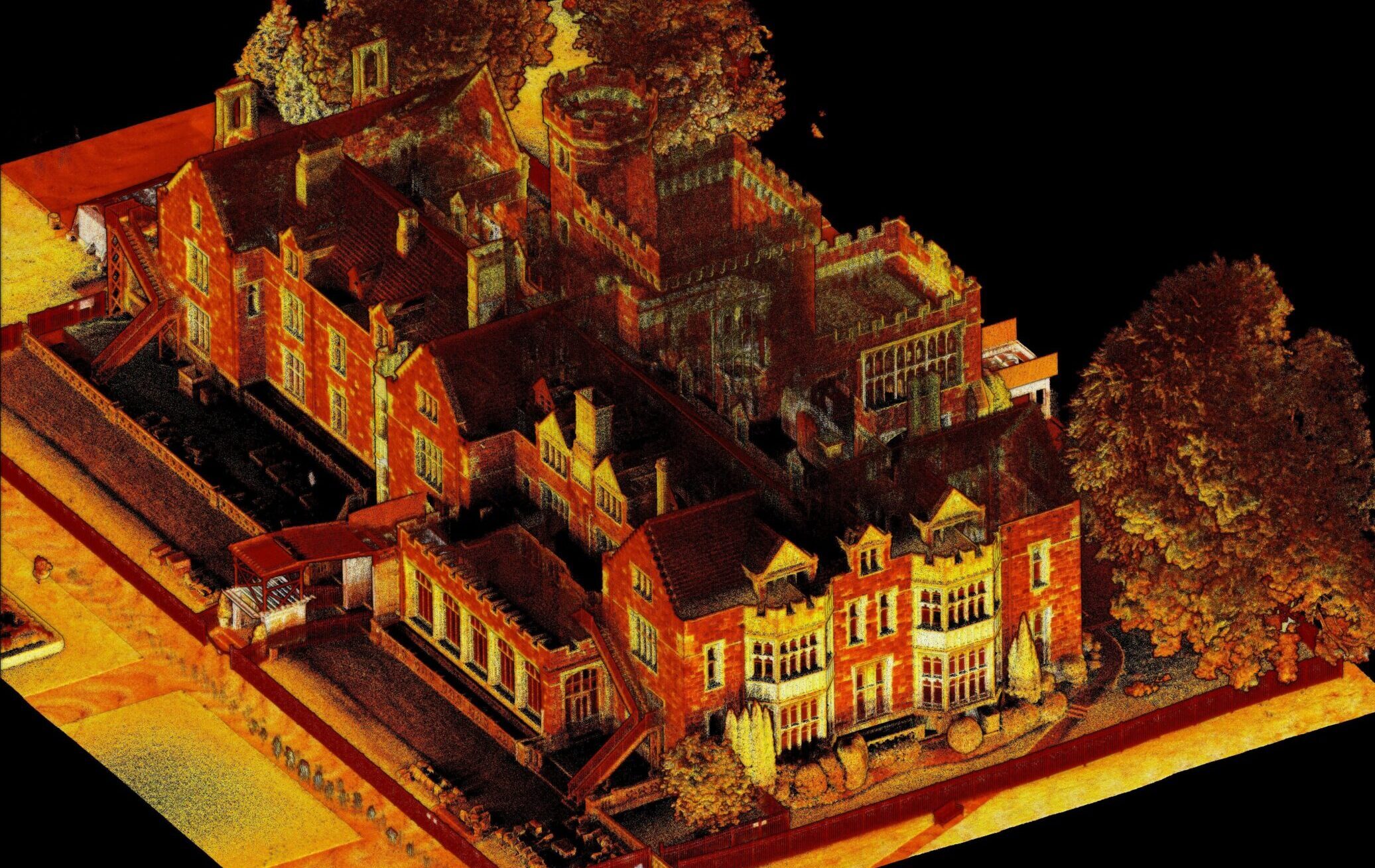
Emesent GX1 is an all-in-one SLAM, RTK, 360° pano, LiDAR scanner.
Take advantage of our special launch offers — available for a limited time only.
Take advantage of our special launch offers — available for a limited time only.
Ready to see how Emesent products work?
Get in touch
Featured Offers
Explore
Emesent GX1 is an all-in-one SLAM, RTK, 360° pano, LiDAR scanner.
Take advantage of our special launch offers — available for a limited time only.
Take advantage of our special launch offers — available for a limited time only.