Product

Automated Ground Control for Hovermap

    Automated georeferencing

    Using machine learning, Ground Control automatically detects reflective ground control targets and uses these to both georeference the point cloud and improve accuracy. Targets are detected without needing to stop or place Hovermap on them, enabling non-stop scanning – a first for SLAM-based mobile mapping. Scanned survey coordinates are input for processing by simply selecting the file, minimising manual error and streamlining the workflow, eliminating manual error and streamlining workflow.

    See Automated Ground Control in action

    Photo: Varius pharetra congue pharetra lacus. Mus lectus sed at lectus pharetra. Adipiscing nisi nullam sed.

    Photo: Varius pharetra congue pharetra lacus. Mus lectus sed at lectus pharetra. Adipiscing nisi nullam sed.

    Streamlined workflow

    • 1. Place your targets

      No more fading painted crosses or easily damaged foam spheres! Emesent’s ground control targets are durable and easily placed and left in place for repeated scanning. Emesent’s spigot-mounted discs are available, or the reflective disc targets can easily be sourced or made.

    • 2. Survey the targets

      Use a total station or GPS rover to survey in new target locations. Placing Emesent’s spigot-mounted targets into existing survey collars ensures the target centers coincide with existing survey prism locations, avoiding the need to resurvey.

    • 3. Conduct a non-stop scan

      Machine learning is used to detect targets automatically in the scan during processing, so there is no need to stop or place Hovermap on the target, minimizing your scan time.
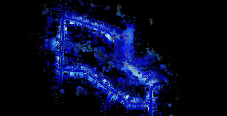
    • 4. Process the data

      Select to input the raw scan data and survey coordinates into Emesent’s Aura software. Ground Control automatically detects the survey targets and applies a non-rigid transformation of the point cloud, giving you the most accurate results.

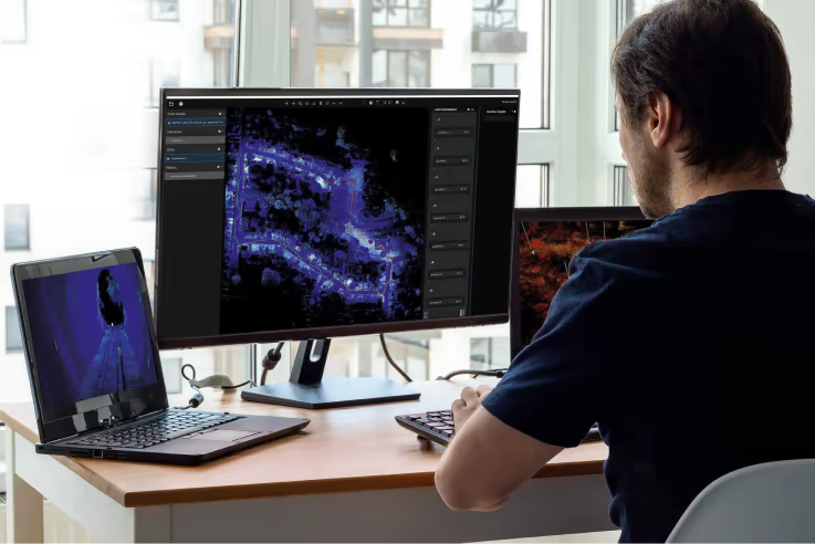
    • 5. Confirm the results

      Processing can be run automatically end-to-end without interaction, or the target detection and constellation matching results can be visualized in Emesent’s point cloud viewer in Aura for confirmation or adjustment.

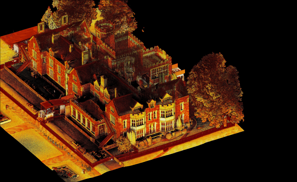
    • 6. Output survey grade results

      An accurate, georeferenced Hovermap point cloud is ready for use.

    Further reading

    • Achieving survey grade with SLAM-based LIDAR Mapping

      Watch the webinar
    • Getting the most out of your Hovermap vehicle scans

      Read the blog
    • Sports field captured with M350 Drone RTK

      Download the dataset

    Backpack Specifications

    Backpack Specifications

    External Dimensions
    498 mm x 370 mm x 185 mm
    Battery Storage
    Built in battery safety – batteries must be disconnected before stowing Hovermap
    Transportation
    ATA (Air Transport Association) 300 rated and fits in most aircraft overhead compartments
    97Wh batteries are approved to fly on most airlines

    Physical Specifications

    Weight
    4 kg empty
    8.5 kg with accessories