
Geotronics Praha - 3D Scanning Day
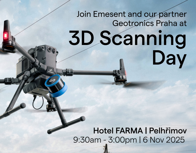
6 November, 2025 | Pelhřimov, Czech Republic
Emesent are excited to announce that Czech partner and Trimble reseller, Geotronics Praha will be showcasing modern 3D scanning technologies at this upcoming free event.
This is your chance to experience Emesent’s Hovermap ST-X, an advanced rapid and versatile LiDAR scanning solution carried by hand, backpack, or mounted on moving platforms (car, UAV etc.) and see its diverse applications in surveying, construction, architecture, and much more.
Meet with Emesent
Take this opportunity to meet Emesent’s Daniel Chamorro during the event. With extensive knowledge of LiDAR-based mobile mapping technology, Daniel will be ready to answer your questions and provide insights into how Hovermap’s accuracy, versatility and data quality can benefit your operations.
Register for Geotronics Praha’s 3D scanning Day and book a time with Daniel. More details are available on Geotronic Praha’s website here.
When: 9:30am – 3:00pm, 6 November 2025
Where: Hotel FARMA, Pelhřimov, Czech Republic
Get the latest on SLAM-based LiDAR mapping
Gain extensive knowledge of the application of SLAM and RTK-based LiDAR technology for mobile mapping with hands-on demonstrations:
- Comparing different 3D scanning instruments and technologies
- Showing the full workflow from data capture to final results
- Practical applications like building documentation, wireframe models, terrain models (DMT), and volume calculations
- Using key tools: Trimble SX12 (power line scanning), Emesent Hovermap (SLAM scanning), Trimble X9/X12 with Trimble Perspective, and UAV platforms.
- Ask Daniel about Hovermap and its applications for your specific use cases.
Why Hovermap?
- Surveying: Hovermap delivers unmatched SLAM accuracy and survey-grade point clouds, streamlining georeferencing and boosting efficiency by eliminating manual steps.
- Construction: Rapidly capture detailed 3D models to optimize project design, planning, and monitoring.
- Architecture: Generate detailed 3D scans of buildings and structures, streamlining design, renovation, and documentation processes with accurate data.
- Support for Trimble: Achieve unparalleled accuracy for RTK georeferencing with Hovermap’s support for Trimble GNSS receivers. Upload Hovermap data to Trimble Business Center.