Skip to content
Payloads
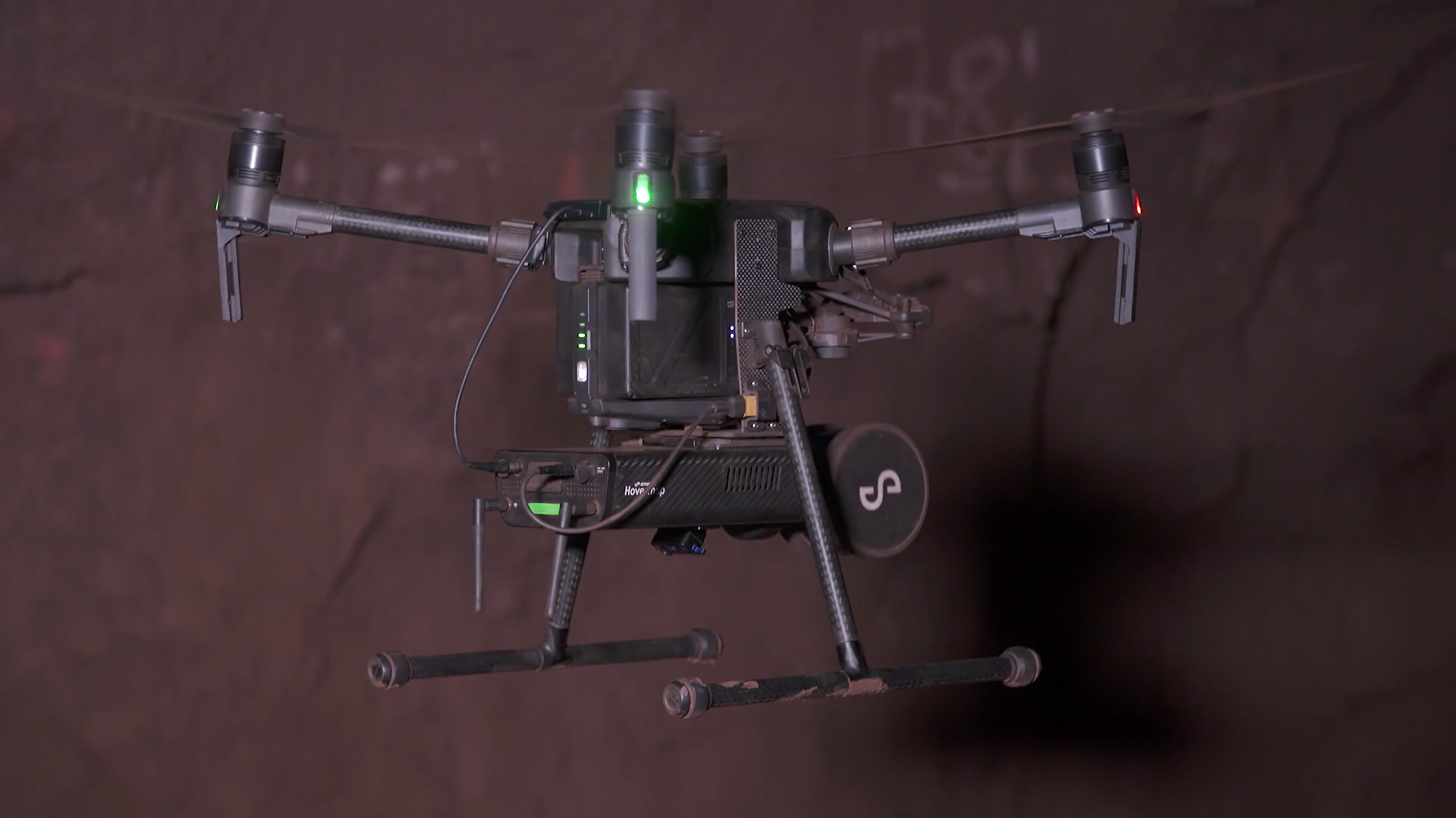
Hovermap
Software
Aura
Commander
Cortex
Accessories
360° Image Kit
Backpack RTK
CMS Mount
Drone RTK
Hovermap Cage
Hovermap LHD
Vehicle RTK
Extensions
360° Colorization
Automated Ground Control
Long Range Radio
Robotics platforms
Boston Dynamics Spot robot
DJI M350 drone
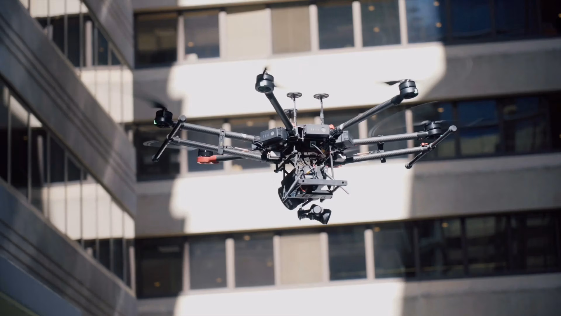
Freefly Astro Max drone
Ready to see how Emesent products work?
Get in touch
Mining
Convergence Monitoring
Open Pit Mine Mapping
Stockpile Measurement
Stope Reconciliation
Underground Mine Production
AEC
Construction As-built Survey
Infrastructure As-built Survey
Routine Bridge Inspection
Scan to BIM
Topographic Survey
Industry use case
AEC
Defense
Geospatial
Mining
Oil and Gas
Public Safety
Third-party software workflows
For AEC
For Mining
Ready to see how Emesent products work?
Get in touch
Our team
Careers
Contact
Emesent’s strengths
Mapping
Autonomy
Versatility
Ready to see how Emesent products work?
Get in touch
Book a Demo
Explore Business Plans
Find a Reseller
Refer a peer
Request Pricing
Visit Emesent Store
Ready to see how Emesent products work?
Get in touch
Resource Center
Blog
Case Studies
Datasets
Events
News
Videos
Webinars
Client Experience
Client Portal
Emesent Academy
Emesent Assure
Knowledge Base
Partner Portal
Ready to see how Emesent products work?
Get in touch
Featured Content
Hovermap
Accuracy Report
Click Here
Products
Solutions
Resources
About
Buy
Client Portal
Partner Portal
Talk to a Specialist
Products
Expand
Payloads
Hovermap
Software
Aura
Commander
Cortex
Accessories
360° Image Kit
Backpack RTK
CMS Mount
Drone RTK
Hovermap Cage
Hovermap LHD
Vehicle RTK
Extensions
360° Colorization
Automated Ground Control
Long Range Radio
Robotics platforms
Boston Dynamics Spot robot
DJI M350 drone
Freefly Astro Max drone
Solutions
Expand
Mining
Convergence Monitoring
Open Pit Mine Mapping
Stockpile Measurement
Stope Reconciliation
Underground Mine Production
AEC
Construction As-built Survey
Infrastructure As-built Survey
Routine Bridge Inspection
Scan to BIM
Topographic Survey
Industry use case
AEC
Defense
Geospatial
Mining
Oil and Gas
Public Safety
Third-party software workflows
For AEC
For Mining
Resources
Expand
Resource Center
Blog
Case Studies
Datasets
Events
News
Videos
Webinars
Client Experience
Client Portal
Emesent Academy
Emesent Assure
Knowledge Base
Partner Portal
About
Expand
Our team
Careers
Contact
Emesent’s strengths
Mapping
Autonomy
Versatility
Buy
Expand
Book a Demo
Explore Business Plans
Find a Reseller
Refer a peer
Request Pricing
Visit Emesent Store
Customer Portal
Partner Portal
Book a Demo
✖
Search
Toggle Menu Close
Resource Center
Filter by
Use Case
Resource Type
Industry
Any
News
Webinars
Videos
Case Studies
Blog
Datasets
Brochures
Any
News
Webinars
Videos
Case Studies
Blog
Datasets
Brochures/Case Studies
Any
Mining
Engineering & Construction
Geospatial
Environmental
Oil & Gas
Defense
Reset
Videos
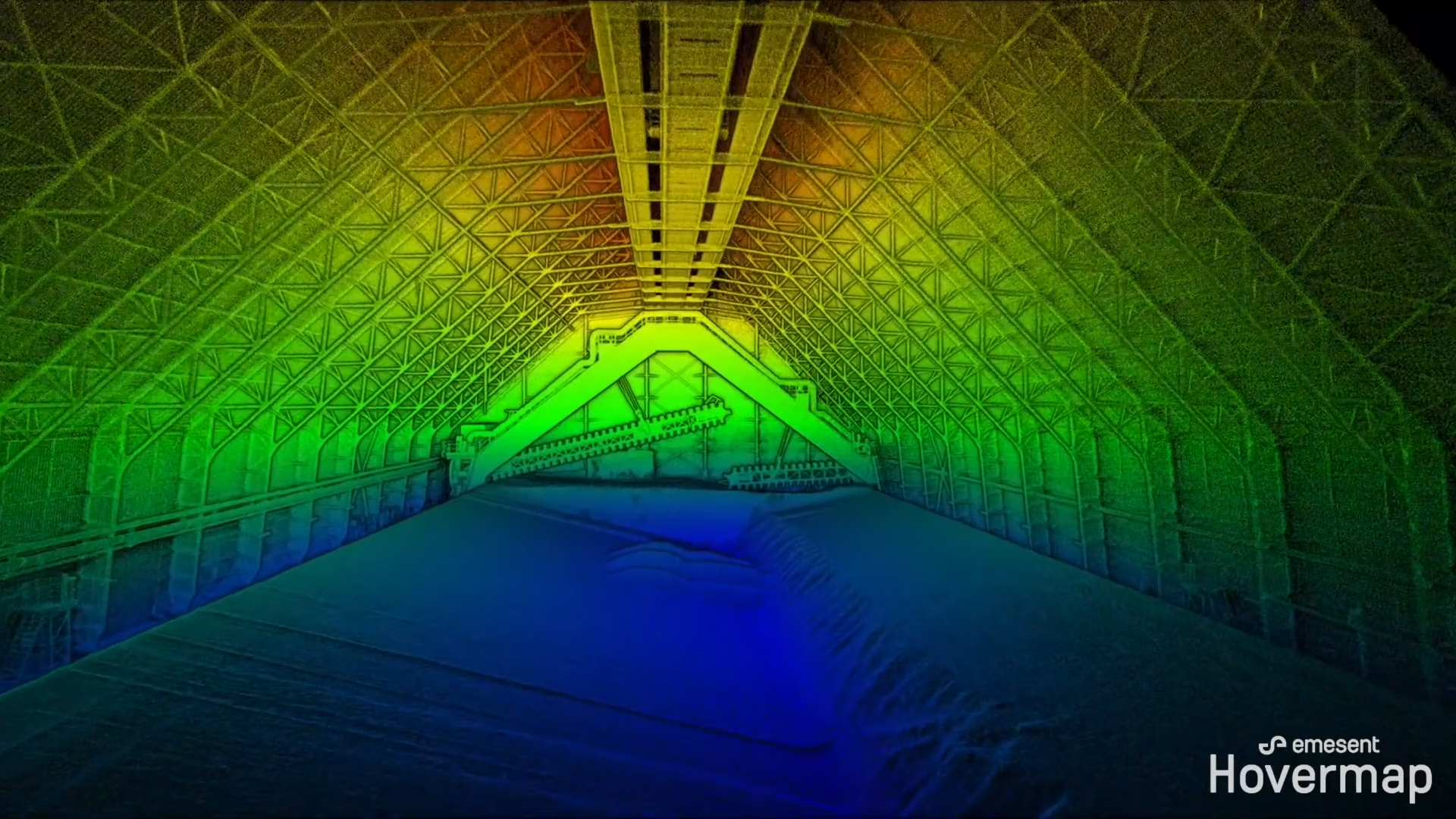
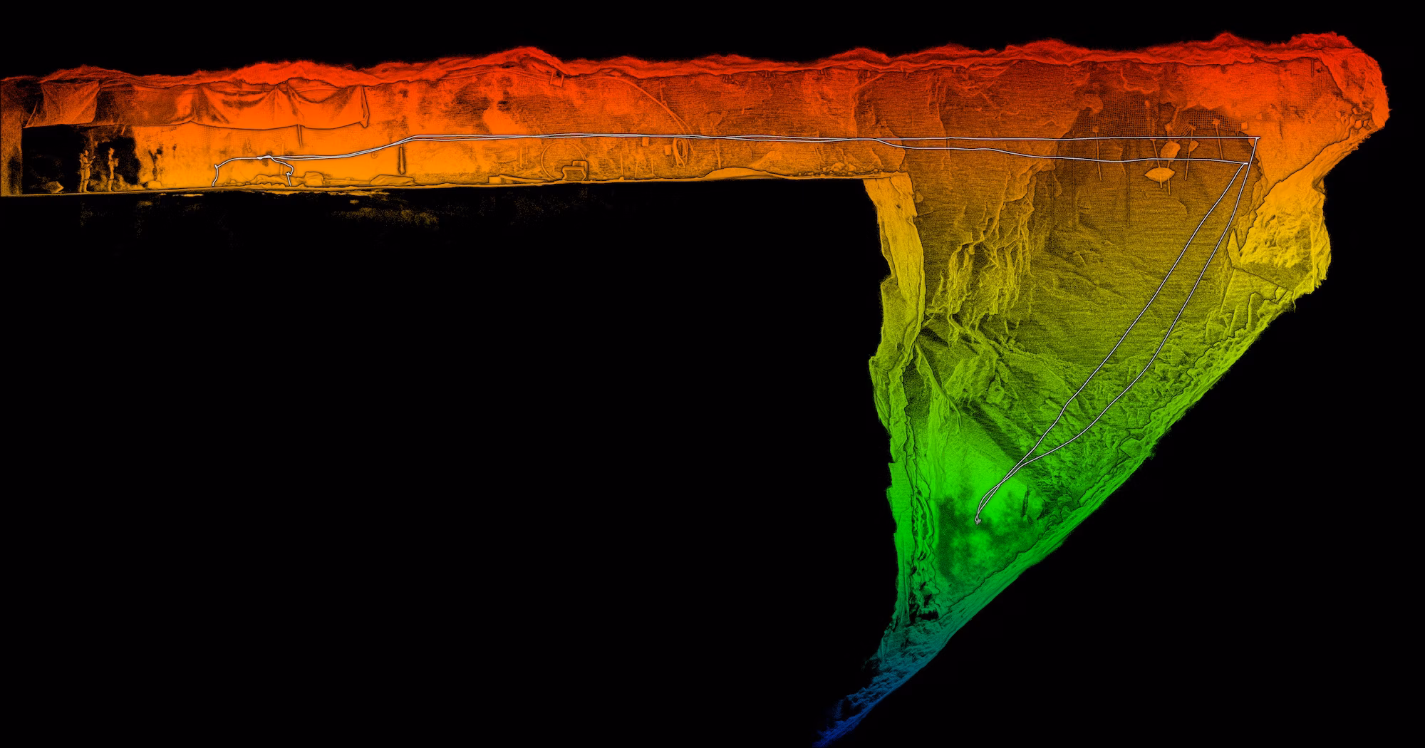
Hovermap indoor stockpile scan
Read more
Continue
Videos
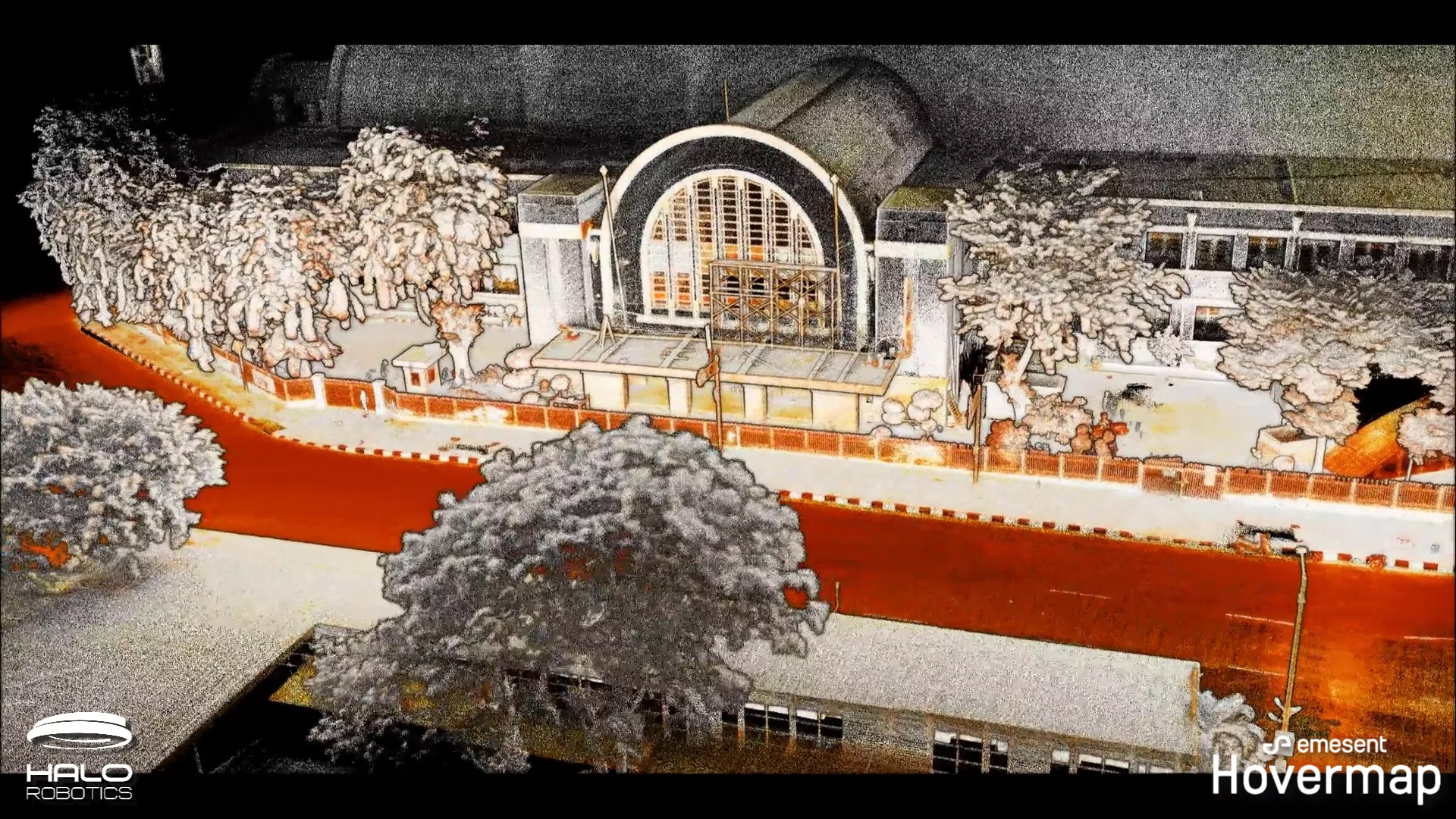
Jakarta Mass Rapid Transit
Read more
Continue
Videos
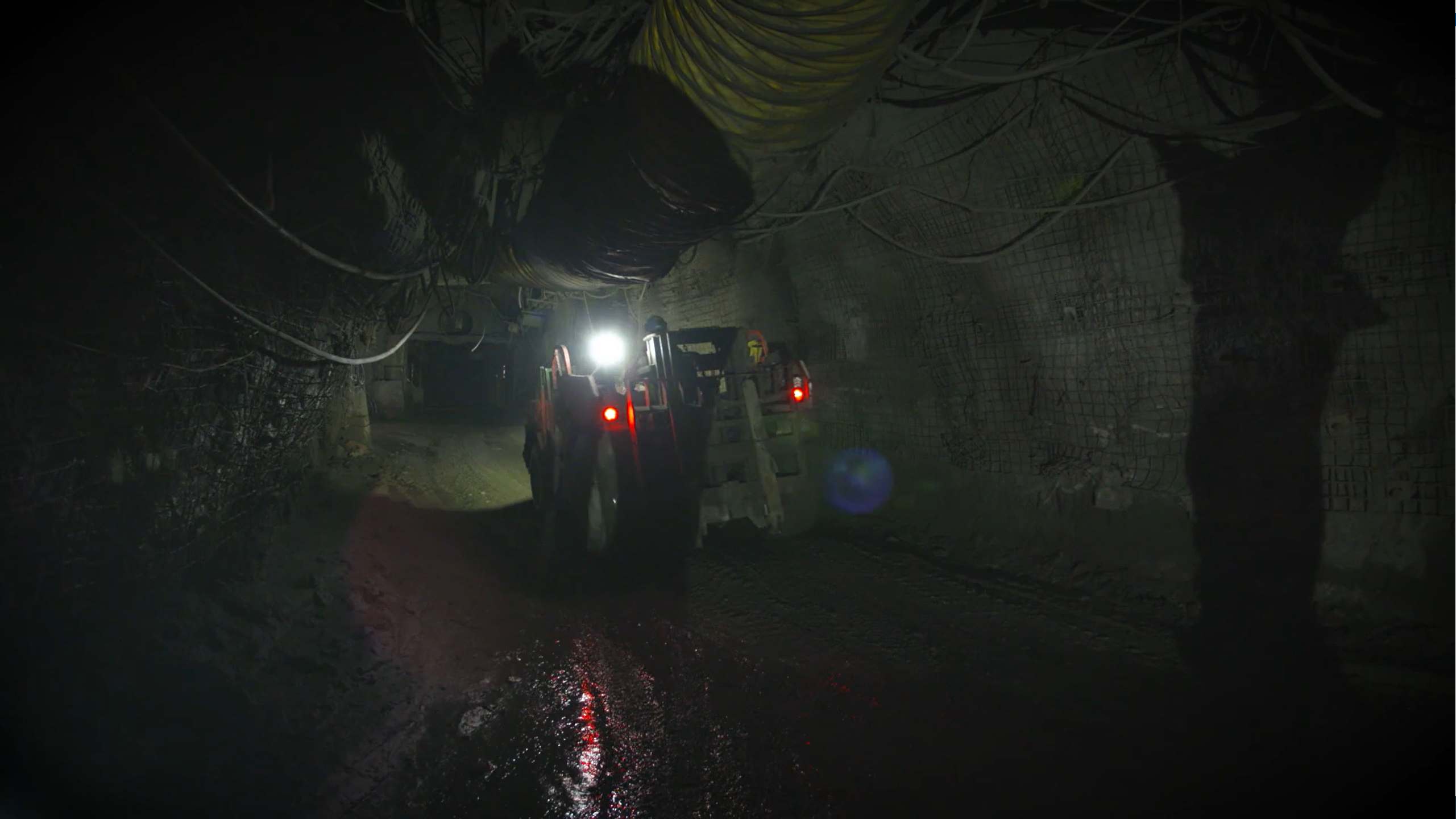
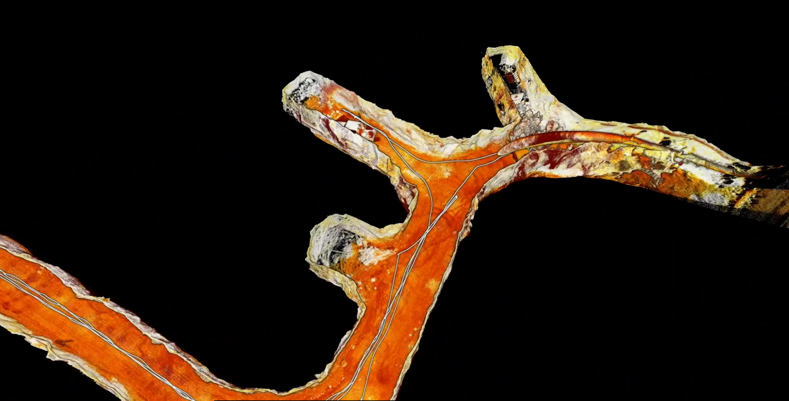
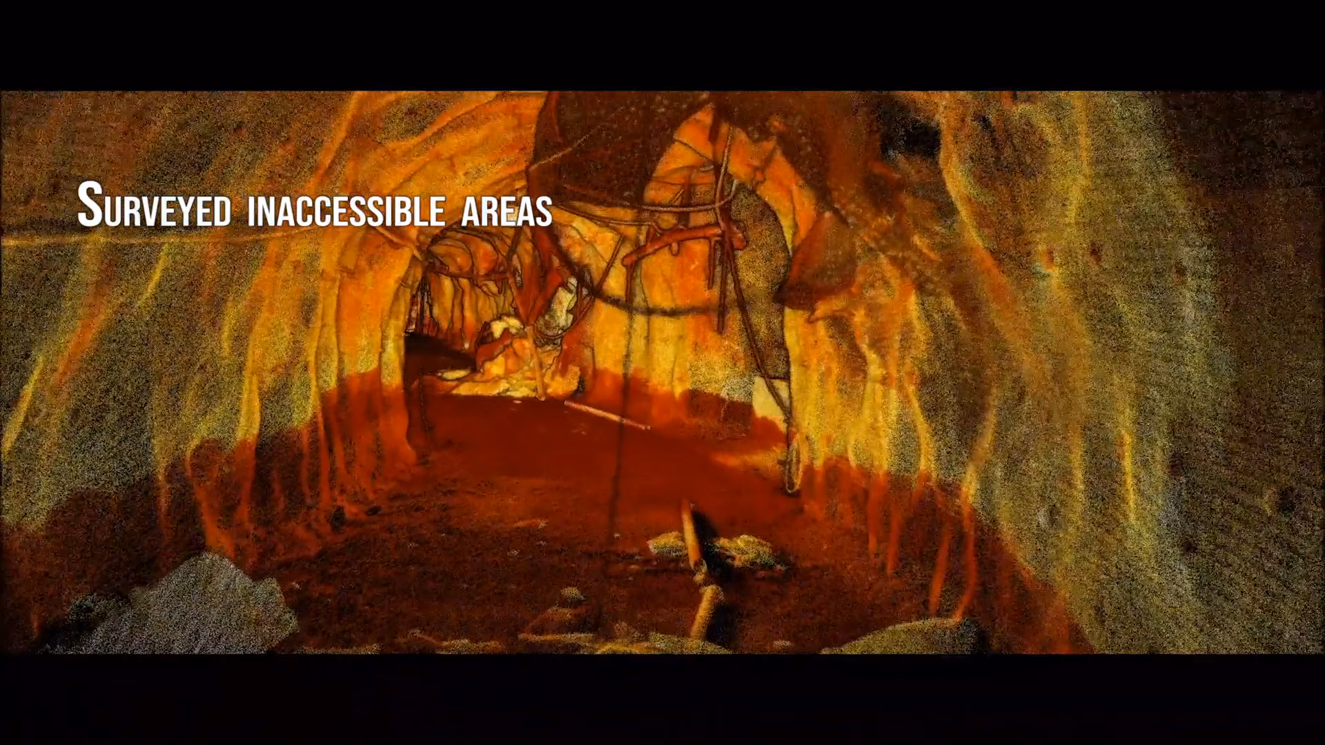
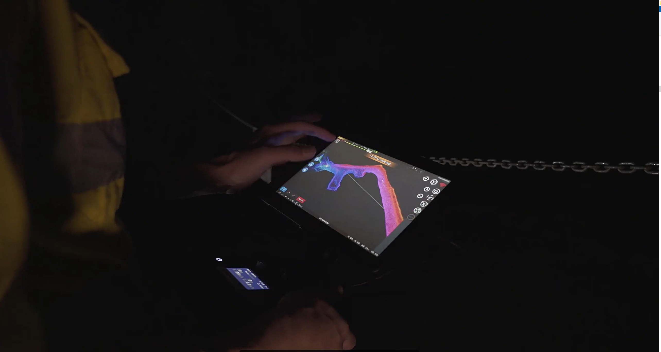
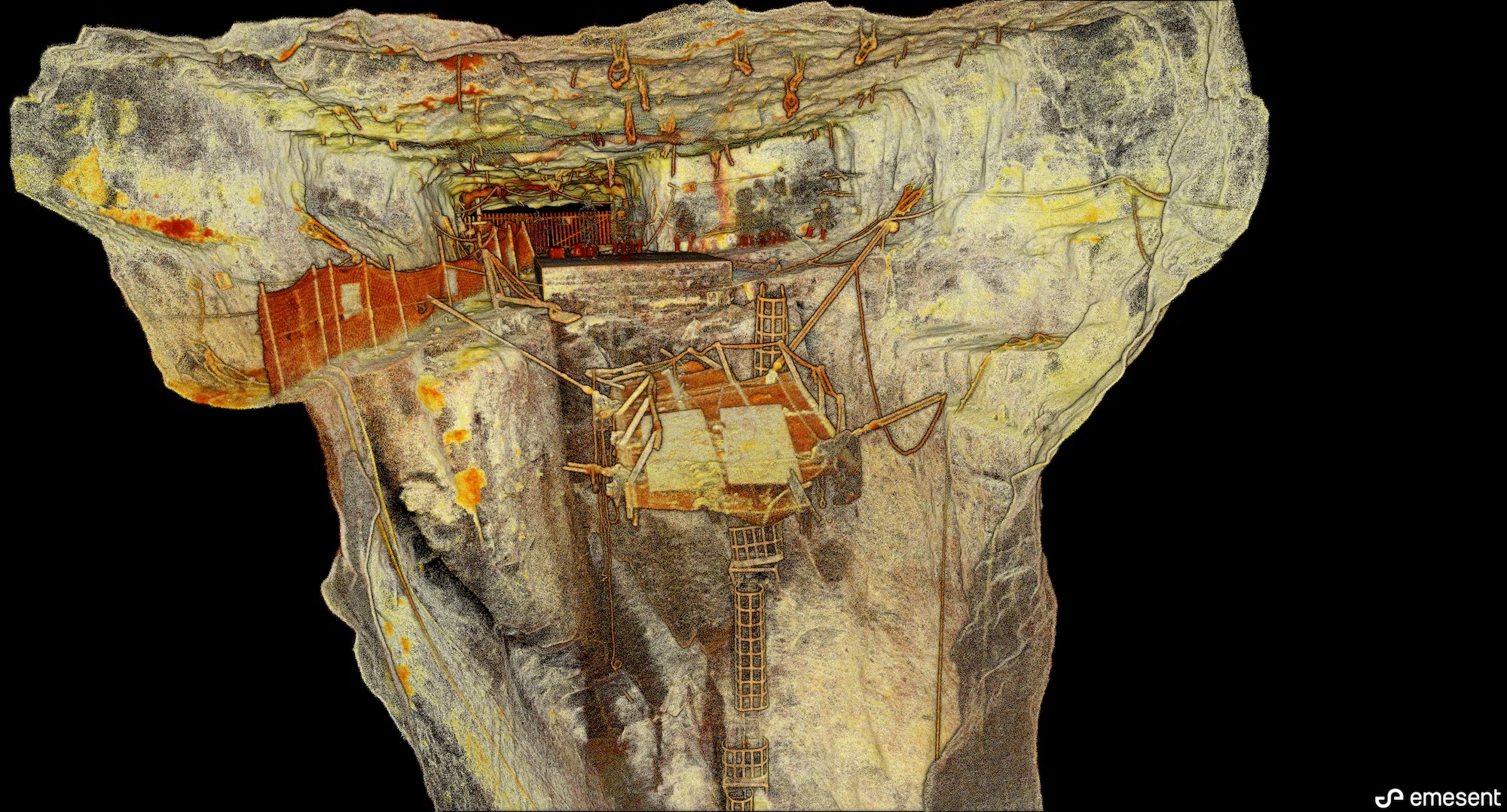
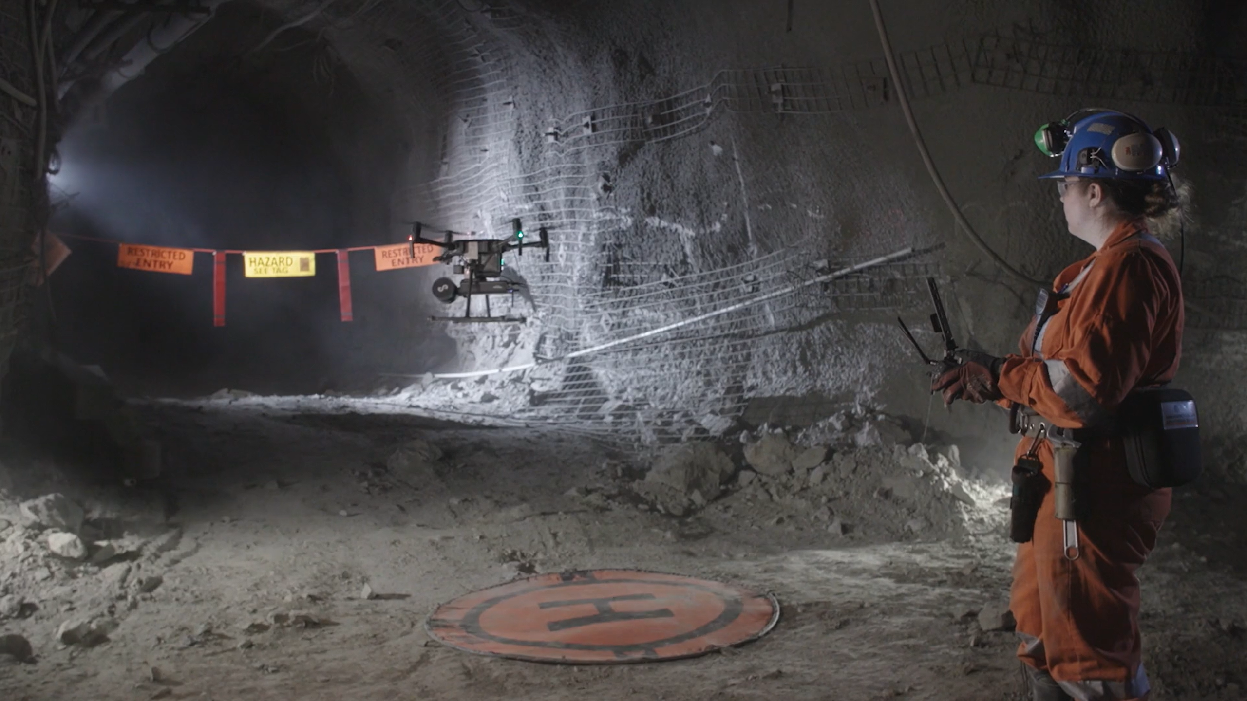
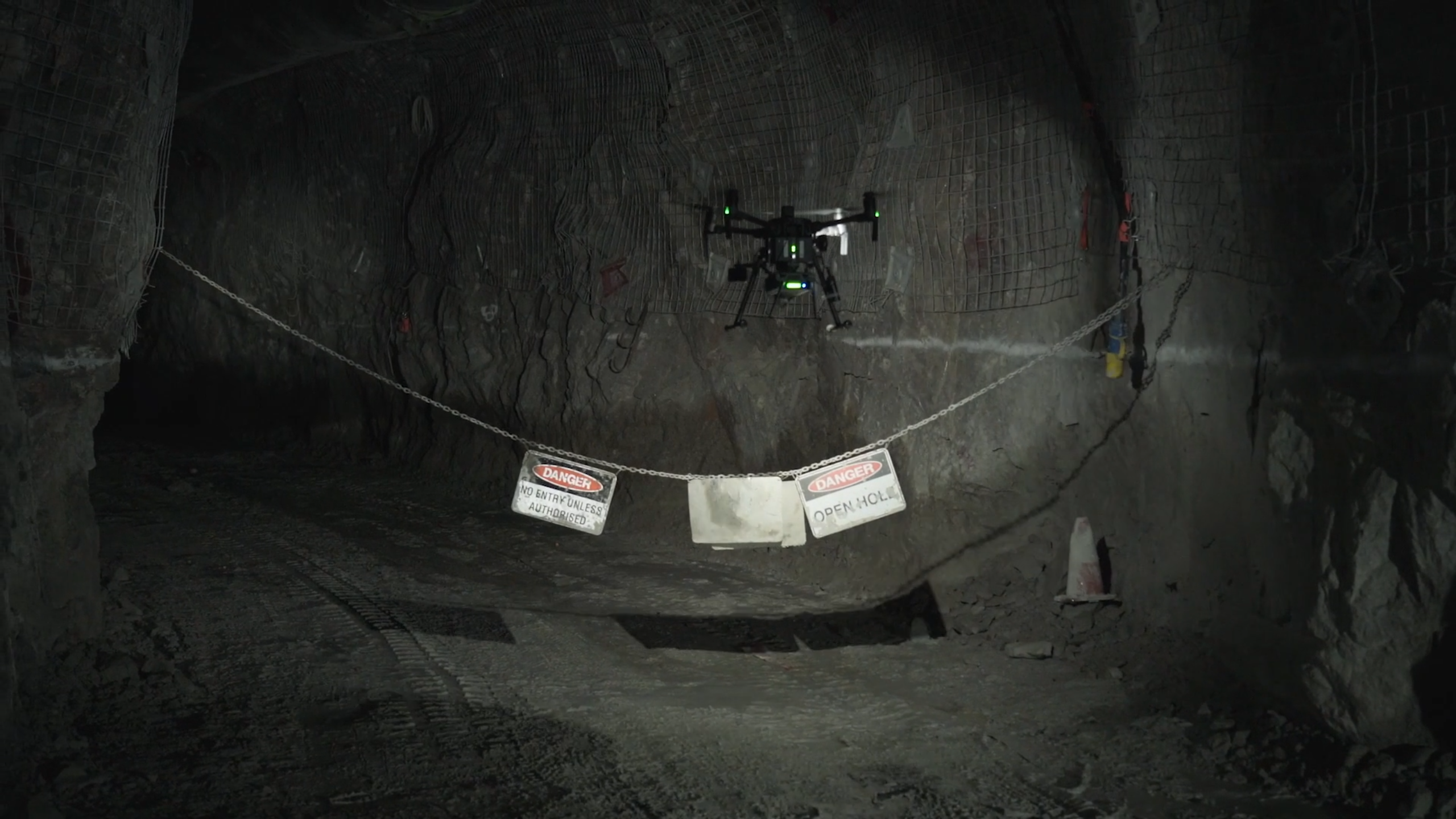
Underground mining – Emesent & UAS
Read more
Continue
Videos
Trafikverket Scan
Read more
Continue
Videos
Mining More Efficiently with Hovermap
Read more
Continue
Videos
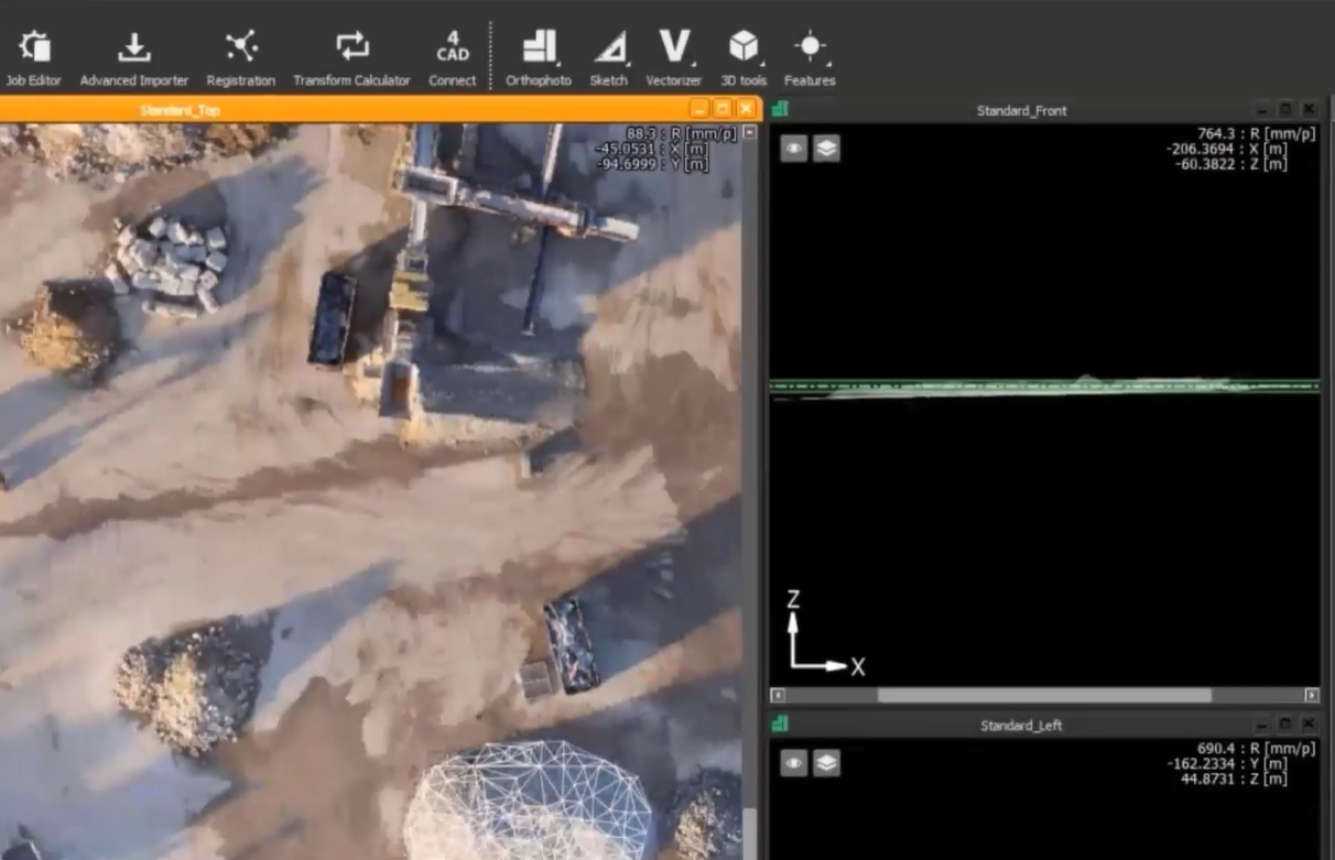
Hovermap Data in PointCab Origins
Read more
Continue
Videos
Digital Terrain use Hovermap
Read more
Continue
Videos
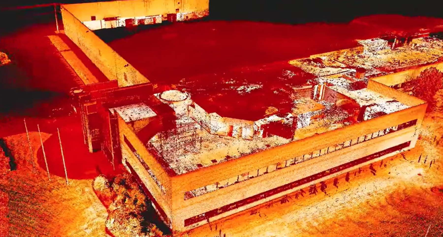
Hovermap Building mapping and facade inspection
Read more
Continue
Videos
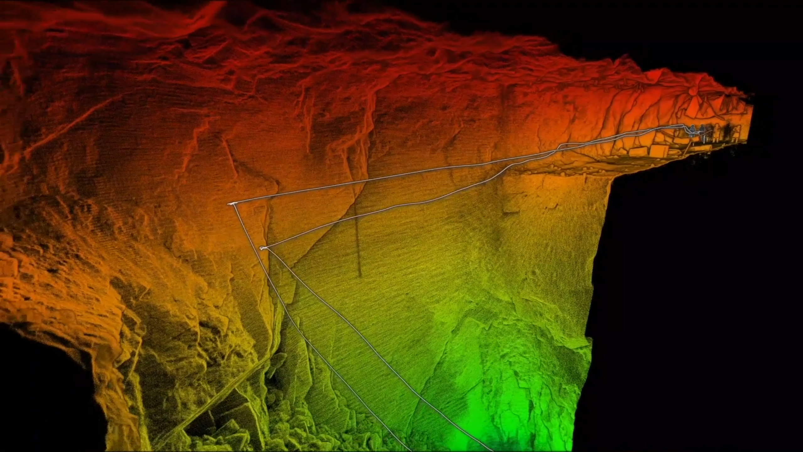
Case study: LKAB Kiruna Mine earthquake
Read more
Continue
Videos
Hovermap Autonomous Flight in Underground Mines
Read more
Continue
Videos
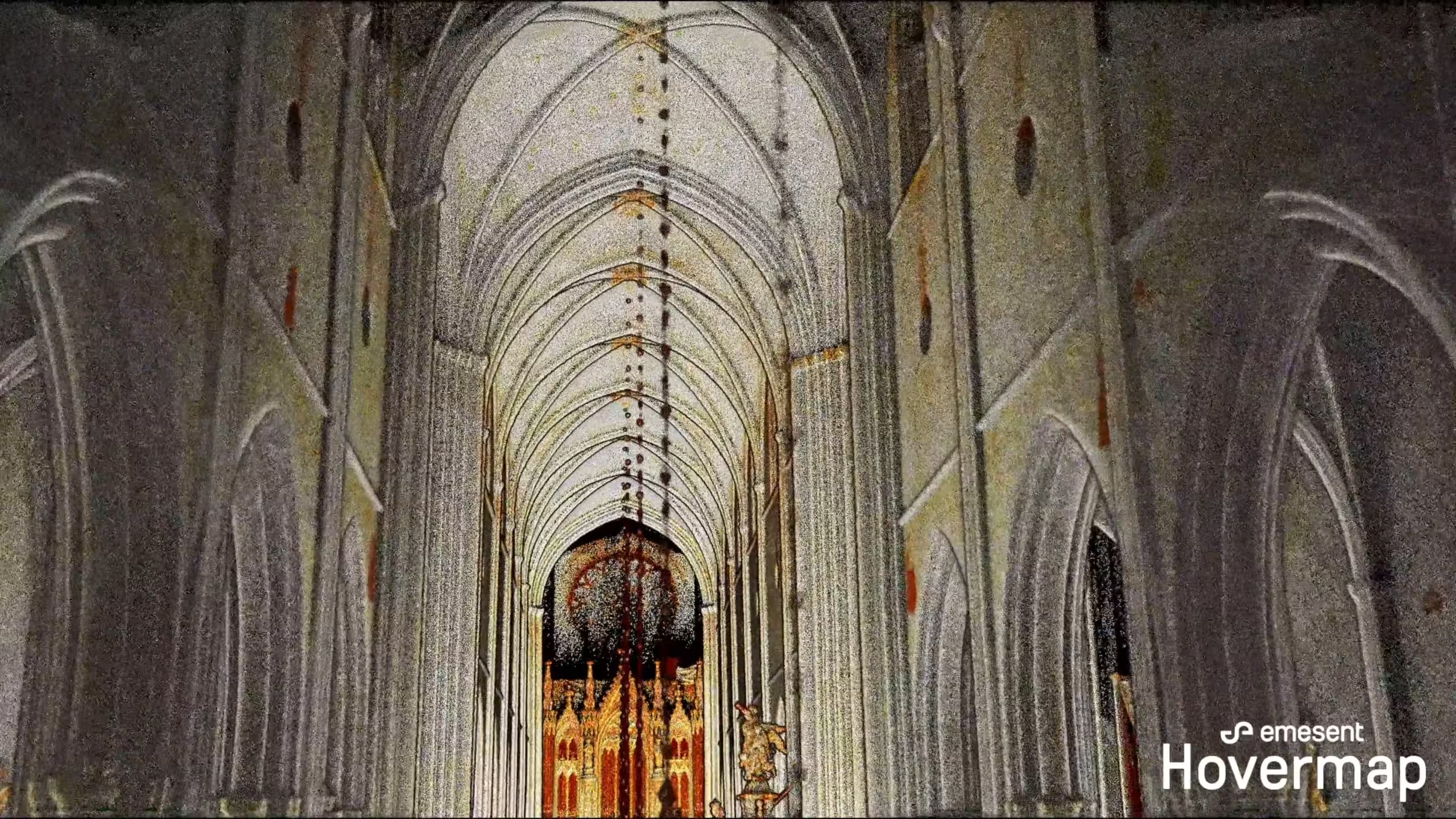
Hovermap Scan of Uppsala Cathedral
Read more
Continue
Videos
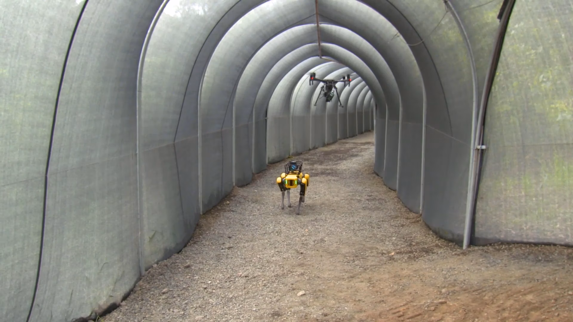
Hovermap expands platform to Spot the Dog
Read more
Continue
Videos
Scan to BIM
Read more
Continue
Videos
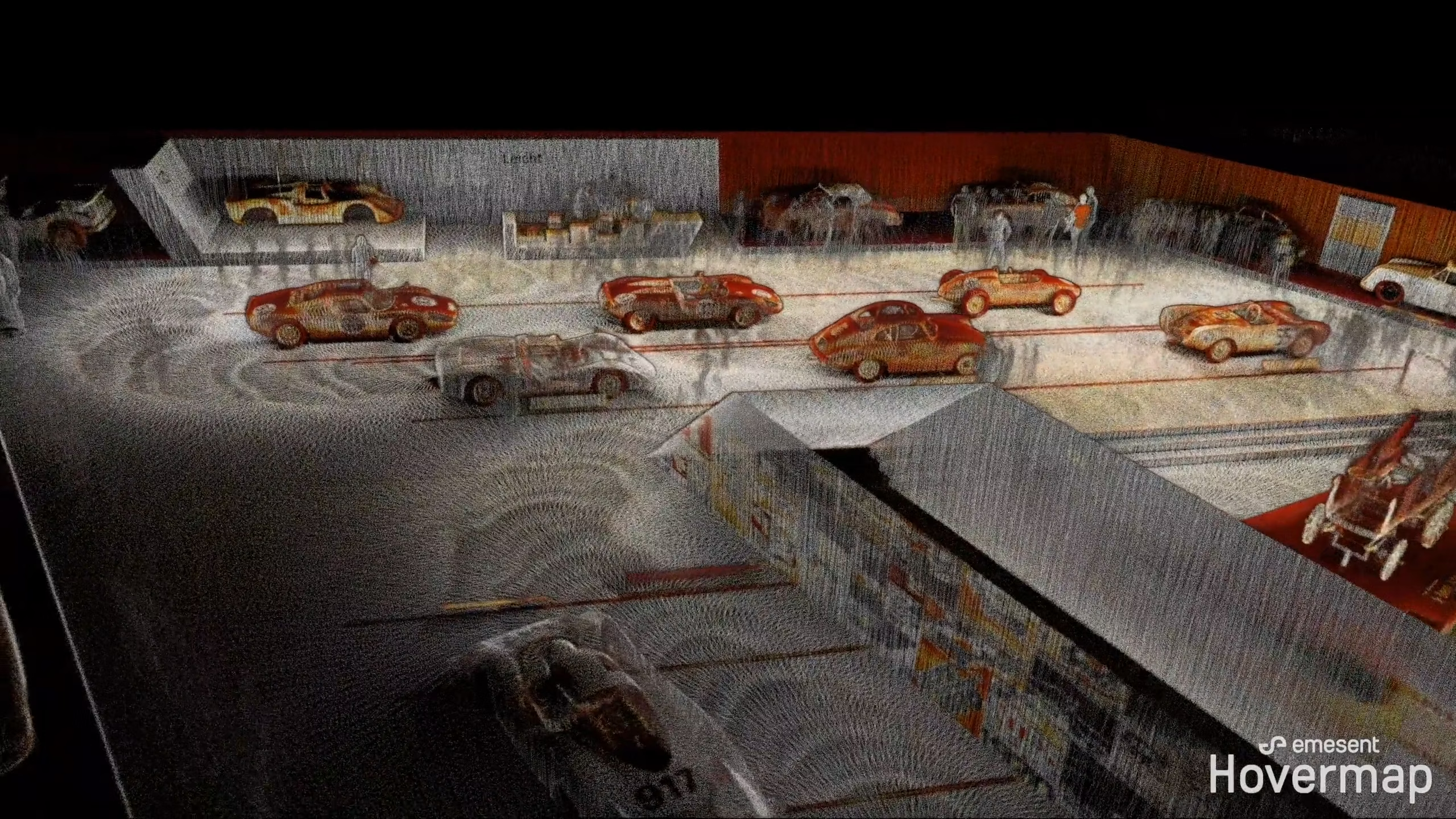
Hovermap Porsche Museum scan
Read more
Continue
Videos
Improving ground support at Glencore’s Kidd Operations
Read more
Continue
Videos
Capturing Data for the Digital Mine
Read more
Continue
Videos
Mapping stopes quickly, safely and easily
Read more
Continue
Videos
Hovermap underground crusher scan
Read more
Continue
Videos
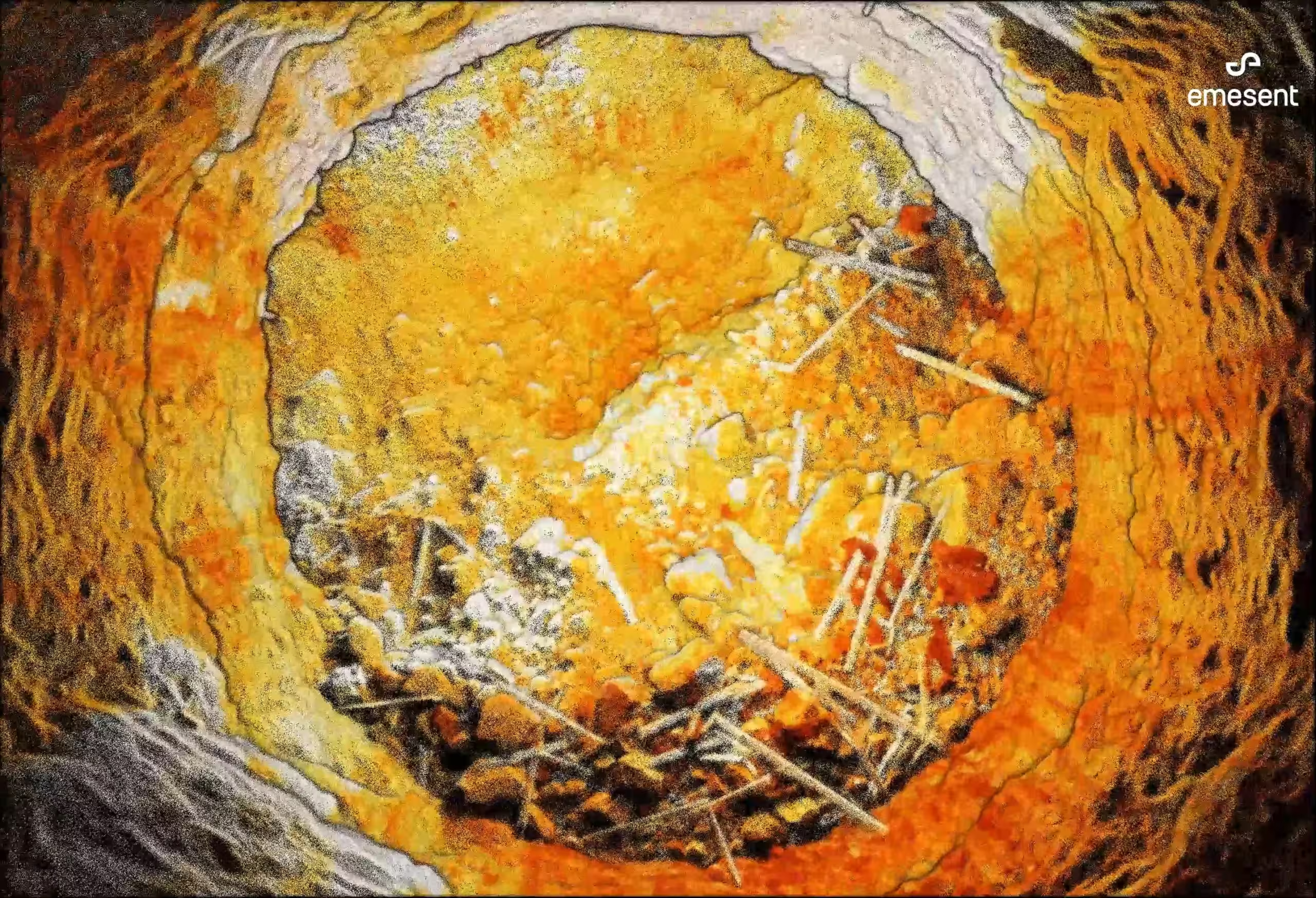
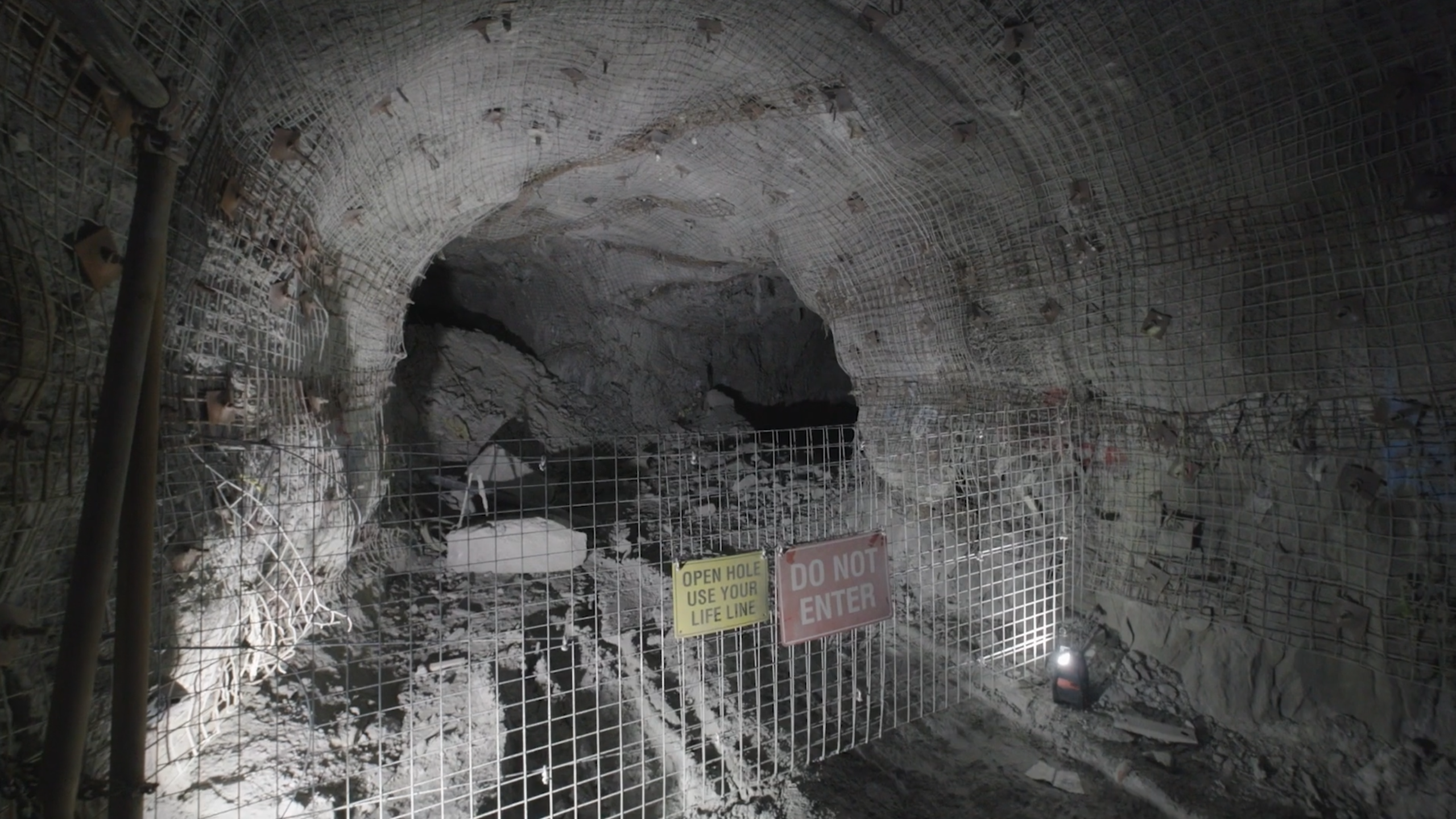
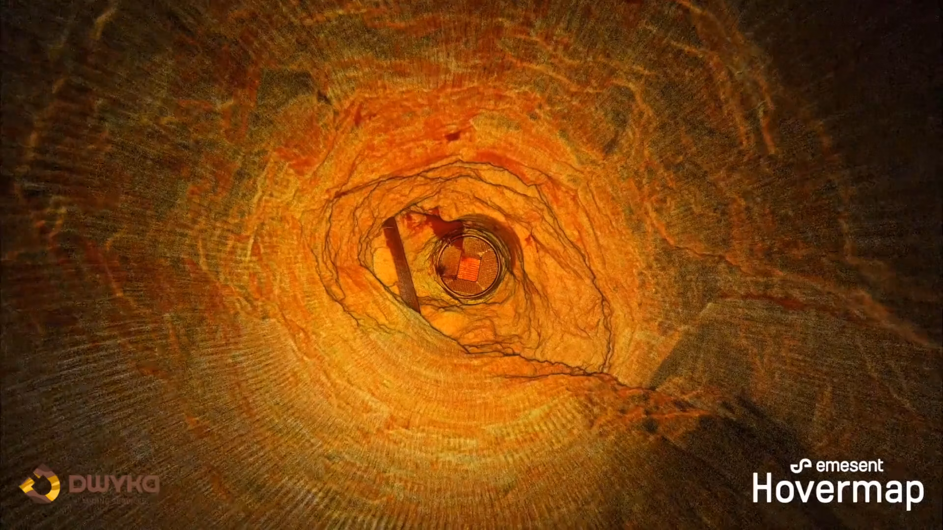
Hovermap ore pass scan
Read more
Continue
Videos
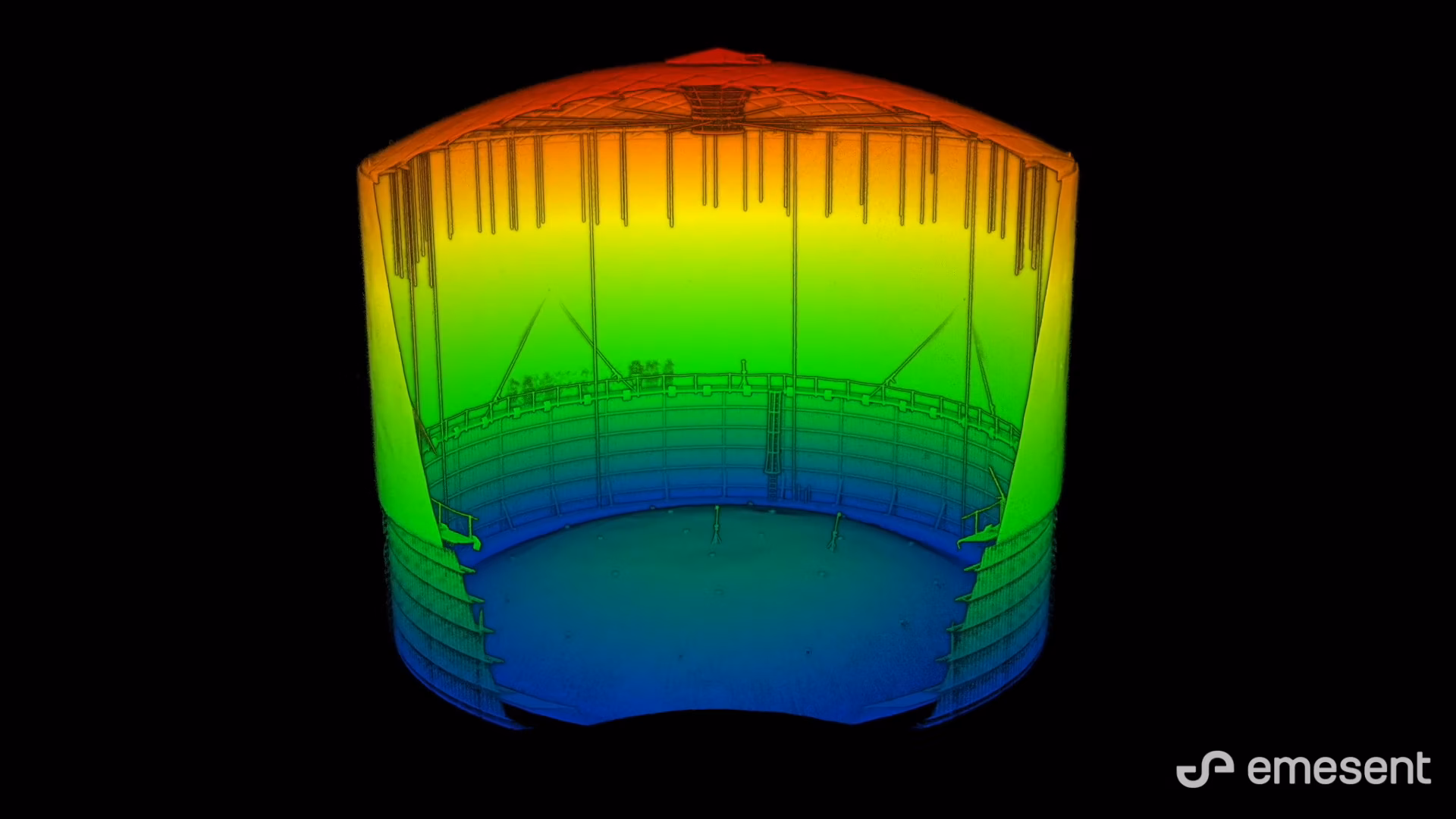
Hovermap storage tank internal scan
Read more
Continue
Videos
Automation Level 2 for Hovermap
Read more
Continue
Videos
Hovermap Silo Scan
Read more
Continue
Videos
Importing Hovermap Data into PointCab Origins
Read more
Continue
Videos
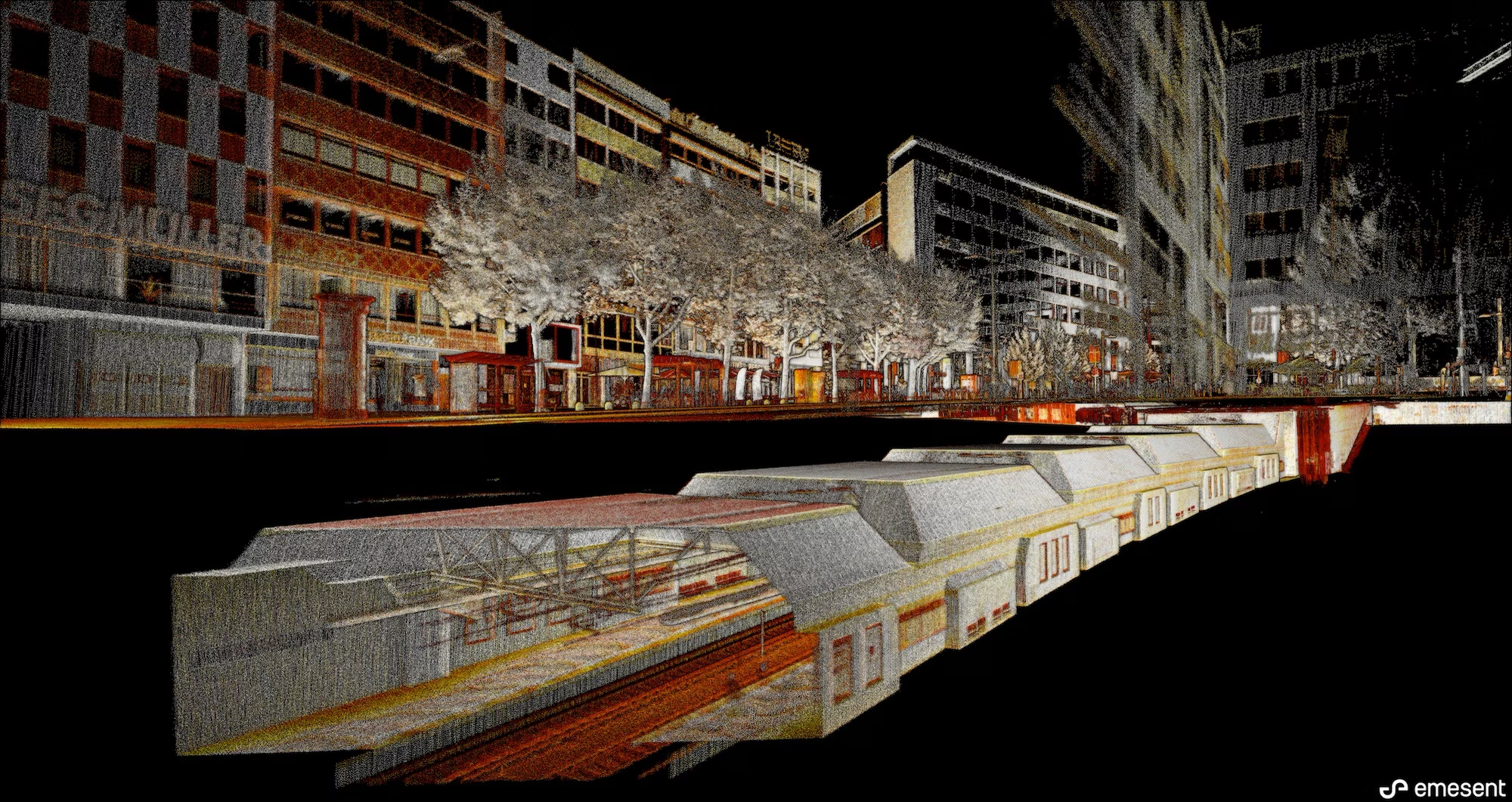
Hovermap metro station scan
Read more
Continue
Videos
Remote capture of geotechnical data
Read more
Continue
Videos
Smart Return-to-Home Failsafes Maximize Hovermap Data Capture Time
Read more
Continue
Videos
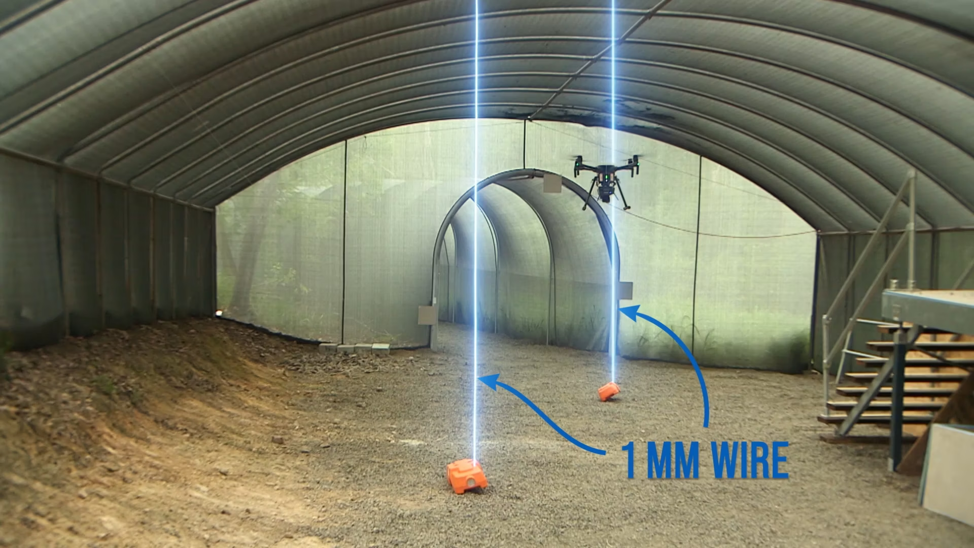
Hovermap detects 1mm wires
Read more
Continue
Videos
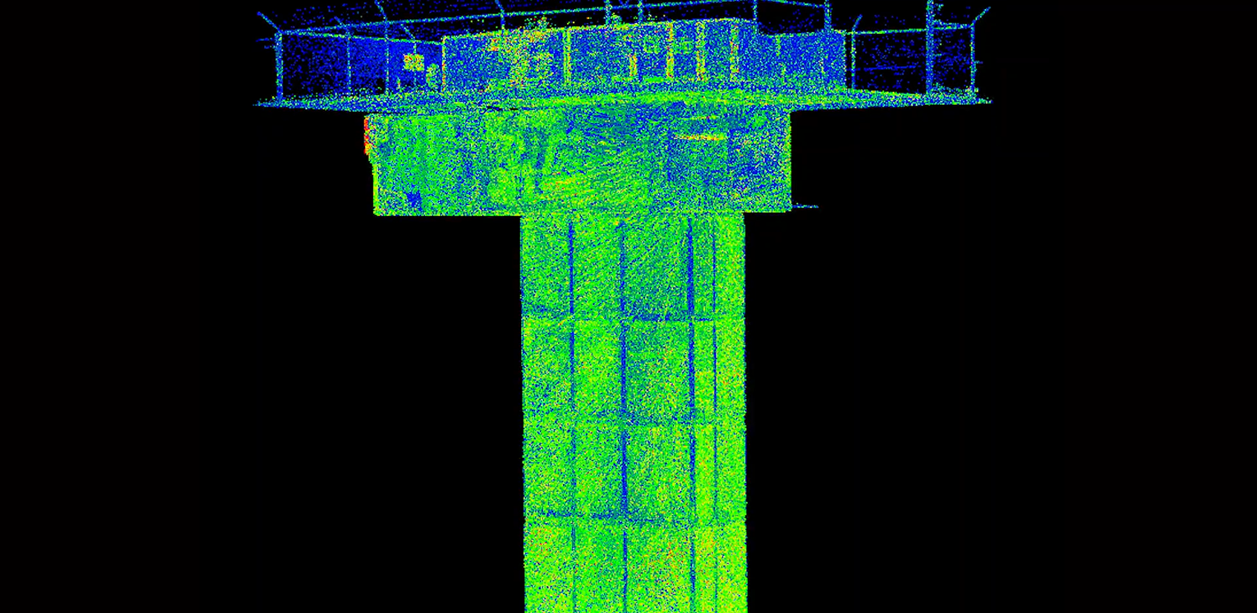
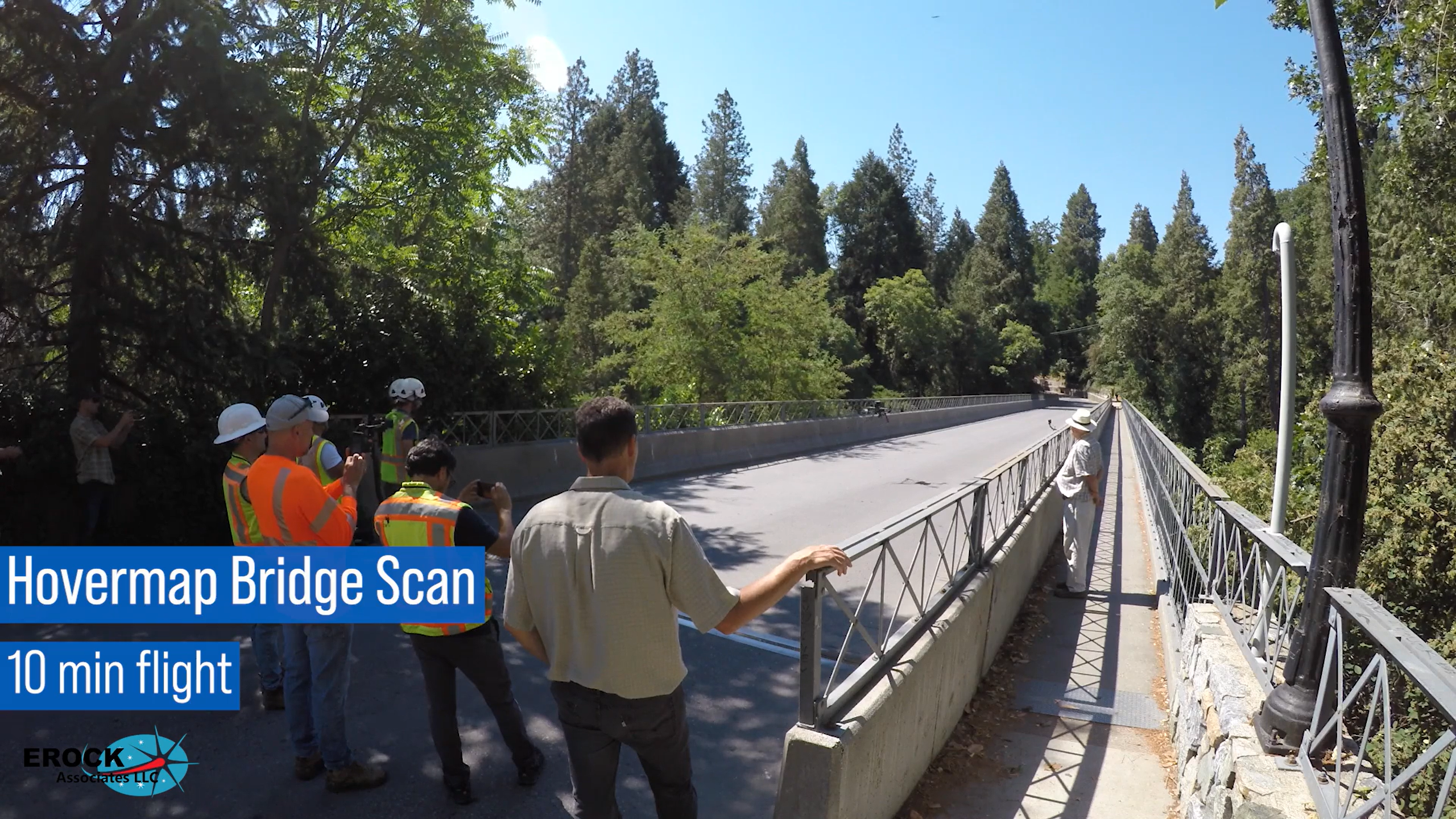
Hovermap bridge scan to BIM
Read more
Continue
Videos
Scan to BIM – Elevator Shaft
Read more
Continue