Safe, Fast & Easy Mapping of Underground Hard Rock Mines
Safe, Fast & Easy Mapping of Underground Hard Rock Mines
Mining and regional stresses make underground mines high-risk environments for personnel, equipment, and infrastructure. Measuring and monitoring cavity conditions are essential for safe and efficient operations.
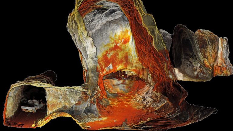
Hovermap, a SLAM-based LiDAR mapping system, offers new methods for data capture in underground drifts/drives, stopes, vertical raises and shafts.
When drone-mounted Hovermap enables autonomous flight and collision avoidance capability to produce shadowless, high resolution scans of any underground area. Data capture of inaccessible areas is possible while personnel remain safe, away from stope brows, drawpoints or other hazardous locations.
This paper outlines a range of data capture applications where Hovermap improves worker safety, reduces data capture and improves data quality—with minimal disruption to production.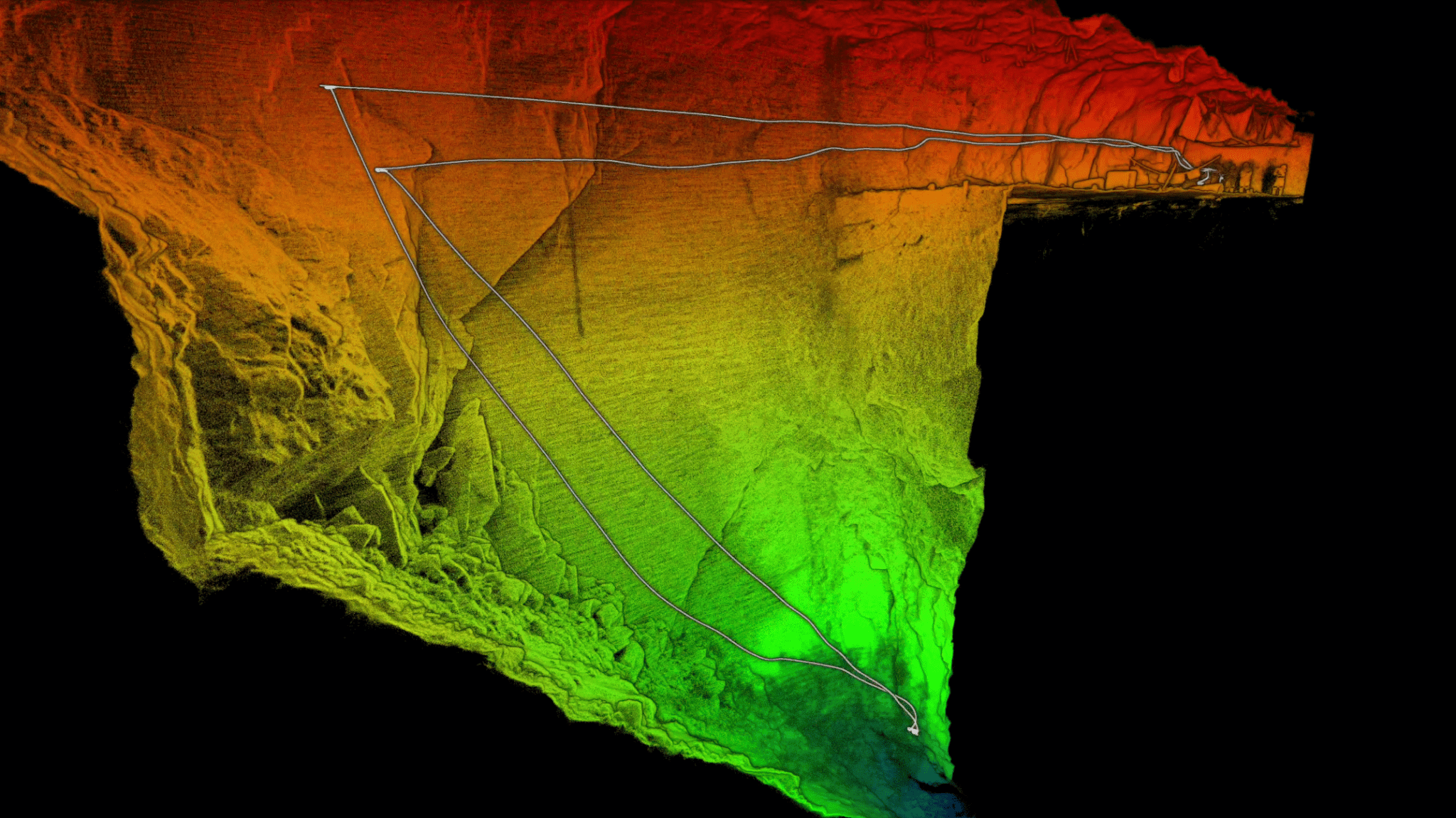
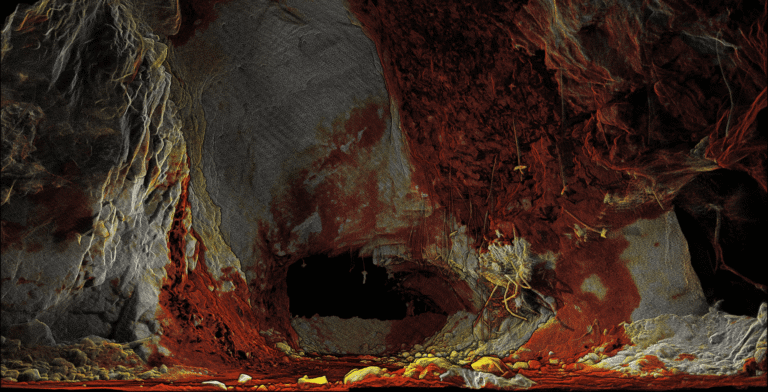
Hovermap captured a high resolution, shadowless point cloud of this stope in a 3-minute beyond line-of-sight flight. Personnel remained well back from the stope brow. The 3D point cloud revealed a previously unknown area of over-break that would have affected end-of-month reconciliation.