Vertical Infrastructure
Mapping Vertical Infrastructure – Hovermap in Underground Mines
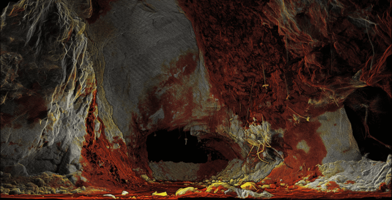
Vertical infrastructure, orepasses, shafts, and raises, can be difficult, dangerous, and costly to scan. With Hovermap, it’s now possible to capture data of vertical excavations and produce point clouds of unprecedented accuracy and detail. This allows mining teams to make more informed condition monitoring and remediation decisions, potentially saving their operation millions of dollars.
Download the full use case to understand how Hovermap captures accurate and high-resolution data of previously inaccessible vertical excavations.
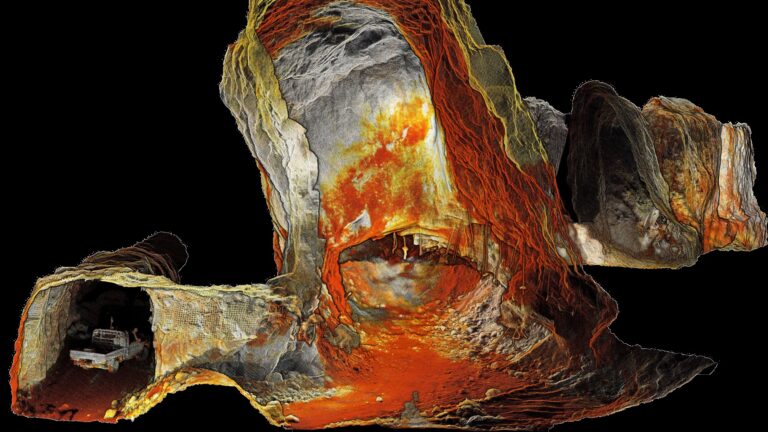
This orepass was scanned by a beyond-line-of-sight autonomous -Hovermap flight. Hovermap planned its own flight path and descended about 150 m (165 yd) into the orepass


