Using Hovermap data in Maptek PointStudio
Capturing, processing and applying data from inaccessible areas is now easier than ever thanks to the partnership between Maptek PointStudio and Emesent Hovermap.
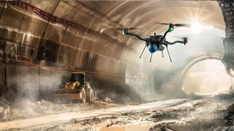
Find out how to capture data from previously inaccessible areas, including beyond-visual-line-of-sight and in GPS-denied environments such as stopes, ore passes, and raises.
Then efficiently process the data to generate accurate information for decision making, like calculating volume, discontinuity mapping, differential solid volume, convergence monitoring, and drawpoint fragmentation analysis.
Watch this webinar to learn:
- How data capture in inaccessible areas can be made easier.
- How quickly the resulting data can be processed in PointStudio using the customized workflows
- The numerous ways this data can be used, including georeferencing, volume calculations, automatic change detection, and more.
- Real-world examples of how Hovermap and Maptek customers have benefited from the integration


