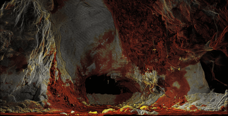
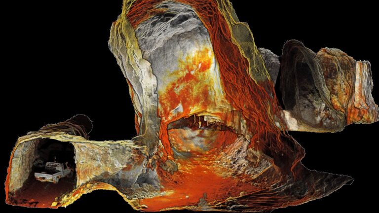
Leveraging 3D Data for Decision-Making in Public Safety
The ability to pair GIS information with other data is critical in enabling first responders to better prepare and plan for an incident, ensuring they are positioned to be proactive instead of reactive, which is the current paradigm.
In this recently published Public Safety ebook, find out how Emesent Hovermap’s 3D capture and visualization capabilities help first responders plan and prepare for their next big incident response.