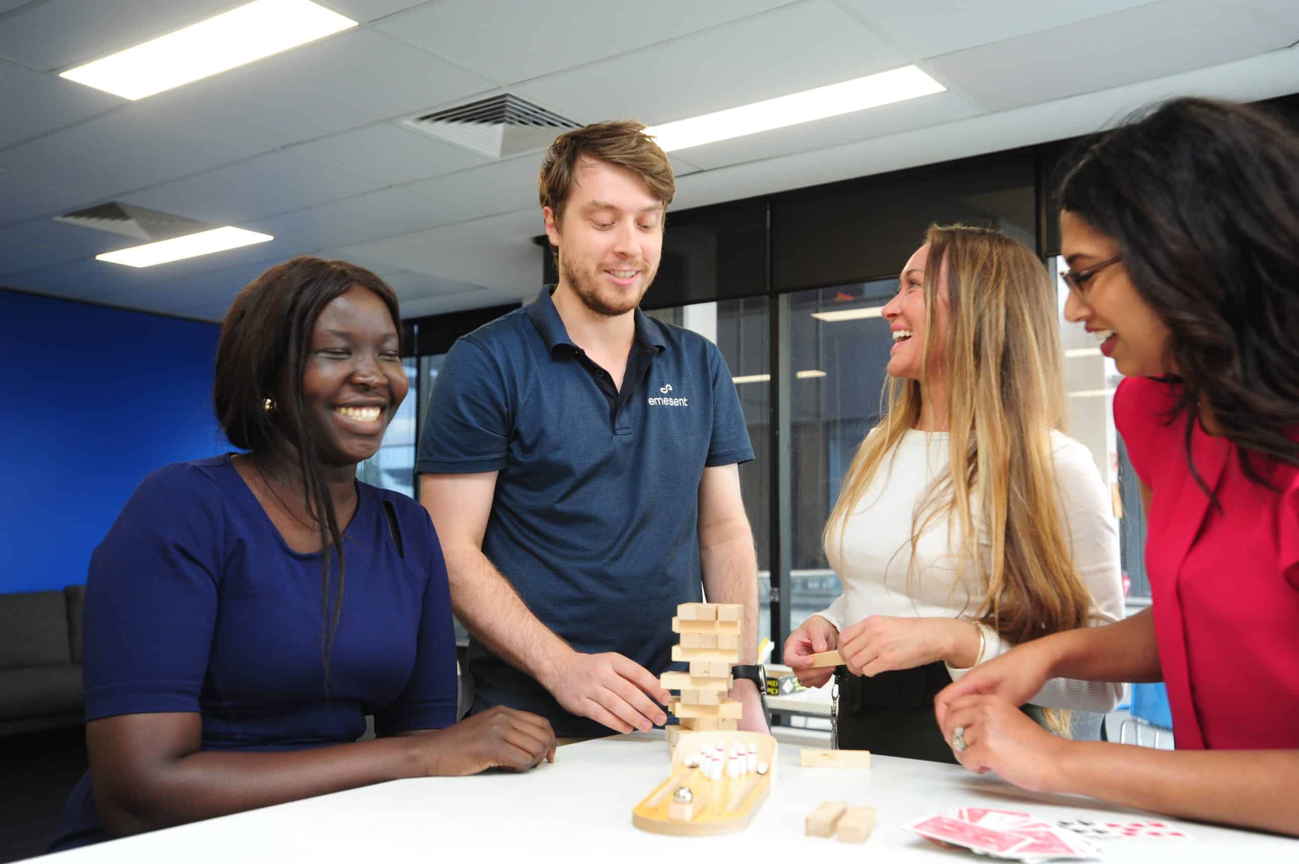
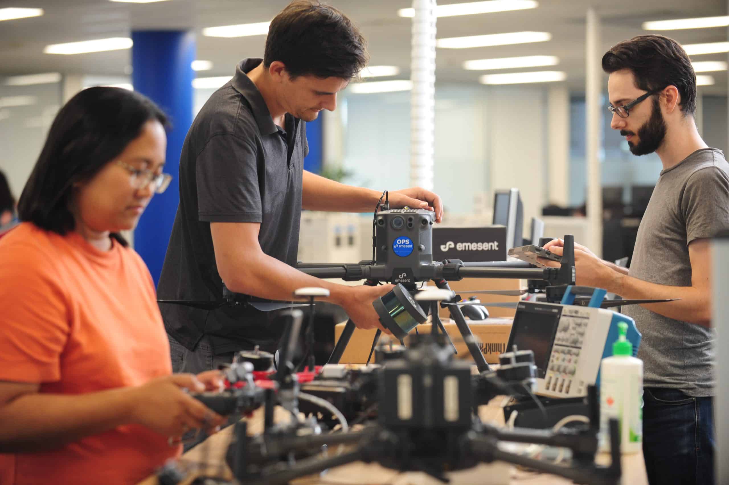
When a station in Hyltebruk in southwest Sweden was alerted to a surface level sinkhole above a water tunnel, they needed to locate and investigate the rockfall and probable deterioration [...]
Autonomous mapping in vertical shafts makes for fast, efficient digitalization Good mapping data is essential for underground infrastructure work. Inaccurate or incomplete mapping data sources can increase the risks to [...]
In this webinar, Willie Whelan, Vice President - Business Development at Canadian data acquisition company Osprey Integrity, shares their insights for expediting the repair of often extensive damage to critical infrastructure [...]
Indonesia is one of the world’s largest producers of geothermal power and has been using it since the 1970s. Geothermal power plants access the subsurface geothermal reservoirs of hot water [...]
Enabling Visualization of Dense DataVisualization Team in Engineering For the past couple of years, our Visualization Engineering Team has been building software to provide insights from data collected by Hovermap. [...]
After a natural disaster, repairing critical infrastructure can take years, making it difficult to return to life as usual. Forming an accurate damage assessment is vital as the first step [...]
World-leading drone autonomy company, Emesent, is increasing its footprint in Asia by appointing six new resellers in the region, including master resellers in Japan and China, Mirukuru Co Ltd in [...]
Digitally capturing 3D point cloud data for oil and gas assets presents unique challenges and opportunities. An onshore compressor station is no exception, comprising vast amounts of equipment that typically [...]
CMOC's Northparkes mine is Australia's first block cave mine and one of Australia's largest copper producers, providing 26,997 tonnes of copper in 2020. In 2018 Northparkes commenced a ventilation upgrade [...]
World-leading drone autonomy company, Emesent, is increasing availability and support to the American market with a regional office in Denver, Colorado. The office, which opened in February, will service the [...]
This report, produced by Verdantix, delves into the features that enable Hovermap to assist in the rapid creation of digital twins, including: the ability to enable compatible drones to navigate [...]
GeoZICHT sought a tool to enhance the collection of complete visual inspection data for bridge inspections while also increasing the overall safety of the underlying process. As the bearer of [...]
Unlocking new valuable mining insights for underground and open pit operations Watch this presentation to hear how autonomous LiDAR technology can be used to map large underground voids, vertical shafts, [...]
Watch this webinar to discover how Trevali's Rosh Pinah deploys Hovermap in its underground mine to support planned expansion. Watch this webinar to learn how: deployment of Hovermap has reduced [...]
Unrivaled SLAM Accuracies and Workflow Efficiencies with Hovermap ST and the Automated Ground Control Feature Watch this webinar to hear from Emesent CEO and Co Founder Dr Stefan Hrabar and [...]
Emesent today announced the launch of Hovermap ST, the latest version of their world-leading Hovermap autonomy and mapping payload. The tough, lightweight, IP65 rated Hovermap ST is being launched with [...]
Award-winning Australian autonomous mapping and data analytics startup Emesent is ready to execute its ambitious global expansion plans after closing an oversubscribed $32 million Series A round. The raise was […]
Mount Isa Mines improves survey safety and efficiency The Emesent Hovermap helps Mount Isa Mines maintain safety and mining efficiency through rapid scanning of underground areas. An alternative to CMS, [...]
Emesent is proud to have their Hovermap LiDAR mapping and autonomy payload announced as the winner of the Geo Week LiDAR Leader Award for Outstanding Innovation. “We’re honored to be [...]
Listen to this recorded webinar to hear from some of the team using 3D reality capture in support of digital archeology to study and preserve the Quinkan rock art sites. [...]
Considered the Olympics of Robotics, the DARPA SubTerranean Challenge is an autonomous robotics competition developed by the US Defence Advanced Research Project Agency (DARPA). They identified a gap in technology, [...]
Emesent is pleased to announce a new service partnership with Robotic Skies that will mean users in the Americas get their Emesent products serviced and repaired locally. Robotic Skies provides [...]
Watch this webinar to learn how placing second in the DARPA SubTerranean Challenge allowed Emesent to advance their technology’s autonomous capabilities in exploration and mapping in underground environments. In this [...]
Since construction, the overflow tunnel hadn't been accessed or inspected until AMKVO arrived with Hovermap. Norway's mountains, steep valleys, and flowing rivers make it an ideal location for capturing the [...]
Brierley Associates sought a solution to tunnel inspection that would reduce the disruption to traffic while keeping the inspection team safe. Instead of using the typical tunnel inspection method of [...]