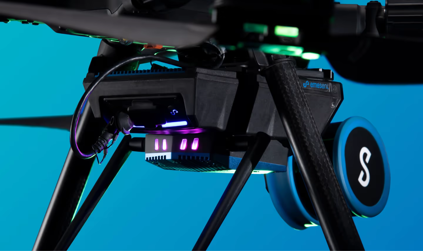
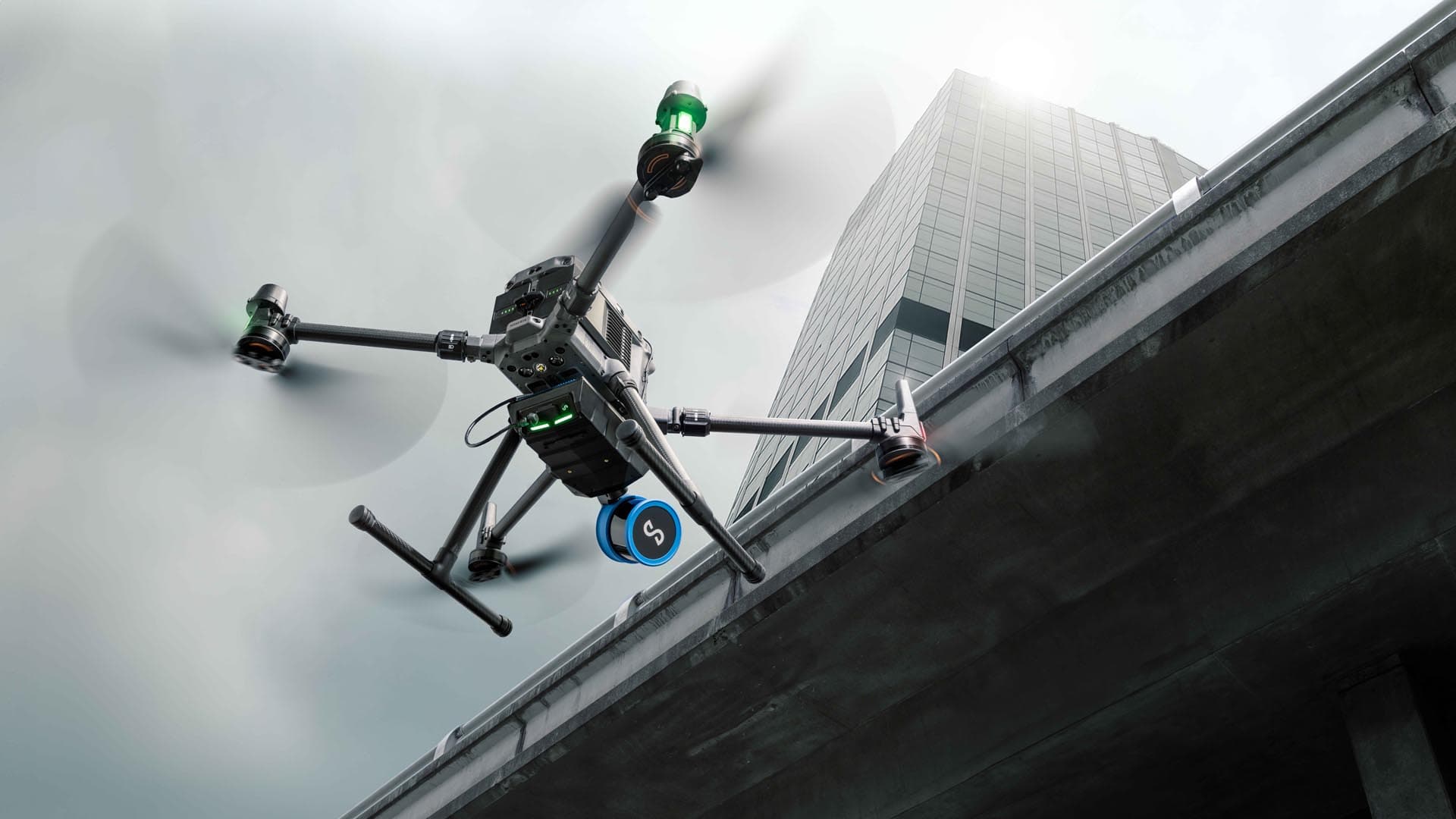
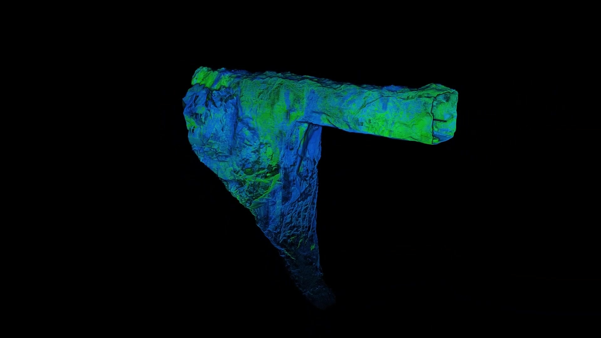
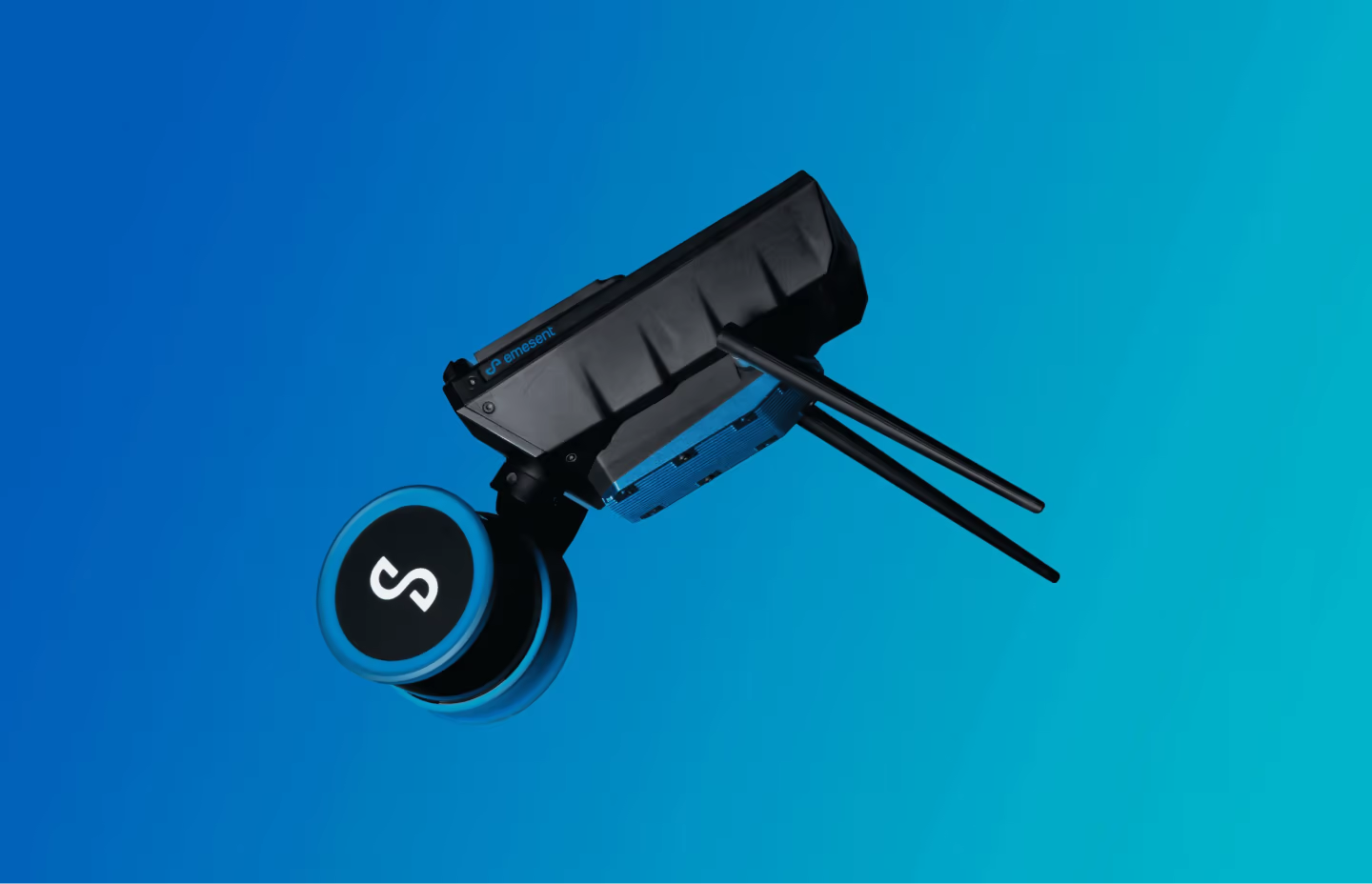
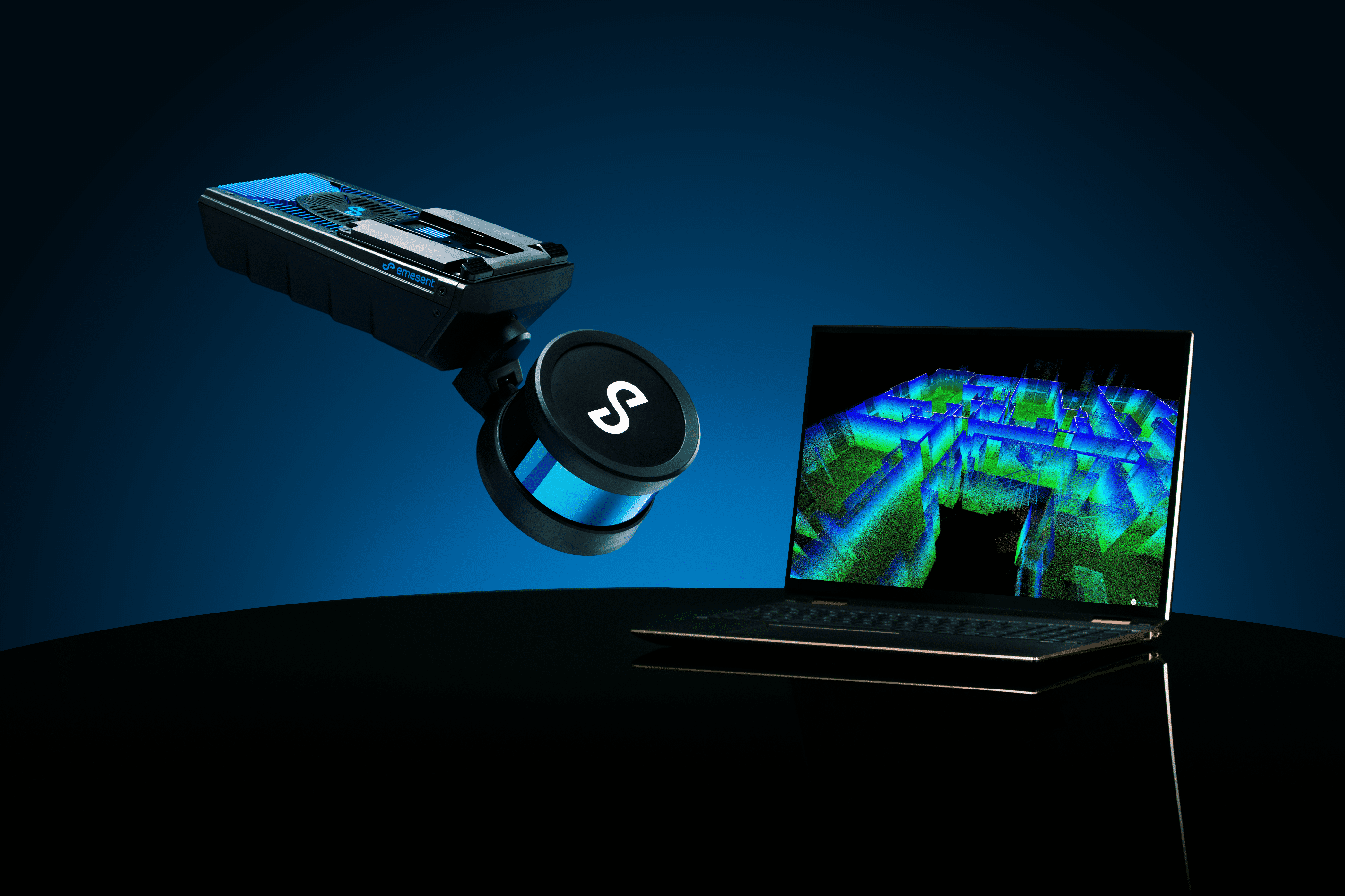
Hovermap collects detailed, accurate and georeferenced data, enabling advanced geospatial analytics and offering greater insights quickly. Featuring unique – and industry leading – versatility, Hovermap can be deployed via drone, backpack, or handheld modes, enabling data capture across multiple and typically challenging environments.
Emesent Automated Ground Control Points for drone deployment increase accuracy and can eliminate drift and slip. Automated georeferencing and streamlined workflows accelerate efficiency, from scan to output, by removing manual and potentially error-prone tasks.
AWARD WINNING SOLUTION


USE HOVERMAP IN GEOSPATIAL FOR
MOBILE MAPPING
SLAM-based mobile mapping provides exceptional mobility, allowing you to traverse quickly through a site to capture the data with a handheld scan. Hovermap also gives you the ability to capture more difficult or dangerous areas from the air by mounting it to a drone.
MAPPING IN MORE AREAS
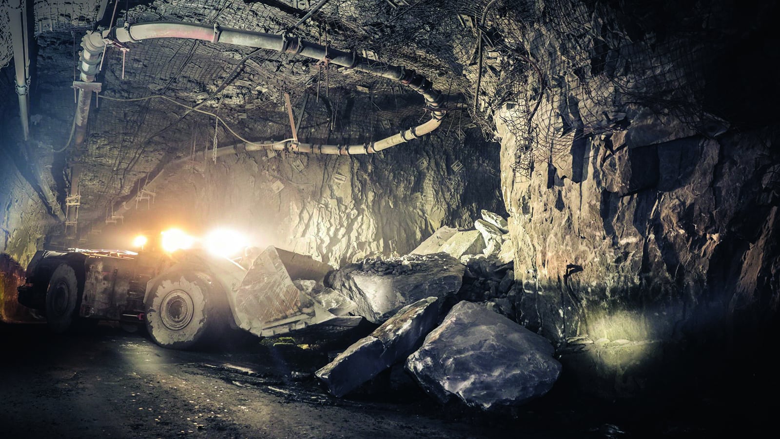
Get accurate reality capture, even in small, tight, dark, or GPS-denied areas. Hovermap’s range of accessories and IP65 rating gives you the versatility and confidence to map any environment without fearing knocks, bumps, dust, rain, or extreme temperatures.
SURVEY GRADE ACCURACY
When used with Emesent’s Automated Ground Control workflow, Hovermap can provide unrivaled SLAM accuracy and survey grade point clouds. Automated georeferencing and streamlined workflows accelerate efficiency, from scan to output, by removing manual tasks.
FASTER INSIGHTS
Save time on set up, relocation, and pack down tasks with mobile mapping, compared to terrestrial scanning. Faster processing time will enable you to start manipulating the data sooner and access insights faster.
GPS-DENIED MAPPING
Hovermap’s SLAM-based mapping allows capture in GPS-denied areas without ground control. Capture tight spaces in GPS shadow, inside metal structures, or dense forestry without concern for GPS fallout.
HANDS-FREE MOBILE MAPPING
Increase personnel safety by keeping hands free while mapping forestry or areas that require handrail contact. One of Hovermap’s versatile options provides backpack-mounted scanning for easy, comfortable, hands-free mapping.
Geospatial Applications
CUSTOMERS USING HOVERMAP

