Ready, Tap, Fly
TO ACCESS THE INACCESSIBLE
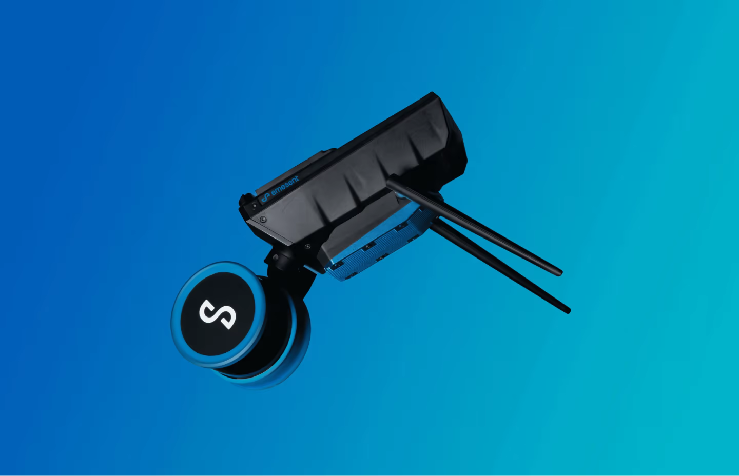
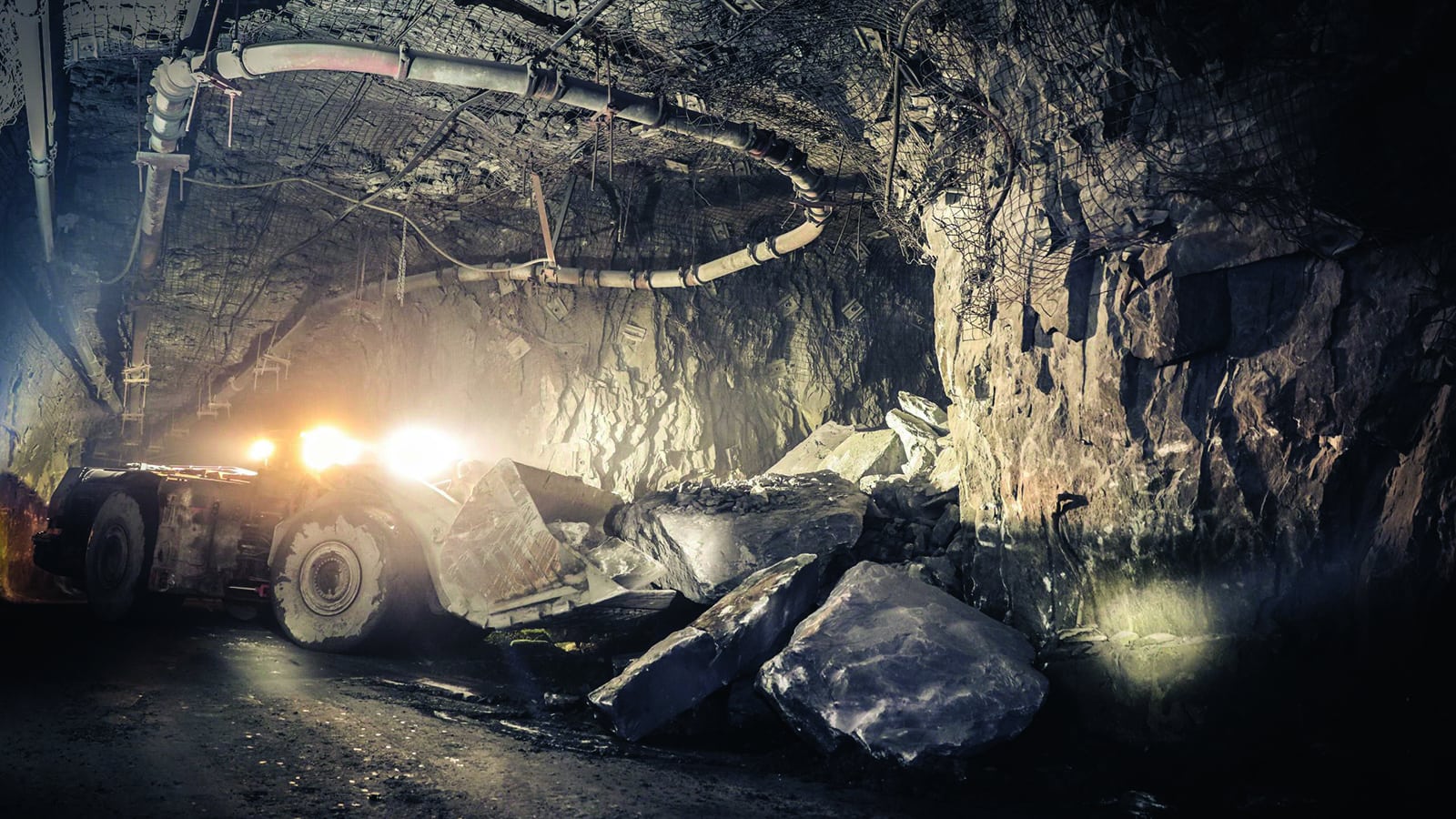
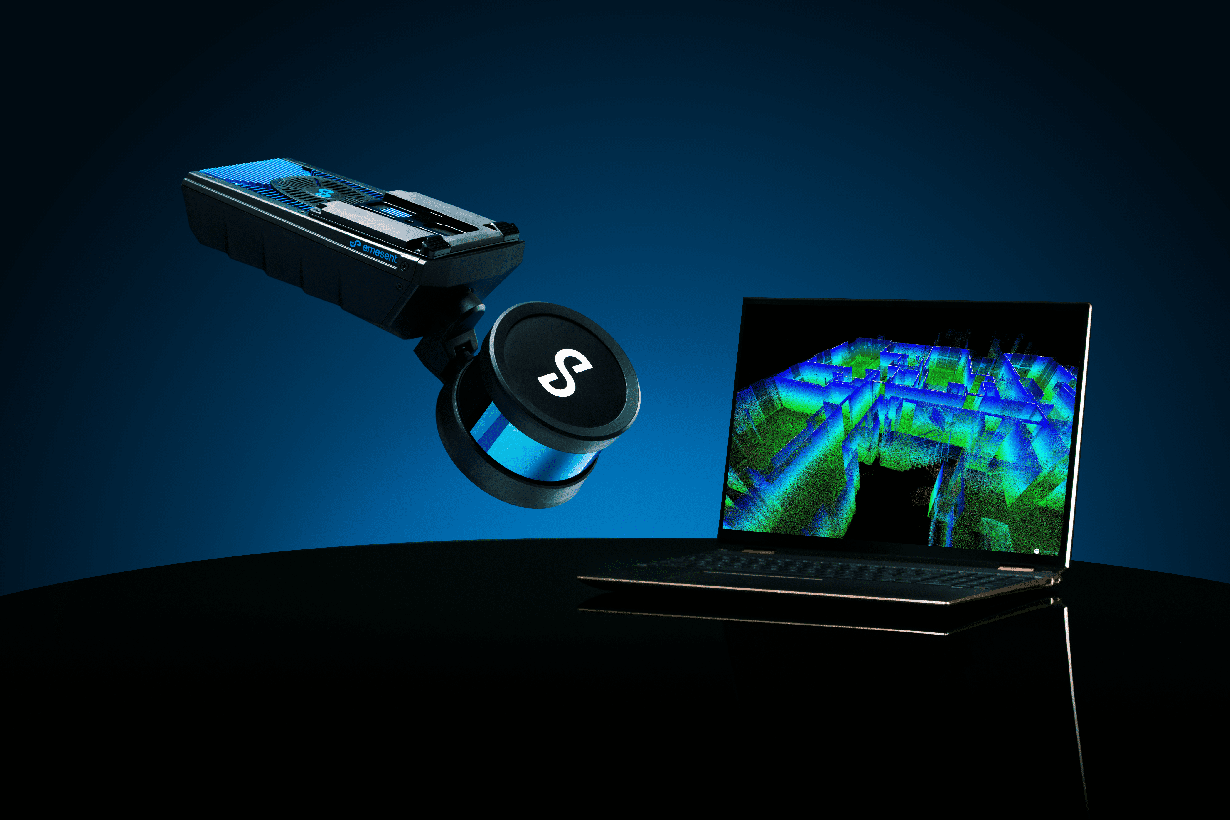
Emesent is once again raising the bar for drone autonomy with Autonomy Level 2 (AL2) for Hovermap. AL2 enables Hovermap to autonomously fly a drone beyond line of sight and communication range— even in challenging GPS-denied environments. Venture into previously inaccessible areas to capture data and deliver valuable insights.
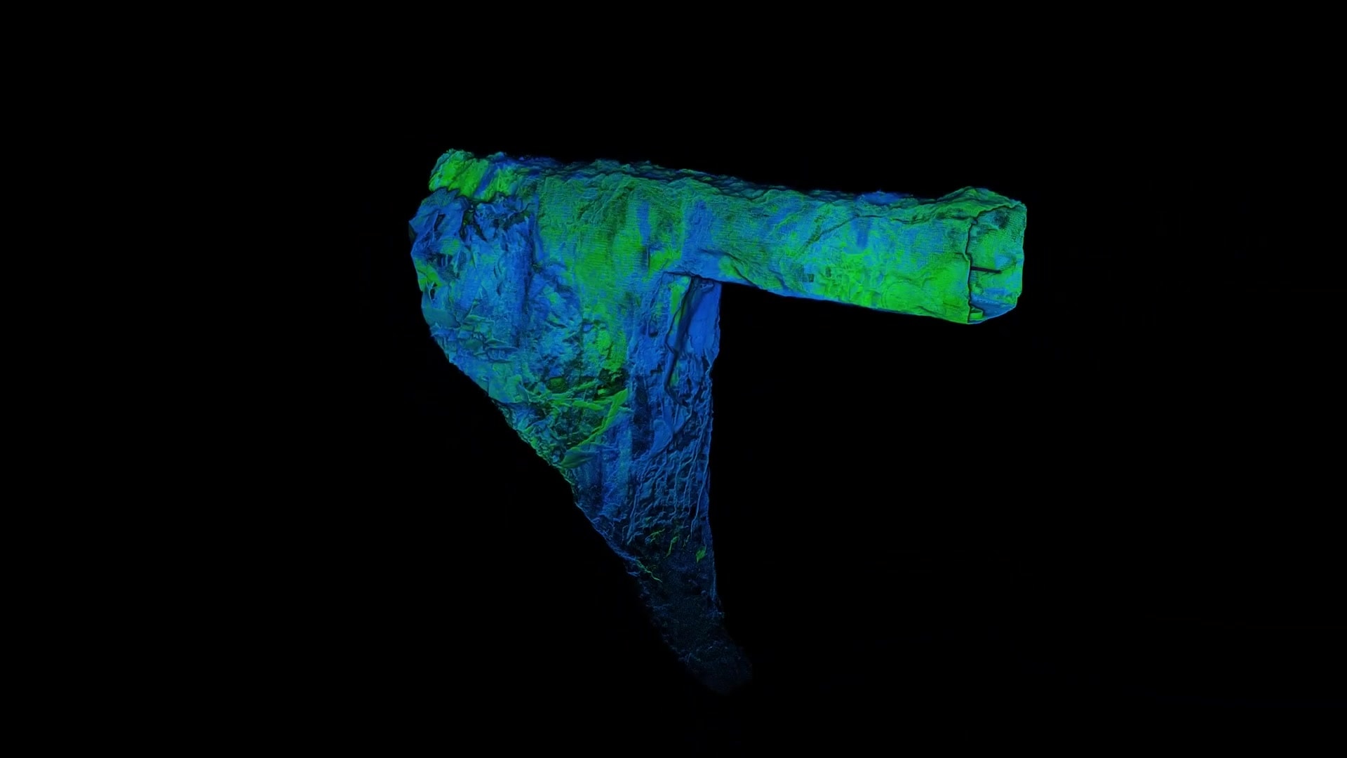
With AL2, Hovermap pilots can fly an entire mission, from takeoff to landing, using a tablet. Data is processed onboard in real-time to stream a 3D map back to the operator. Simply tap on the map to set smart waypoints , and Hovermap takes care of the rest, navigating to the waypoints while avoiding obstacles.

Improved Safety
Greater Insights
Productivity & Efficiency
Cost & Time Saving
“AL2 is a game changer for us. It takes Hovermap into places that even the most experienced pilots would fear to venture, enabling us to obtain critical data in real-time without risking the machine. We’re already seeing great benefits to our workflow and operational efficiency from using the new technology.”
ANDREW ROUSE, CHIEF TECHNOLOGY OFFICER
PYBAR Mining Services
Step 1. Arm
Step 2. Take Off
Step 3. Add Way Points
Step 4. Return to home
Step 5. Land
Collision Avoidance
Combined with Hovermap’s Virtual Shield technology, AL2 guides a drone into places that even the most experienced pilots would fear to venture. AL2’s ability to navigate safely through tight openings is unparalleled.

Dust Proof

Wire Detection
Fly Beyond Comms Range
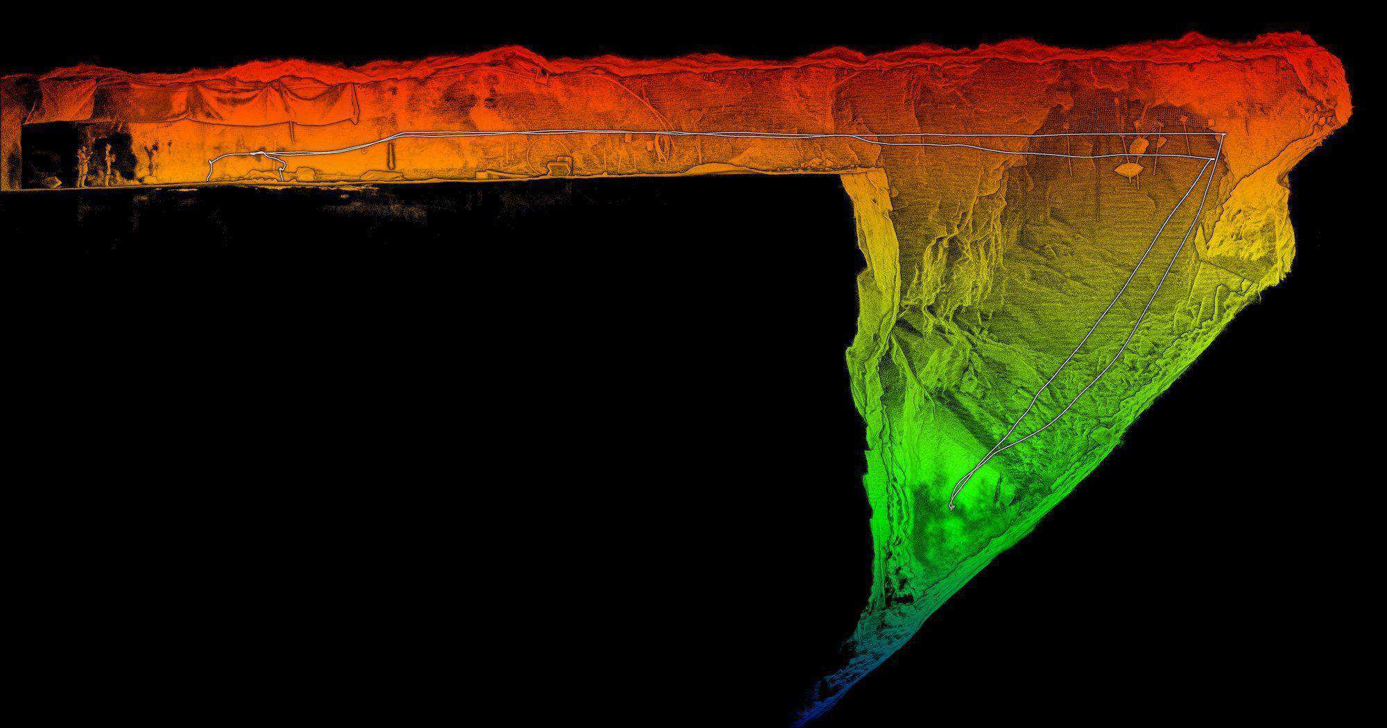
Unprecedented Insights
Fly further than ever before and capture unprecedented insights to make confident assessments of your assets.
Tap-to-Fly
Tap on the 3D map to set 2D, 3D or planar Smart Waypoints. Hovermap finds a safe route to the waypoint while avoiding obstacles. Set a waypoint beyond the current map extents and Hovermap will explore autonomously towards the waypoint using Guided Exploration. It will continue beyond line of sight and communication range until reaching the waypoint and then return to home.
Improved Pilot Experience
Real Time Point Clouds

Hovermap AL2 + M300
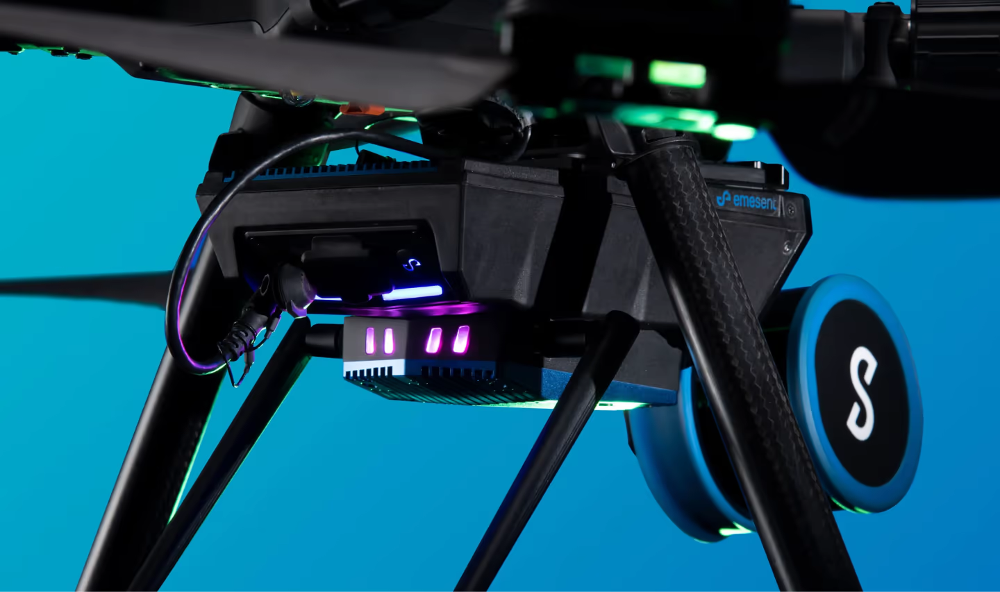
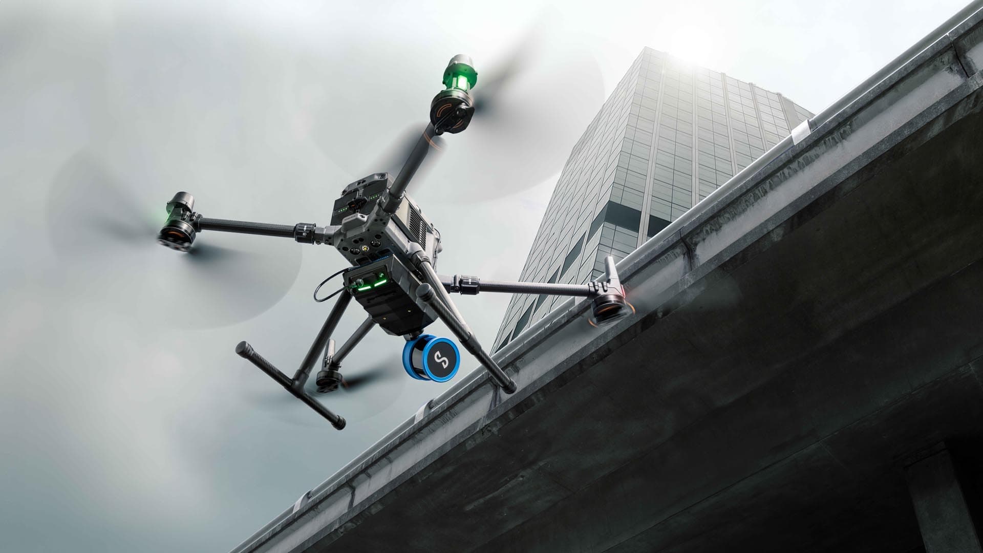
Hovermap AL2 allows DJI M300 users to extend the capabilities of the drone significantly, providing robust collision avoidance and accurate mapping. It also enables users to fly safely in GPS-denied environments, such as underground mines, tunnels, vertical shafts, indoors, and under ports and bridges.
The Hovermap-enhanced M300 is ideal for organizations working in challenging environments and needing smart, robust technology to help them collect accurate data for a range of purposes.
Find out more
Want to speak to someone about AL2 or book a demo? Get in touch with our team of experts who can assist you.


