Capturing Accurate Data from Airports, Subways & Warehouses
How Qntfi are leveraging Hovermap’s versatility to save their customers time and money
Qntfi Inc is a New York state based organization that is dedicated to helping companies extract meaningful information from raw data to enable them to make the right decisions. They do this by supplying tech-based solutions that are intuitive, effective, and economical.
The Qntfi team has more than 25 years experience in LiDAR, remote sensing, engineering project management, and business entrepreneurship.
Founder and President of Qntfi, Bill Gutelius, talked with us about how he discovered Hovermap and how it’s improving the workflow for his customers.

How did you first come across Hovermap?
We were already in the LiDAR industry and ran into Farid and Stefan at a conference. I saw the technology and thought ‘Wow! That is a game changer. That is the next level up of where SLAM is going.’
After a few years and the product had been developed further, we saw the accuracy of Hovermap, the results, and some of the sophisticated outputs that were available and became the first distributor in the United States for Emesent.
How does Hovermap help you serve your customers?
The core problem our business is solving is providing solutions for 3D measurement projects. Hovermap gives us the ability to operate with lower experience levels – you don’t have to be a super proficient pilot, especially now there is Tap-to-Fly with AL2.
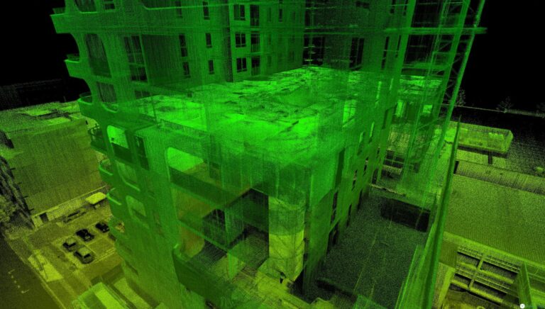
We’re getting Hovermap into the hands of people so they can have a robust and reliable system that they don’t need to be an expert to us, so they can do as-built measurements, existing conditions assessments. They can go through a built infrastructure and collect data with certainty they won’t need to revisit the site because of the 300,000 points a second of high-quality, high-accuracy data capture. Then using a software package like Point Fuse, they can from this point cloud data create meshes and render out floor plans,CAD models, and Building Information Models (BIM) models.
What are some projects that your customers have been involved with that you are most proud of or that are most notable?
I have been working on a contract with a company that worked with the National Oceanographic and Atmospheric Administration, a US Government Agency. They have a group called the National Geodetic Survey that is trying to improve airport approach procedures. They’re developing test procedures to determine if airborne LiDAR might be better than detecting obstacles in approach procedures than the typical method through cameras.
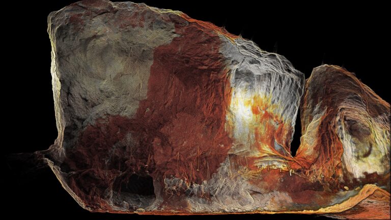
We worked with a customer who flew the Christian Science Church in Boston recently to map the dome. There’s no other way to collect the data, they couldn’t have collected it from the ground effectively, and it came out wonderfully.
We have a customer that works with the New York Subway system, monitoring the state of the tunnels and equipment in the tunnels for maintenance. He is really excited about Hovermap. He said, ‘that to stop the subway running in New York, even at two in the morning, is hundreds of thousands of dollars an hour in direct costs.’
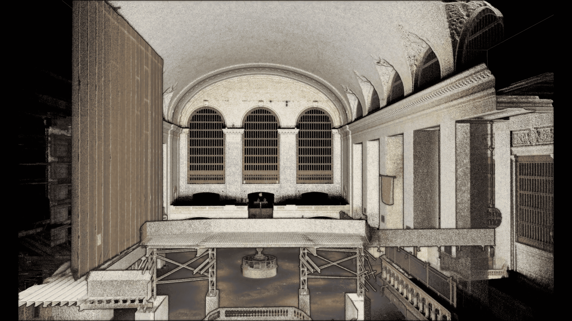
With Hovermap they can scan and collect the information they need in 15 to 20 minutes, instead of shutting the tunnel for hours, maybe even a whole day. He believes he can collect most of what he needs without causing a significant delay in the train schedule. With the scan, they can go in and get a 3D situational awareness, including things like electrical conduit, signage, obstructions, and track conditions.
Another place we’re seeing Hovemap being put to great us is in commercial real estate, measuring empty warehouses. In Manhattan, these commercial spaces can cost hundreds, if not thousands, of dollars a square foot. If you’re selling and you miss 10 or 20 square feet, that’s thousands of dollars, maybe more, so you want to have a very accurate assessment of what’s changing hands in a commercial real estate exchange. Warehouse owners are taking advantage of the empty properties right now (caused by COVID), to go in with Hovermap and fly the space to measure their layouts and generate 3D models of the property and BIM models for maintenance or upgrade.
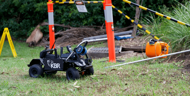
We’ve also got customers who are scanning ships and salt mines. We’ve got engineering customers that attach it to UTVs or ATVs and one group that’s put it on a boat and scanned the shoreline. They’re doing a lot with the harbor map, I think our customers are really finding satisfaction with the versatility of the scan.
Any final thoughts?
I love working with the team at Emesent. There are just some really smart people there. It kind of validates my initial gut feel when I saw them four and a half years ago and thought ‘this is definitely a technology we want to be involved with’
