
Hovermap’s versatility allows an Australian university to capture a historic building inside and out using only one scanner
Queensland University of Technology (QUT) is home to a number of cutting-edge research facilities that place it at the forefront of technology and innovation in Australia.
QUT’s Research Engineering Facility (REF) is one of them, providing high tech engineering and technology services to academic, industry, and government partners. Among its services, REF owns and operates a fleet of Remotely Piloted Aircraft Systems to support various projects with sensor integration, data capture, data processing, and analytics.
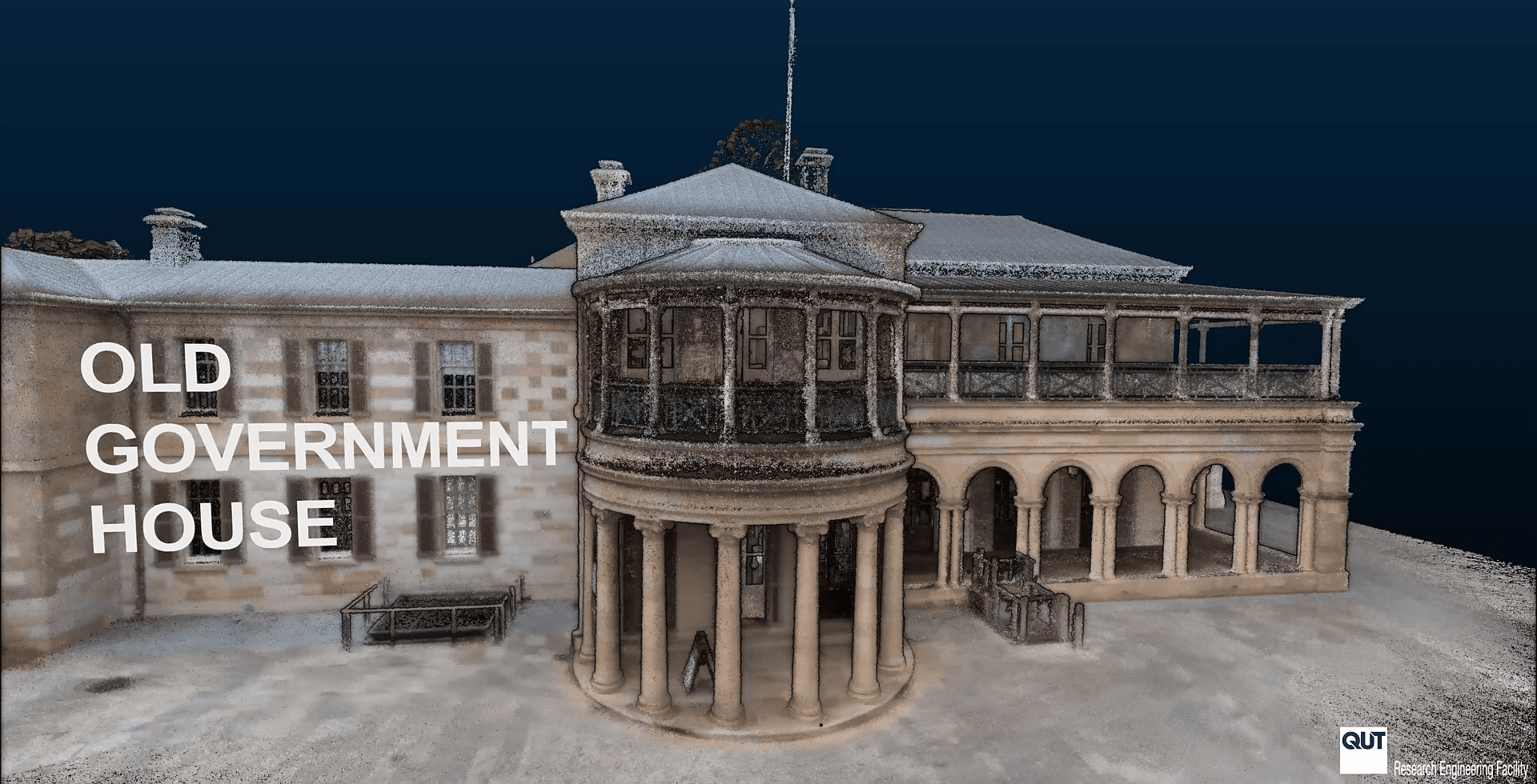
To showcase REF team expertise in remote sensing, REF Senior Research Engineer Dr Dmitry Bratanov collaborated with aerial robotics researcher Professor Felipe Gonzalez to generate an interactive and accurate spatial model of the Old Government House situated at QUT.
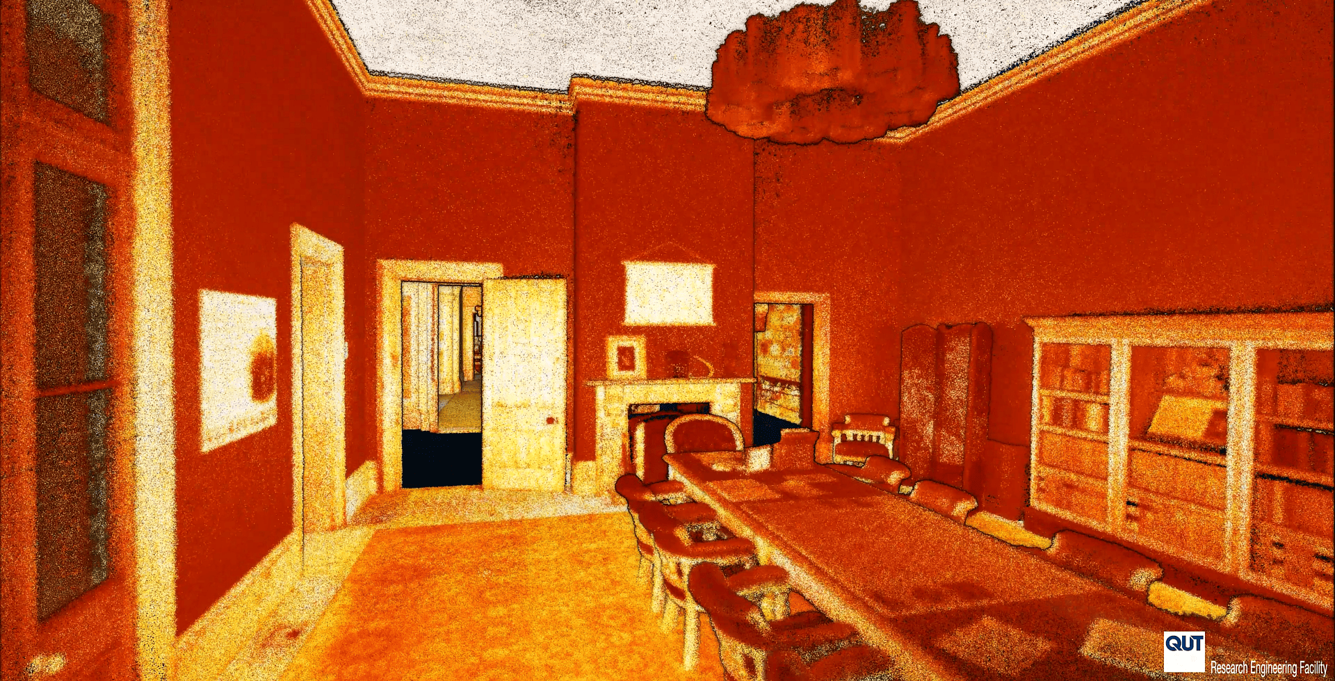
Merging the airborne and walking scan was effective. Dr Bratanov processed, merged, and colorized the three scans with Emesent software, then used Cloud Compare and Agisoft Metashape to filter and create a clean point cloud. This was then animated using Adobe Premiere and AfterEffects to create a video visualization.
Researchers led by Prof Gonzalez were then able to use the prepared, clean point cloud in CAD tools such as PointCab to create a floorplan of each level of the building and PointFuse to create a mesh.
The data captured through laser scanning of heritage buildings offers a wealth of benefits to custodians, historians, and researchers. Establishing an accurate, complete digital map of Old Government House will allow QUT to record changes that have been made to the building over the years and document the details of structural elements and architectural features. The record can also be used to identify the locations of important objects and photographs for insurance purposes and to monitor the condition of the building in years to come.
With Hovermap in their large research infrastructure toolbox, the REF team has everything it needs to help QUT researchers preserve the past and prepare for the future.