Emesent signs new partnership agreements with two large-scale technologies companies in the US
As part of its commitment to provide the best possible customer experience in the US market, Emesent is proud to announce partnership deals with two leading-edge companies, Frontier Precision and MFE Inspection Solutions. Specialists from both are sharing the unique benefits of Hovermap and how it can improve customers’ efficiencies.
Frontier Precision is a geospatial expert with over 34 years of experience serving survey, mapping, engineering, construction, GIS, and drone professionals. They are focused on providing the most innovative solutions along with the advice of expert professionals.
“At Frontier Precision, it is important to have breadth and depth within our unmanned offerings. As such, Emesent provides a unique solution that rounds out our portfolio, allowing operators of industrial assets to autonomously capture rich new data in GNSS-denied environments, as well as a technology that can be decoupled from a drone to allow users the flexibility of capturing data on foot,” said Tony Scott Vice President of Operations at Frontier Precision.
MFE Inspection Solutions is a leading NDT, RVI, Environmental, and UAV solutions provider in the Oil and Gas industry. MFE specialists partner with their customers to provide comprehensive support – from making the initial equipment choices to implementation, training, and assessment.
MFE Inspection Solutions provide the ultimate in specialized training, consulting services, equipment sales and rentals, repairs, and calibrations. They are already sharing Hovermap technology with their customers to help map or capture detailed images up close to, inside, or under bridges, oil and gas rigs, building facades, telecom towers, and much more.
“We’re excited to bring this level of technology to our customers. The versatility of Hovermap opens new doors, allowing customers to capture a wide range of data assets that will inform everyday decisions making the industry safer and smarter,” says MFE sUAS Project Manager Cody Menchaca.
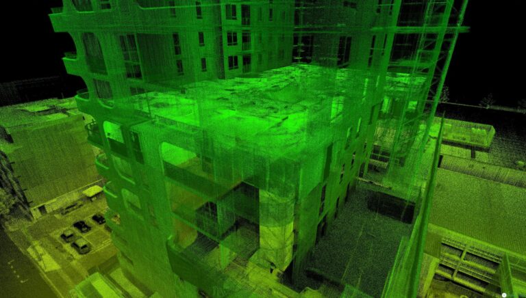
Now in its second iteration, Hovermap has gained a solid reputation for enabling the mapping and exploration of challenging and inaccessible areas since its launch in 2018. With thousands of hours of autonomous flight logged by customers, it is the most proven LiDAR mapping and autonomy solution for GPS-denied environments, such as underground areas, between highrises, or underneath bridges.
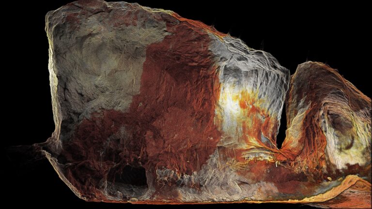
Hovermap is already used by various customers across the entire Americas, capturing everything from dam spillways or road tunnels to problematic mine stopes, as well as being used by NASA within their BRAILLE project. It was also part of the technology used by the team that placed a close second in the US Defense Advanced Research Project Agency (DARPA) SubTerranean Challenge.
“We’re looking forward to developing these partnerships to help many more customers secure the safety of their personnel and drive greater efficiencies in their operations,” said Shawn Roberts, Emesent Sales Director for the Americas.


