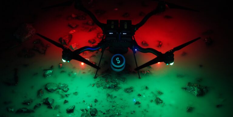
Accelerate Traditional Surveying and Mapping with Emesent Hovermap
Applications in CAD Drawings, BIM Models, and Forestry
Join us for an insightful AEC-focused webinar with Lin Trading, where we explore how Hovermap is transforming the world of surveying and modeling.
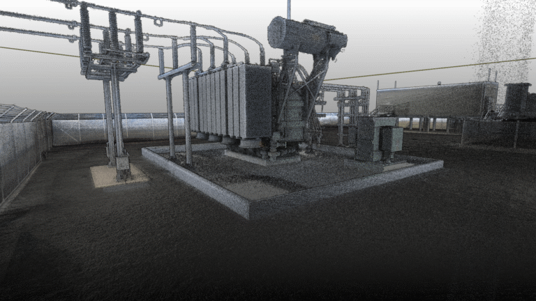
- Discover how this cutting-edge LiDAR technology accelerates the production of CAD drawings and BIM models, making traditional surveying work faster and more accurate.
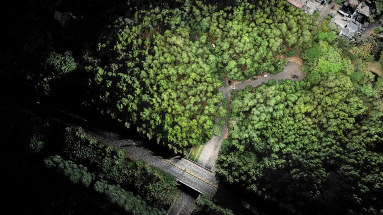
- Delve into how researchers are leveraging Hovermap to streamline daily forest survey tasks, gathering comprehensive data with ease.
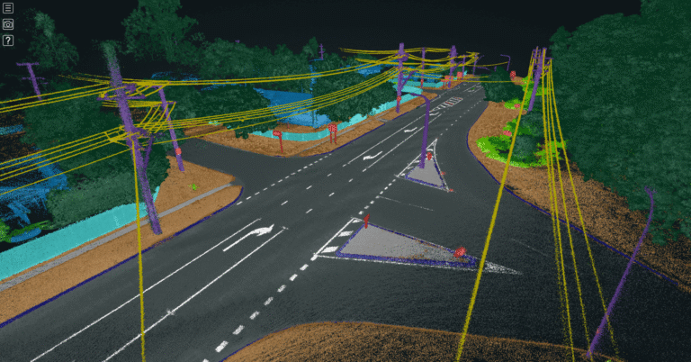
- Explore the exciting potential of applying Hovermap ST-X to HD mapping, paving the way for innovations in urban planning, autonomous navigation, and more.
Learn how Hovermap can elevate your projects to new heights!
Register now to view the recording.
Watch the recording
Related Resources