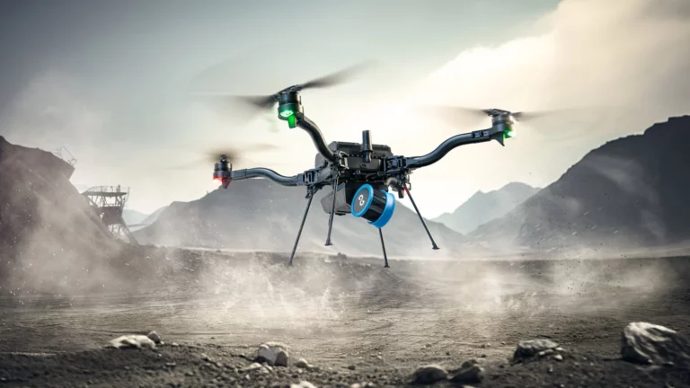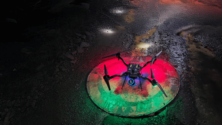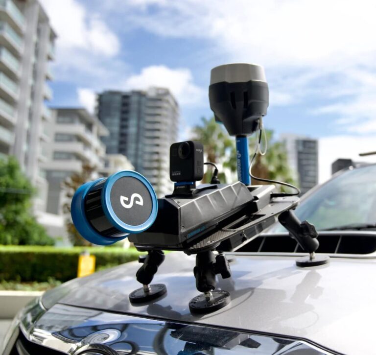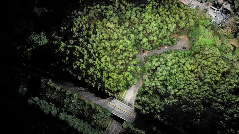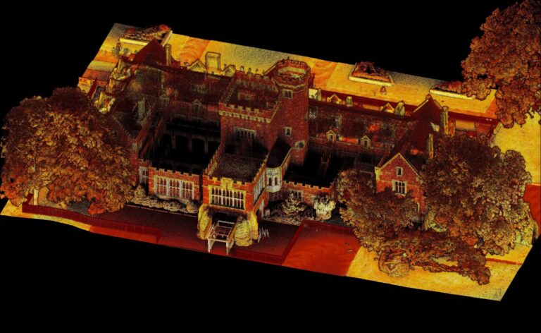
From Scan to Solution: How LiDAR is Transforming Engineering Workflows
Join Emesent and Technology Support Services as they share real-world examples of how SLAM-based scanning streamlines site assessments, infrastructure modeling, design validation, and the creation of digital twins.