-
Emesent Aura
-
Unlock the power of your Hovermap point clouds
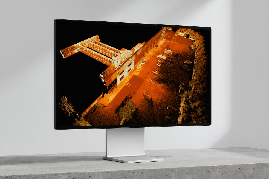
Experience the next generation Emesent Aura — the all-in-one processing and visualization platform that takes your Hovermap scans to the next level. Whether you’re capturing data via drone, handheld, backpack, vehicle, or any combination, Aura streamlines your entire workflow.
Built with the flexibility and versatility you expect from Hovermap, Aura makes point cloud processing and visualization faster and easier than ever. Powerful automation, intelligent filtering, and advanced point cloud enhancement tools deliver precise, high-quality results with speed and ease.
Transform how you process, view, and analyze point clouds — all in one powerful, intuitive platform.
Why use Aura?
-

Unlimited processing
No hidden processing fees – your license includes unlimited scans with no per square meter (sqm) usage restrictions and seamless multi-user access – anywhere, anytime, any device.
-

Automated workflows
Aura does the heavy lifting for you with smart, automated features that enhance the accuracy of your Hovermap scans and optimize SLAM results – seamlessly and efficiently.
-

Accuracy simplified
With automated georeferencing, non-rigid drift correction, and RTK-enabled precision, scans are aligned accurately with minimal manual input – for fast, high-accuracy results even in complex or GPS-denied environments.
-

Seamless flexibility
Aura lets you use your own control targets, reuse existing ones or use Emesent’s own, as well as process and visualize scans from any capture method – with the same flexibility and versatility that make Hovermap stand out.
Emesent Products
-
Transform how you process, view and analyze point clouds
Reliable, high quality processing powered by the world’s leading SLAM algorithm converts your data into highly detailed, accurate point clouds, with a range of flexible, easy to use features that improve accuracy and enhance visualization.
Optimized Accuracy
Aura takes the pain out of georeferencing with smart, automated tools that boost the accuracy of your Hovermap scans and optimize SLAM results – fast, seamless, and hassle-free.
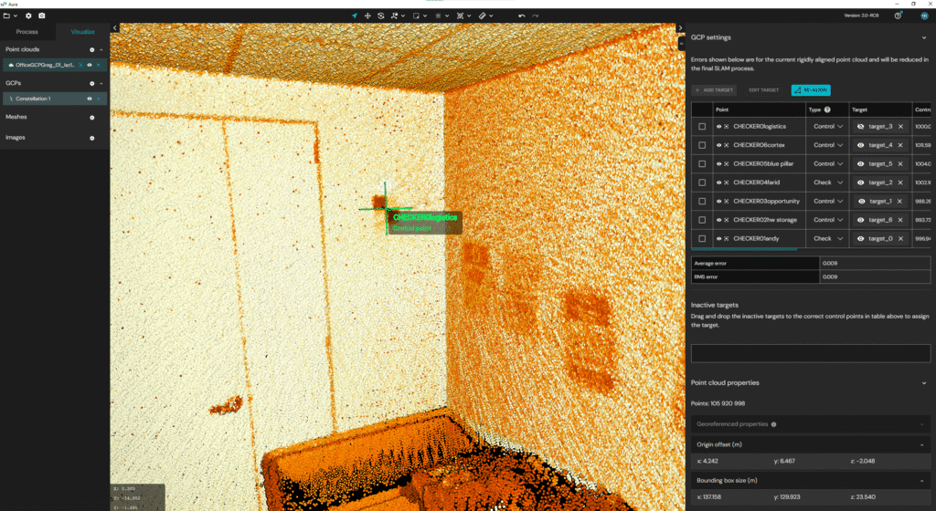
- Automated georeferencing & drift correction – No more manual GPS entry or time-consuming adjustments, saving you hours and reducing errors.
- Effortless scan alignment – Merge and align multiple scans with minimal manual intervention to create a complete, precise view.
- Non-rigid merge – Seamlessly combine multiple point clouds into one consistent, high-quality dataset.
- High-precision RTK for above-ground scans – Achieve centimeter-level accuracy at the click of a button, cutting down the need for physical ground control points and speeding up project delivery.
- Verified results – Checkpoints and error reporting let you verify every detail, while shareable accuracy reports give you and your clients full confidence in the final output.
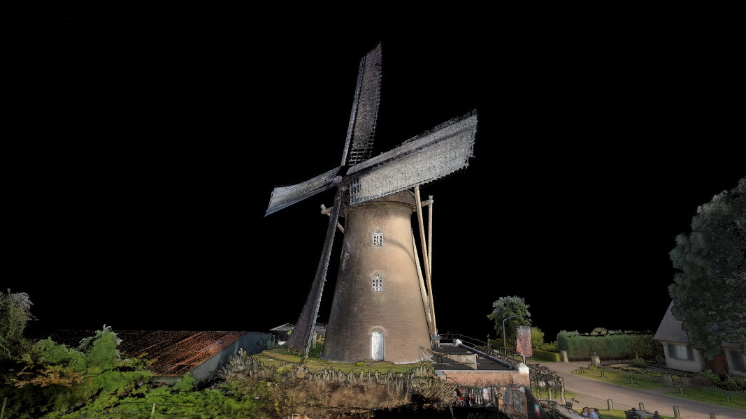
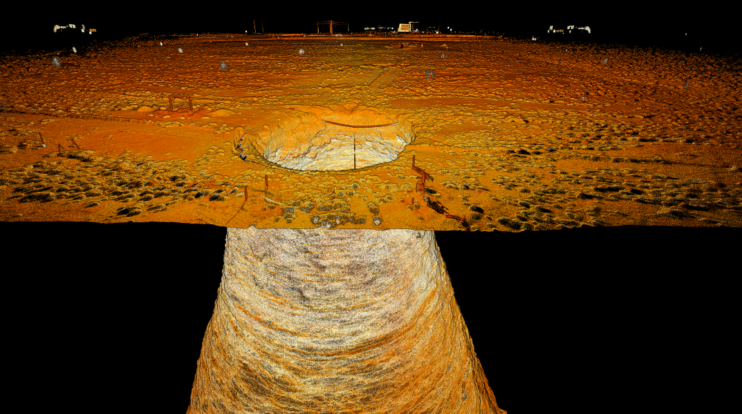
Enhanced Visualization
Bring your point clouds to life in exceptional detail with advanced visualization features that automatically clean and optimize your datasets to deliver exceptional clarity.
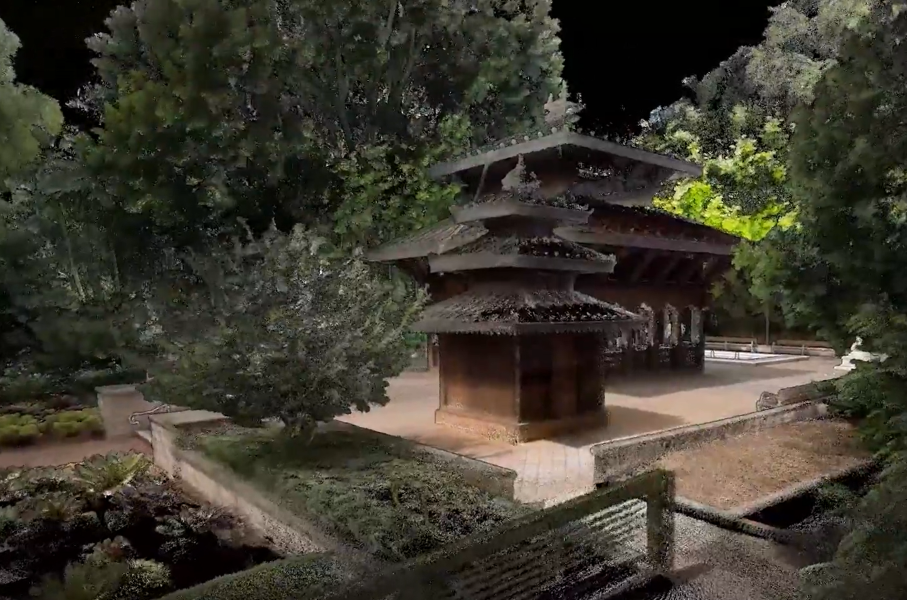
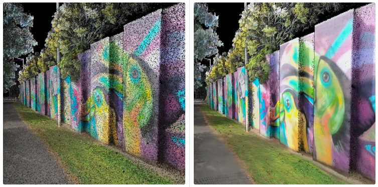
- 360° colorization* – Enhance point cloud realism with vivid, true-to-life colorization that makes interpreting scanned features effortless
- 360° panoramic images* – Seamlessly capture, register, and export immersive 360° panoramic photos for enhanced visual context and analysis
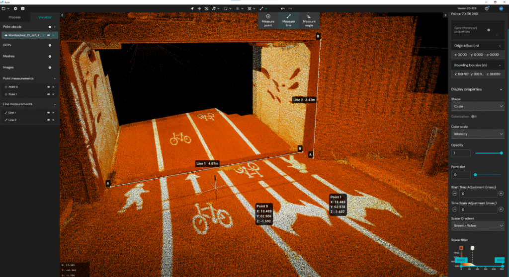
- Color scale filtering – Highlight key attributes like elevation, intensity, time and range
- Change detection and convergence monitoring – Provides a powerful tool for tracking environmental changes with ease for underground applications (optional).
- Surface noise reduction – Capture more precise workable data for CAD drawing, feature extraction and measurements. Surface noise reduction also significantly boosts colorization quality.
Flexibility to suit you
Bring your point clouds to life in exceptional detail with advanced visualization features that automatically clean and optimize your datasets to deliver exceptional clarity.
- Unlimited processing – No hidden processing fees – your license includes unlimited processing with no square meter (sqm) usage restrictions.
- Multi-user access – Allows licenses to be shared across multiple team members in different locations and on multiple devices.
- Multi-capture processing – Whether your scans are captured handheld, on a backpack, drone, vehicle, or a combination, Aura processes and visualizes your data with ease.
- Use your own targets – Choose any identifiable feature in the point cloud to speed up your workflow or add Emesent’s retroreflective targets, automatically detected to provide extra location data points.
See the full list of Aura features
-
“I found the interface to be super intuitive and the display of all control points’ error is very much appreciated.
I especially like how you can see the rigid control error before you “commit” to running the longer SLAM GCP adjustments.”
Scott HarriganPresident & Chief PilotHarkin Aerial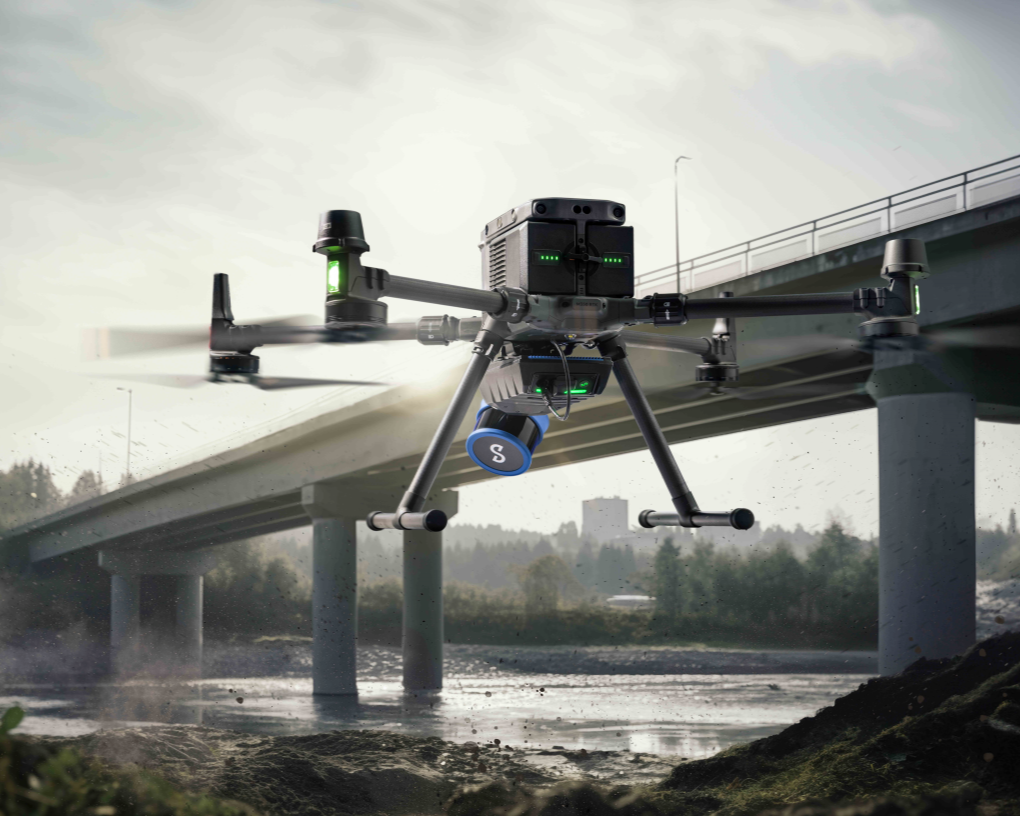
-
Frequently Asked Questions
-
-
Want to learn more?