Hovermap – Beyond just drone-based scanning

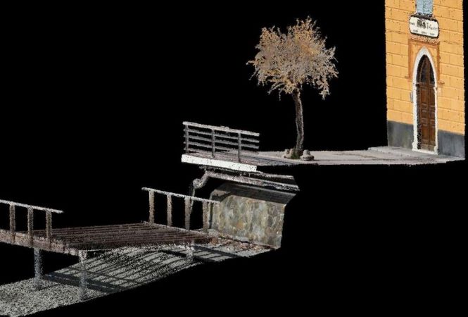
Unlock the full potential of Emesent's Hovermap system in our upcoming webinar, "Hovermap - Beyond just drone based scanning," presented by Matt MacKinnon, the pioneering Founder and Technical Operations Manager of Unmanned Aerial Services Inc.

Georeferencing accuracy with Vehicle RTK

Tune in to our latest webinar with Emesent Product Manager, Ryan Palfrey, and Senior Mechatronics Engineer, Ben Wilson, as they explore the report prepared by independent surveyor Orion Spatial Solutions testing the accuracy of Vehicle RTK.

Hovermap accuracy deep-dive

Join Emesent Co-founder and Chief Strategy Officer Dr Stefan Hrabar, as he does a deep dive into what makes Emesent Hovermap so accurate compared to other SLAM-based scanners.

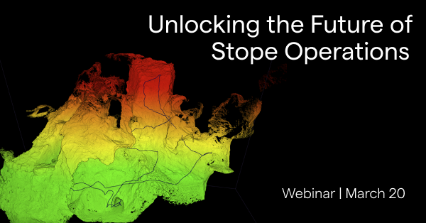
Unlocking the Future of Stope Operations

Join us for an exclusive webinar where we unveil the latest advancements in Emesent's Cortex autonomy and stope solution. Find out how our solutions are making stope insights faster, safer, and more efficient than ever before, enabling even the most challenging missions that were once impossible.

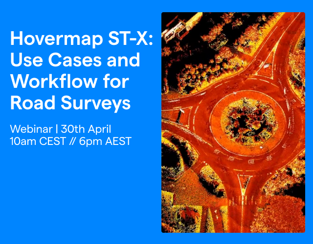
Hovermap ST-X: Use Cases and Workflow for Road Surveys

Join Emesent partner Escadrone in this practical and insightful webinar in which the team share their expertise using Emesent Hovermap ST-X for a road survey. From data capture to the production of actionable results, Escadrone will highlight the key benefits for surveyors and explain the workflows involved.