-
Handheld 360° Image Kit for Hovermap
-


Augment Hovermap point cloud scans
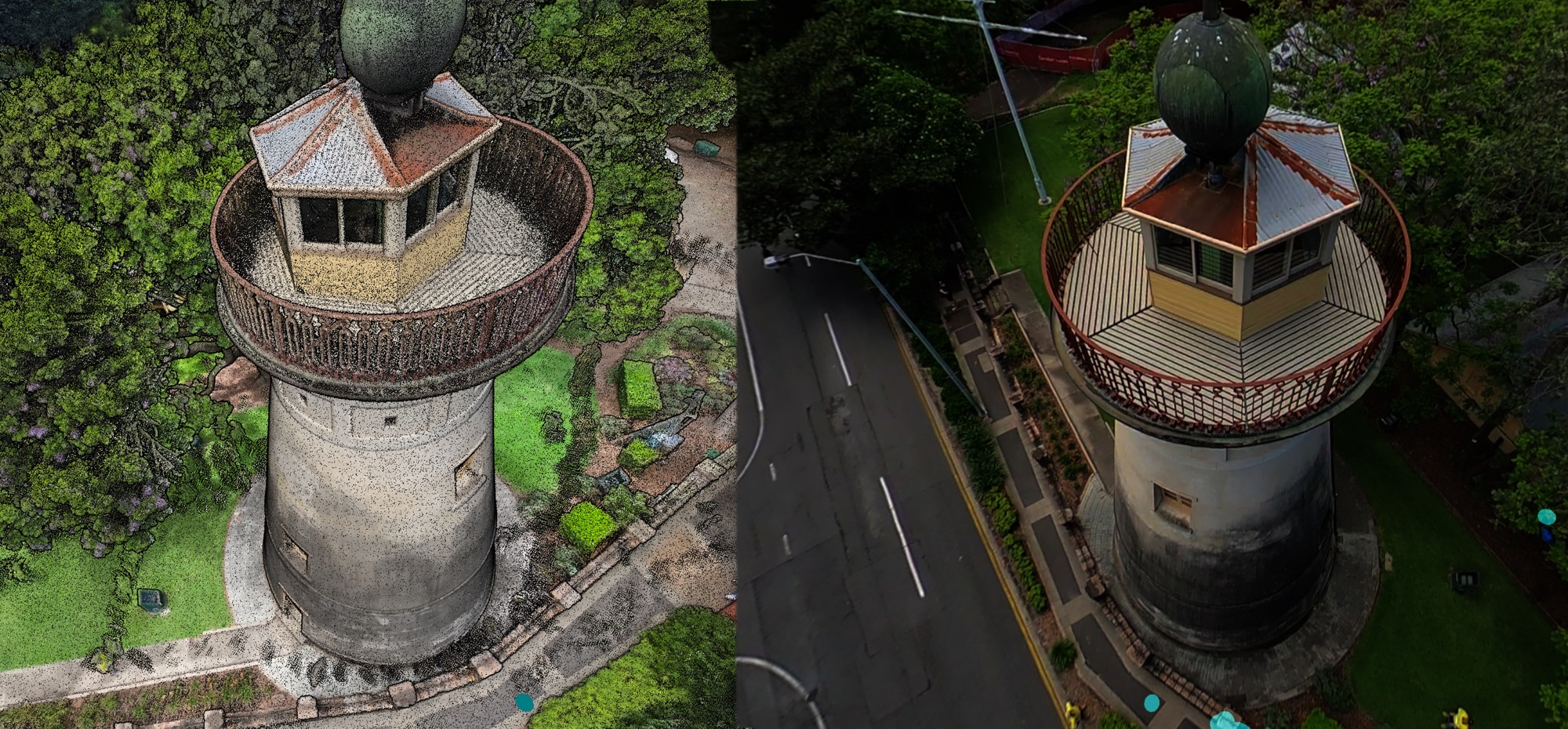
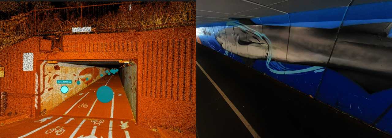
Augment your Hovermap point cloud scans with 360° panoramic imagery to add extra contextual information and derive new insights. The 360° camera attaches directly to the Hovermap unit and is designed to comfortably hold in one hand, enabling easy capture of panoramic images and 3D LiDAR data at the same time.
During processing in Aura, the 360 images are automatically registered to the point cloud without the need for calibration, streamlining workflows. The aligned images and LiDAR point cloud data can then be displayed in Aura or exported into third-party platforms including Pointerra, Cintoo, Bentley, and Prevu3D.
Benefit from:
-

Accelerated workflow
Accelerated workflow with streamlined registration and export of 360 photography that has been captured alongside Hovermap.
-

Realistic context
Adding realistic context to your point clouds.
-

Aid understanding
Bringing your point cloud to life and aiding understanding for non expert stakeholders.
-

Improved collaboration
Improved workflow efficiencies by facilitating a seamless handover between the surveyor capturing the data and draftsperson creating the models – without the queries.
Where to use the Handheld 360 Image Kit
What’s in the Kit?
Emesent Products
-
Testimonial
“360 image extraction was really easy in Aura. I have been getting excellent results! I’m pretty blown away at how accurate the image locations are. This is a great bit of kit and really plays to the modular strength of Hovermap.”
Scott HarriganPresidentHarkin
-
Features
-
Automated registration
360 images automatically appear in the correct location on the point cloud ready for visualization.
-
No calibration required
Aura automatically selects and applies the correct orientation settings for use with the telescopic mount.
-
Image masking
Option to mask out the operator using a default mask, or create your own.
-
Supports custom hardware mounts
Use the same 360 camera on your own custom mount on other platforms such as a vehicle or drone.
-
Orientation override
Override the default when the camera is custom-mounted to ensure images are correctly registered during processing.
-
Configurable extract frequency
Configure how frequently the image is extracted from the 360 video.
-
One-handed data capture
Comfortably hold and operate the combined Hovermap and 360 camera unit with one hand.
-
Unobstructed data capture
Minimized image obstruction by people and equipment.
-
-
Frequently Asked Questions
-
-
Want to learn more?
