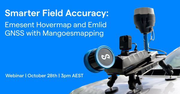
Smarter Field Accuracy: Emesent Hovermap + Emlid GNSS with Mangoesmapping
Join Emesent and Mangoesmapping as we showcase how RTK-enabled LiDAR and GNSS are transforming infrastructure and construction projects.
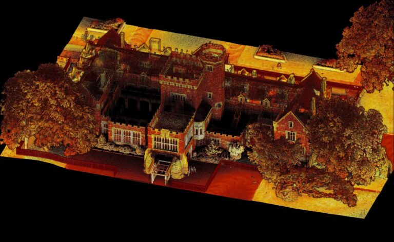
Learn how Australian teams are adopting Emesent Hovermap systems with Emlid GNSS receivers to capture accurate data, streamline workflows, and reduce project costs.
You’ll also discover the:
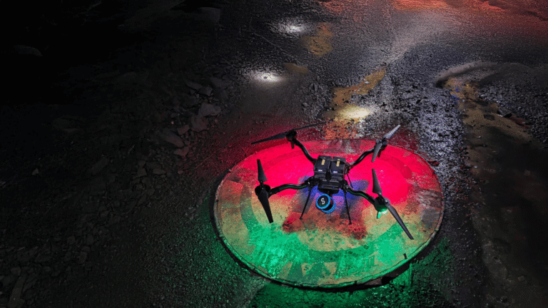
- Versatility of Emesent Hovermap
- Emesent Hovermap and Emlid applications in AEC (construction as-built and topography solutions)
- Benefits of RTK-enabled LiDAR and GNSS in the field
- Affordable centimetre-level accuracy with Emlid GNSS
- Real-world Australian case studies
- Practical implementation insights
Register now to watch the recording!
Related Resources