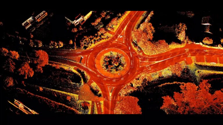
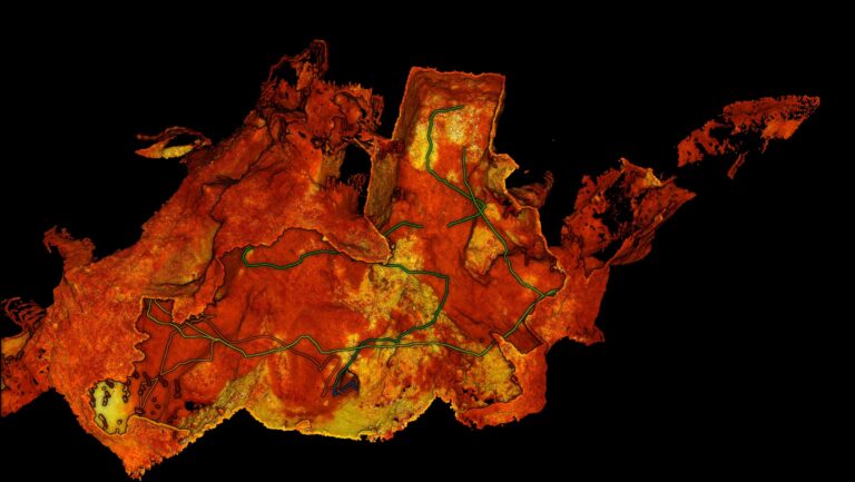
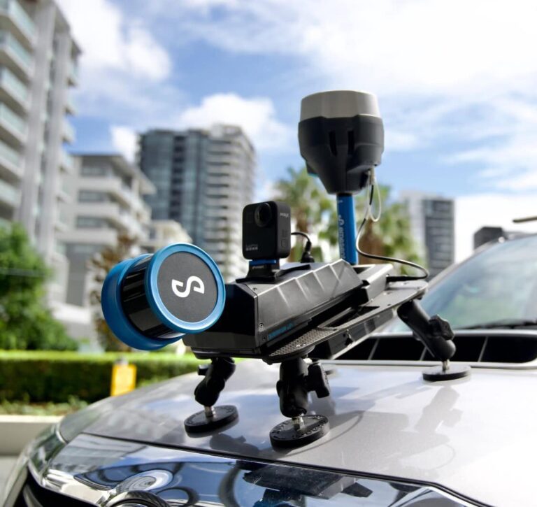
From Hospital to Forest: Unlocking deeper insights through faster reality capture
Hovermap users BIM Manufacture share 3 real-world projects showcasing the speed, flexibility, and accuracy of Emesent Hovermap and hybrid scanning techniques.
AirborneLogic presents case studies on how they use the Emesent Hovermap ST-X to accurately measure trees, carbon and biodiversity in an effort to quantify natural capital and help regenerate our environment.
Russian-language webinar: Meet Micromine, a mining software company that provides Hovermap-integrated solutions for the exploration, modeling, design, and operation of mining projects and highlights the value of LiDAR integration for underground surveying.
From overhead powerlines, substations and transformers, to buried cables and renewable assets, in this webinar with Gridvision we explore how Emesent Hovermap fills the critical gaps left by traditional aerial surveys.
Join Emesent and Reflektar for this webinar and learn how Reflektar’s AI technology and Cloud-Based GIS Platform could help you realize the full potential of your point clouds.
Join us and partner qAIRa for a closer look at how Emesent Hovermap is transforming 3D data capture in modern open-pit and underground mining operations.
In this practical webinar, Emesent partner EscaDrone share their expertise in using Hovermap ST-X for road survey project. Learn about the benefits and understand the workflow for surveyors in the field.
In this webinar recording we unveil advancements in Emesent’s autonomous mapping capabilities – powered by the latest release of Emesent Cortex and Emesent’s mission control app Commander. This session showcases how our solutions are bringing stope insights faster, safer, and more efficiently than ever before, enabling even the most challenging, previously impossible missions.
Join us for an exclusive deep dive into the revolutionary Emesent Hovermap RTK Backpack—a game-changing tool for high-accuracy LiDAR mapping.
Join Emesent partner Dwyka Mining Services and Dwarsrivier Mine as they reveal how Hovermap’s handheld and backpack devices provided precise, real-time data for month-end measurements, plan updates, stockpile tracking, and room and pillar design, boosting productivity and improving decision-making.