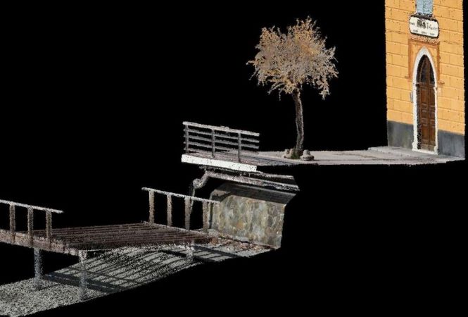
Converting Structures to Digital Twins with Hovermap

You too can build a more accurate BIM with Emesent Hovermap. Our experts from Moniterra will be exploring how they reduce time on site and capture high-quality colorized point clouds...

Mapping Alcatraz: The story behind the scans

Join Emesent's own Dr Jeremy Sofonia as he presents his first-hand experience of:

• The factors that make Alcatraz such a difficult place to map.
• How Emesent approached the challenges of capturing such a complex site.
• The role that Boston Dynamics Spot robot played in maximizing safety.
• Technical tips and tricks worth knowing for your own scanning missions.

Hovermap – Beyond just drone-based scanning

Unlock the full potential of Emesent's Hovermap system in our upcoming webinar, "Hovermap - Beyond just drone based scanning," presented by Matt MacKinnon, the pioneering Founder and Technical Operations Manager of Unmanned Aerial Services Inc.

Georeferencing accuracy with Vehicle RTK

Tune in to our latest webinar with Emesent Product Manager, Ryan Palfrey, and Senior Mechatronics Engineer, Ben Wilson, as they explore the report prepared by independent surveyor Orion Spatial Solutions testing the accuracy of Vehicle RTK.

INTERGEO 2024

Visit Emesent at booth F1.068 at this year's INTERGEO - the world's leading event for geodesy, geoinformation and land management. Join us in Stuttgart, Germany, where we'll showcase the award-winning and extremely versatile Hovermap and its autonomous SLAM-based LiDAR scanning system.

Congreso Internacional Minero 2024

Join us at this year's Congreso Internacional Minero in Hermosillo, Mexico. Emesent will be supporting our local partner Precision GPS at booth #103, showcasing Hovermap -- our versatile scanning technology that is revolutionizing underground mine operations.