Emesent Accuracy Report
Verified by independent surveyor Orion Spatial Solutions, this August 2025 report tests the accuracy of Emesent Hovermap using control points. Download the report to see the full results.

Verified by independent surveyor Orion Spatial Solutions, this August 2025 report tests the accuracy of Emesent Hovermap using control points. Download the report to see the full results.
Join Dr. Thibault Rouillard, founder of Clarity Consulting Limited, as he shares how his team use Emesent Hovermap to capture and transform data across a wide range of projects. From detailed building surveys and topographic mapping, to volume measurement and landscape design.
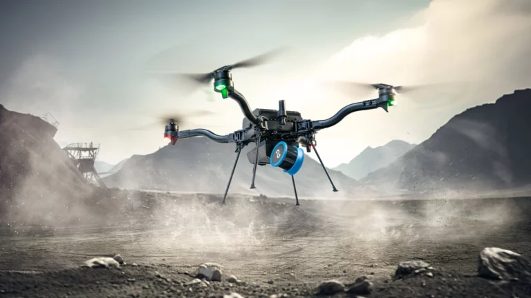
Emesent and UAS present this gripping case study on how an autonomous Hovermap exploration mission was launched underground to achieve complete 3D mapping for emergency response in just 48 hours.
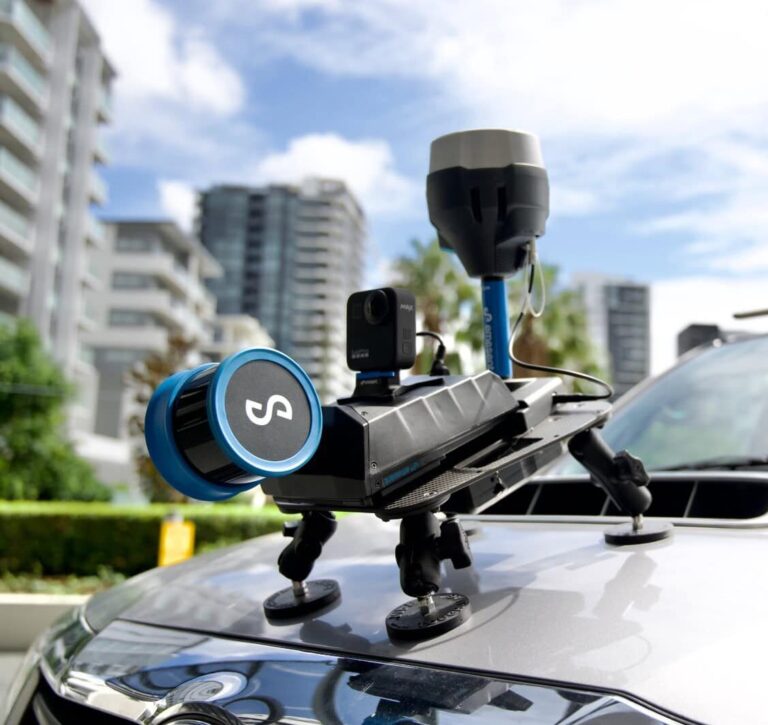
Join Emesent and Mangoesmapping for an online session showcasing how RTK-enabled LiDAR and GNSS are transforming infrastructure and construction projects. We’ll highlight how Australian teams are adopting Emesent Hovermap systems with Emlid GNSS receivers to capture accurate data, streamline workflows, and reduce project costs.

Hovermap users BIM Manufacture share 3 real-world projects showcasing the speed, flexibility, and accuracy of Emesent Hovermap and hybrid scanning techniques.
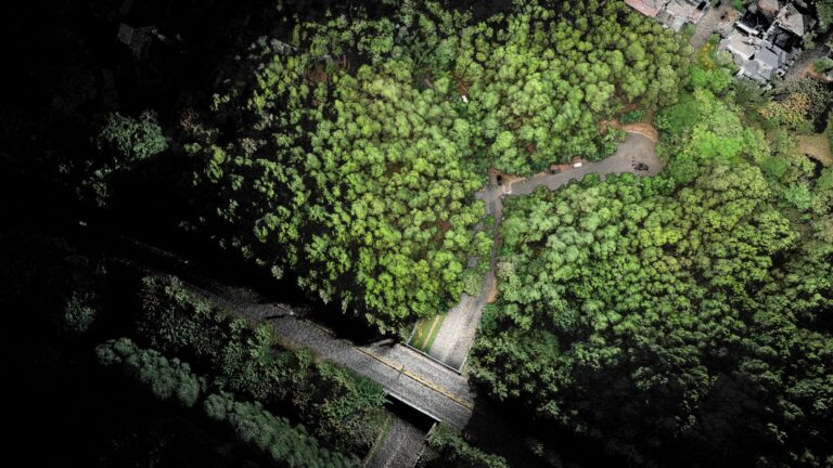
AirborneLogic presents case studies on how they use the Emesent Hovermap ST-X to accurately measure trees, carbon and biodiversity in an effort to quantify natural capital and help regenerate our environment.

Join us for an exclusive deep dive into the revolutionary Emesent Hovermap RTK Backpack—a game-changing tool for high-accuracy LiDAR mapping.

Join Lin Trading and discover how Hovermap’s cutting-edge LiDAR technology accelerates the production of CAD drawings and BIM models, making traditional surveying work faster and more accurate.


Unlock the full potential of Emesent’s Hovermap system in our webinar, “Hovermap – Beyond just drone based scanning,” presented by Matt MacKinnon, the pioneering Founder and Technical Operations Manager of Unmanned Aerial Services Inc.