Using Hovermap data in Maptek PointStudio
Capturing, processing and applying data from inaccessible areas is now easier than ever thanks to the partnership between Maptek PointStudio and Emesent Hovermap.
Capturing, processing and applying data from inaccessible areas is now easier than ever thanks to the partnership between Maptek PointStudio and Emesent Hovermap.
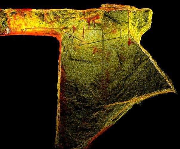
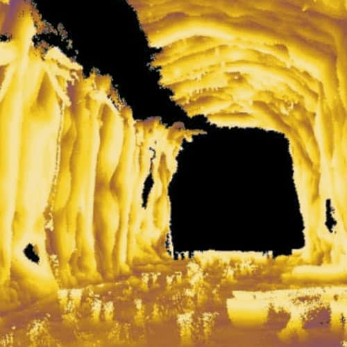
Emesent partners, Dwyka Mining Services and Unmanned Aerial Services demonstrated how to capture shadowless, uniform, high resolution data for geotechs, mine engineers and geology at Kibali by flying a 150m high stope.