See more.
Know more.
Act now.
Emesent helps businesses map the unknown, minimizing
operational downtime while improving worker safety.
AI-powered autonomous mapping in GPS-denied environments
Emesent is a pioneer in Physical AI, the convergence of artificial intelligence, autonomous robotics, and advanced spatial computing that enables machines to understand, navigate, and map complex real-world environments without human intervention.
Emesent excels at fast, accurate mobile mapping
Take a look at some of our latest developments.
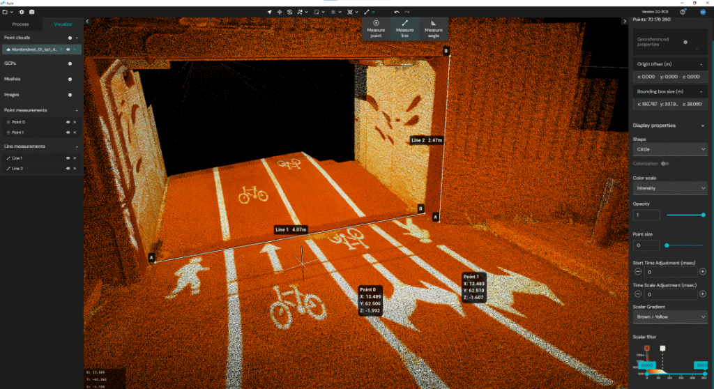
Emesent launches Aura 2.0: Extending Hovermap’s legendary versatility to improved ground control point workflows
New concurrent user licensing, user-selected targets, and enhanced accuracy validation transform how AEC and mining professionals approach LiDAR-based surveying
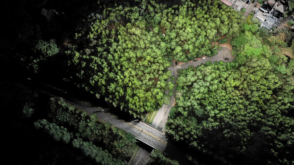
Nature’s Point Clouds – Outdoor adventures with Emesent Hovermap
Discover why Hovermap users AirborneLogic choose the Hovermap ST-X to accurately measure trees, carbon and biodiversity in an effort to quantify natural capital and help regenerate our environment.
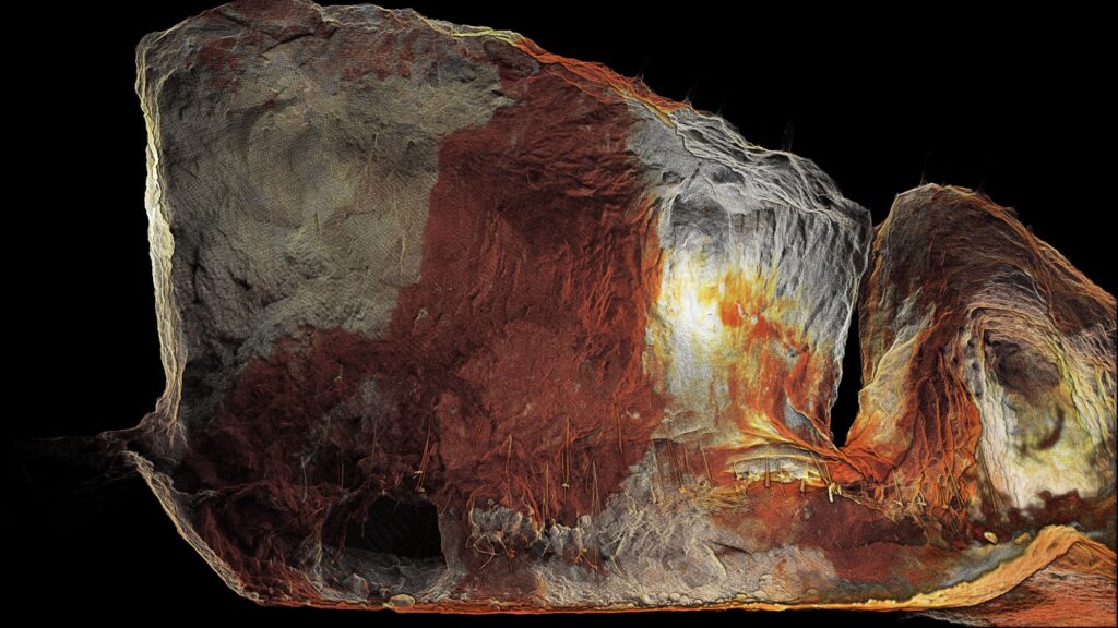
Transforming underground surveying: Fully autonomous stope mapping
Emesent’s Director of Product, Christian Skinner, outlines how the recent upgrade to Emesent Hovermap’s autonomous capabilities delivers better outcomes for underground mining operators, helping reduce risk while providing more actionable data.
Aura 2.0 – More flexibility, increased confidence
Prioritising ease of use, and even better accuracy with your scan data, the latest version of Emesent Aura gives you extra confidence in your data. Senior Product Manager Greg Davis explains how.
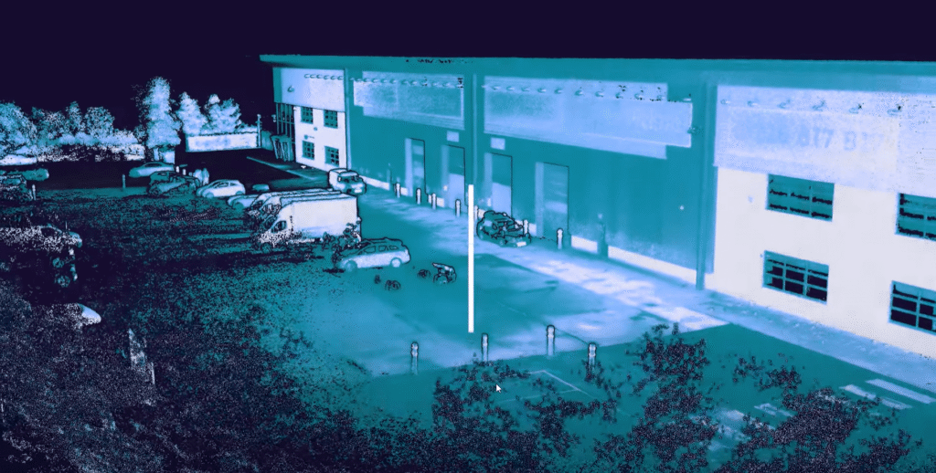
Hovermap — the versatile solution for mobile mapping
Learn more about Emesent’s award-winning Hovermap platform.

Emesent Technology
Mapping
Detailed mapping insights for hazardous and hard-to-reach environments.

Emesent Technology
Autonomy
Advanced autonomous mapping for complex mining, engineering, and public safety operations.

Emesent Technology
Versatility
Plug-and-play accessories and capability enhancing add-ons – for diverse mapping missions.
Hovermap’s many industry applications
Find out how Emesent Hovermap provides insights across a diverse range of business use cases.

Emesent Benefits
Mining
Maximize productivity and safety

Emesent Benefits
Engineering & Construction
Reduce risk and cost in AEC

Emesent Benefits
Geospatial
Quick and easy reality capture
