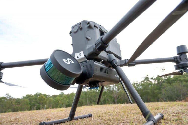
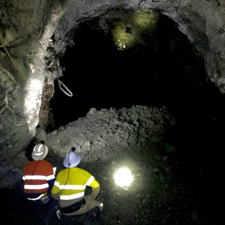
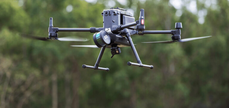
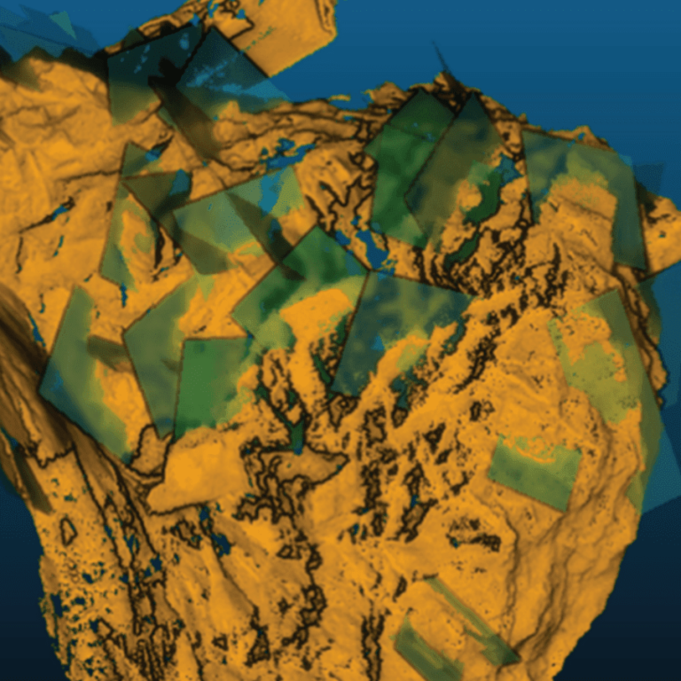
20+ Ways to Use Hovermap
Discover 20+ of Hovermap’s many data capture applications across a wide range of industries.
Unmanned Aerial Services (UAS) specializes in providing drone-based visual inspections and laser scanning of inaccessible environments—confined spaces, such as storage tanks, other hard to access areas, or in underground mines.
This paper discusses the process of acquiring and preparing drone-based LiDAR data for geomechanics and explores the spatial and structural relationship between drone data and window mapping for implementation into Olympic Dam’s future stope designs.
This paper details the background to how mobile mapping technology has been introduced into underground mining geomechanics.
Global technology company Emesent has partnered with leading software developer Deswik to enable mining companies to incorporate high quality data captured in inaccessible locations into their mine plans and surveys. Emesent is a leader in drone autonomy, LiDAR mapping, and data analytics. Founded in 2018, Emesent has since built a reputation for delivering high-quality data…
Building on Emesent’s cutting-edge Hovermap simultaneous localisation and mapping (SLAM) autonomous flight system, AL2 enables compatible drones to fly beyond communications range and venture beyond line of sight into unmapped areas.
Lightweight, easy to use and deploy, the versatile Emesent Hovermap mobile LiDAR scanner is changing the way that people think about the collection of high-resolution 3D data.
Hovermap is being used to supercharge the Matrice 300 RTK (M300) next generation industrial drone from market leading manufacturer DJI.
XM2 PURSUIT are experts in aerial cinematography for the film and television and commercial industries.
ARLINGTON, Va. — Emesent has been named as a finalist in the XCELLENCE in Innovation category of the XCELLENCE Awards by the Association for Unmanned Vehicles Systems International (AUVSI).