


支持 RTK
快速、准确、可重复的结果,可对大面积和长线性资产进行有把握的扫描,减少或消除对 GCP 的需求

自动地理参照和漂移校正
消除劳动密集型和耗时的流程

多功能部署
即插即用的设计便于在不同平台之间切换 - 手持式;连接到无人机、车辆或杆子上;放入笼子中;或安装到背包上

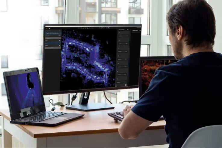
边扫描边流览
通过Commander 实现扫描环境的实时高密度可视化

360°上色与图像捕捉
为点云添加更多背景信息,并突出显示感兴趣的区域

调查等级结果
业界领先SLAM,结合自动地理参考功能,在无法使用RTK的情况下进一步提升结果精度。
软件集成
导入至标准CAD软件包,包括Autodesk Recap/Revit和Bentley Point Tools

设置和遗忘处理
自动清洁工具可清除环境中的移动物体