Case Study Category: Use Cases

9 January 2024
18 Ways 3D Lidar Scanning Drives Successful Turnarounds
Plant turnarounds, or TARs, in the oil and gas sector are highly complex and challenging operations that demand meticulous planning, precise execution, and seamless coordination. Find out more in this ebook.

9 January 2024
18 Ways 3D Lidar Scanning Drives Successful Turnarounds
Plant turnarounds, or TARs, in the oil and gas sector are highly complex and challenging operations that demand meticulous planning, precise execution, and seamless coordination. Find out more in this ebook.

9 January 2024
22 Ways 3D LiDAR Scanning Elevates Capital Project Execution Outcomes
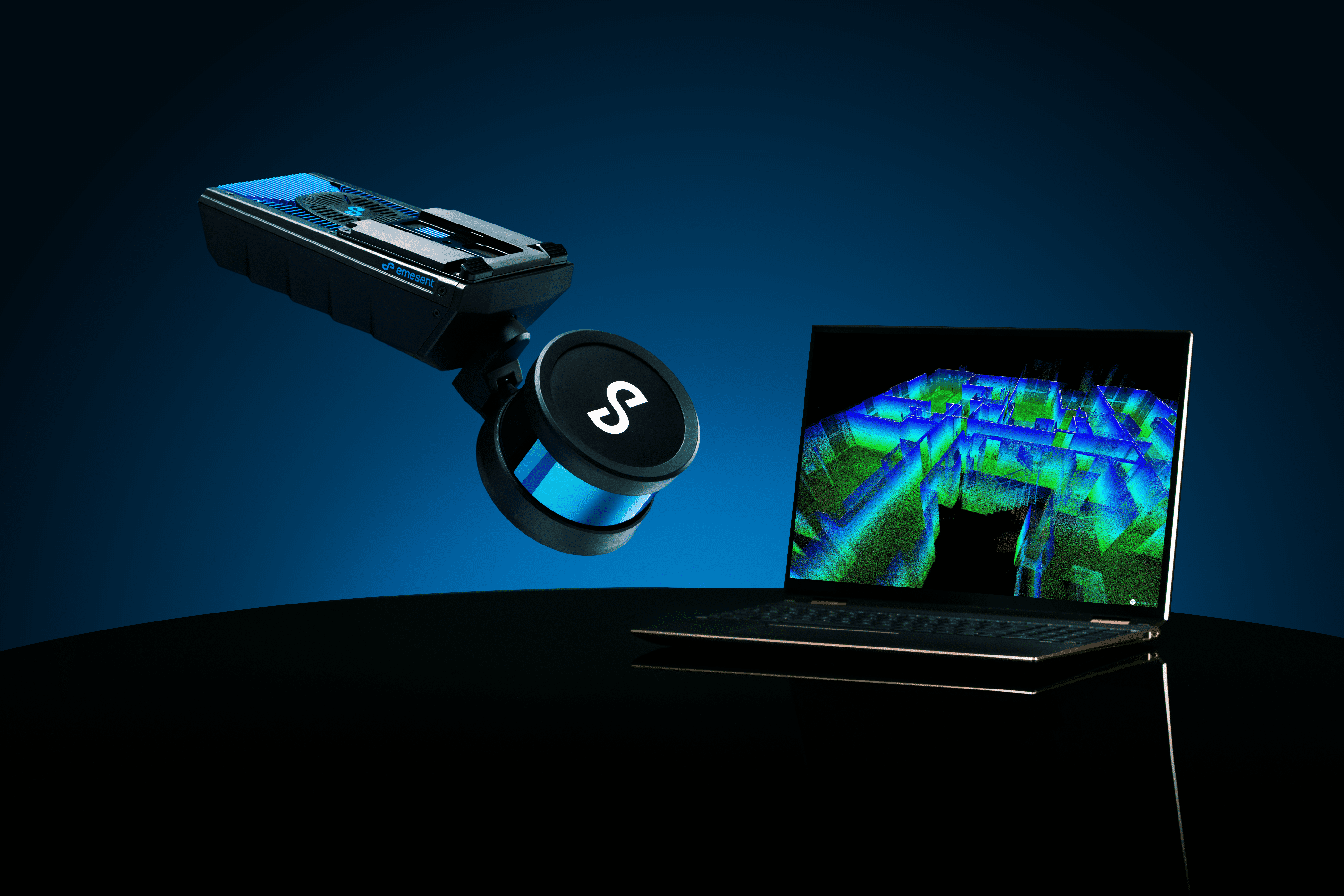
Transform your digital workflows and processes with Hovermap’s fast, accurate, versatile 3D reality capture. Learn more in our latest ebook.

5 July 2021
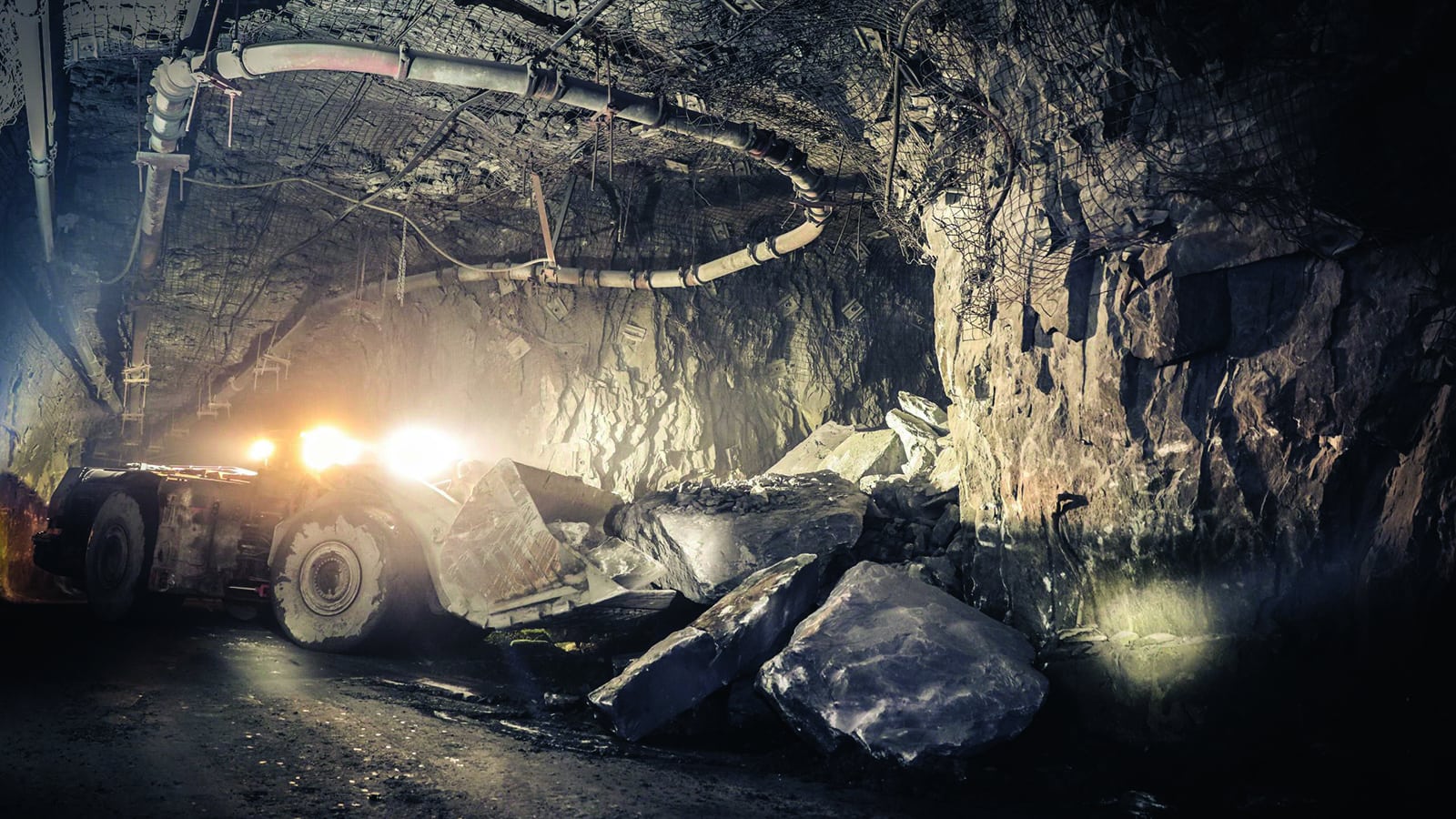
20+ Ways to Use Hovermap in Underground Mining
Underground mines see savings on equipment and consultancy services with Hovermap’s versatility providing multiple applications.

21 October 2020
Vertical Infrastructure
Vertical infrastructure, orepasses, shafts, and raises, can be difficult, dangerous, and costly to scan.

12 August 2020
Safe, Fast & Easy Mapping of Underground Hard Rock Mines
Mining and regional stresses make underground mines high-risk environments for personnel, equipment, and infrastructure.

