Emesent returns to Geo Connect Asia, showcasing autonomous, highly accurate and colorized LiDAR mapping for AEC and geospatial use cases
Emesent, a global leader in autonomous digital mapping, will appear at Geo Connect Asia, Booth H02, at the Sands Expo and Convention Centre Singapore, focussing on the versatility and accuracy of its mobile data capture and visualization solutions.
In addition to its award-winning SLAM-based Hovermap scanner, Emesent develops its own software and accessories, integrating with robotic and drone platforms DJI, Freefly, and Boston Dynamics, and partnering with software platforms including Cintoo and Pointerra3D to allow additional analysis of its highly detailed datasets.
“Geo Connect Asia and its sibling event – Digital Construction Asia – are great platforms for Emesent to showcase the broad application of our advanced LiDAR mapping technology for infrastructure, construction and public safety use cases,” said Emesent co-founder and Chief Strategy Officer Dr Stefan Hrabar.
“Across the region we are seeing a focus on fast, accurate and safe capture of 3D and visual data for a range of scenarios involving complex and challenging environments, especially digital twin projects, asset management, field forensics, heritage preservation, construction and topographic surveying, to name just a few.”
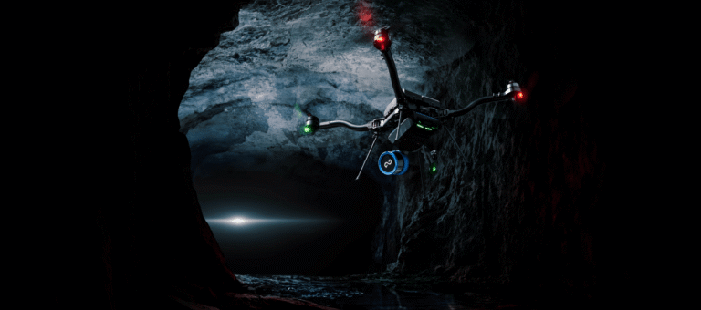
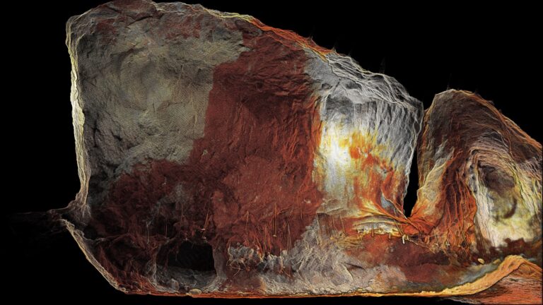
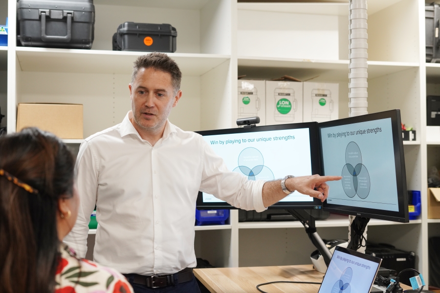
Offering multiple deployment options for its Hovermap scanner – which include drone, robot, vehicle, backpack and handheld operation – Emesent will demonstrate the quality of insights that can be derived from point cloud data accessed through its mapping mission app Commander and processing and visualization software Aura.
Recent improvements to Aura that will be on display include:
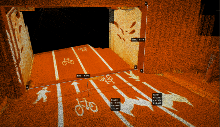
- RTK merge: The ability to merge a combination of scans – whether georeferenced or non-georeferenced – and generate a georeferenced output. This is especially useful for users of Emesent’s Vehicle RTK and Backpack RTK solutions to create merged RTK scans.
- Colorization support for large datasets – delivering faster data processing even on lower-spec computers.
- Dynamic, auto-adjusted settings for Emesent’s simultaneous localization and mapping (SLAM) technology, simplifying operation while also reducing slip and enhancing alignment for scans captured using SLAM.
- 360-degree images aligned to Hovermap point clouds can now be displayed within Aura, eliminating the need to use 3rd party tools to view, saving surveyors time and effort and simplifying workflows for site documentation, safety inspections, and project planning.
For the first time, representatives from Emesent’s client success team will be onsite to outline the onboarding and support arrangements for new Hovermap users.
“We’ve recently expanded our client success team and revamped our support and training programs to ensure all Hovermap users are making the most of their hardware and software investment,” said Dr Hrabar. “Geo Connect will be a great opportunity for prospective clients to come understand what it means to join the Hovermap user community.”
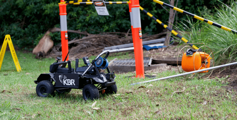
Emesent’s technology will also be referenced during a ‘tech-talk’ session presented by mission technology solutions provider KBR, featuring the integration of Emesent Hovermap into a remote-controlled narrow tunnel inspection solution for utilities and city councils.
Meanwhile, Emesent’s Taiwan partner Lin Trading will participate in an expert panel and present on autonomous mapping in construction, forestry and infrastructure applications.
Geo Connect Asia 2025 is held 9-10 April at the Sands Expo & Convention Centre, Singapore.
Additional details about Hovermap, Aura, Emesent’s RTK products, and AEC solutions are available on the Emesent website.
Related Resources