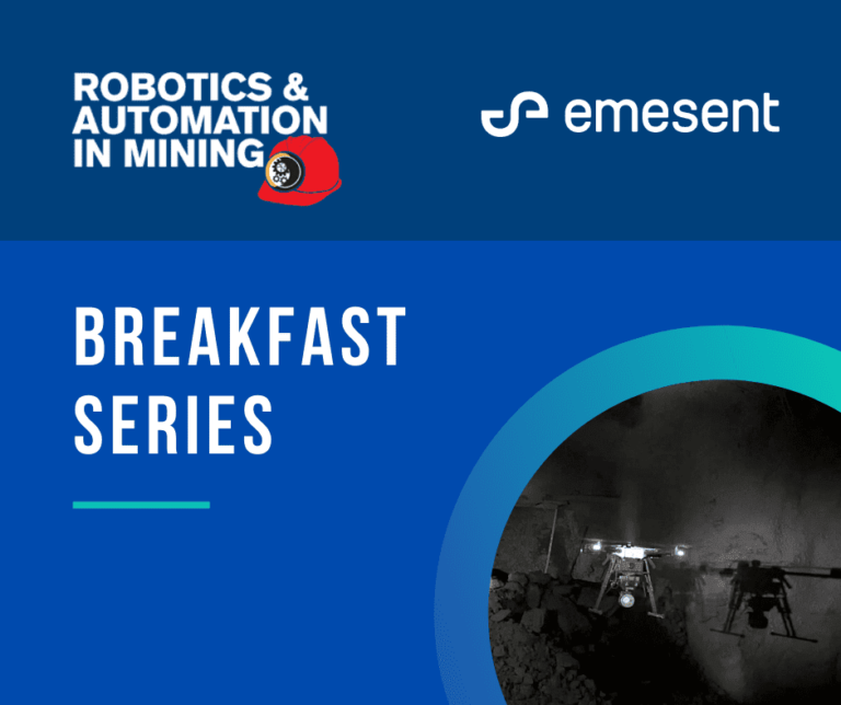
Skip to content
Emesent
  • ProductsExpand
    • Payloads
      • Hovermap
      Software
      • Aura
      • Commander
      • Cortex
      Accessories
      • 360° Image Kit
      • Backpack RTK
      • CMS Mount
      • Drone RTK
      • Hovermap LHD
      • Vehicle
 RTK
      Extensions
      • 360° Colorization
      • Automated Ground 
Control
      • Long Range Radio
      Robotics platforms
      • Boston Dynamics Spot robot
      • DJI M350 drone
      • Freefly Astro Max drone
      Ready to see how Emesent products work?​
      Get in touch
  • SolutionsExpand
    • Mining
      • Convergence Monitoring
      • Open Pit Mine Mapping
      • Stockpile Measurement
      • Stope Reconciliation
      • Underground Mine Production
      AEC
      • Construction As-built Survey
      • Infrastructure As-built Survey
      • Routine Bridge Inspection
      • Topographic Survey
      Industry use cases
      • AEC
      • Geospatial
      • Mining
      • Oil and Gas
      • Public Safety
      Third-party software workflows
      • For AEC
      • For Mining
      Ready to see how Emesent products work?​
      Get in touch
      Mining
      • Convergence Monitoring
      • Underground Mine Production
      AEC
      • Construction As-built Survey
      • Topographic Survey
      Industry use cases
      • AEC
      • Geospatial
      • Mining
      • Oil and Gas
      • Public Safety
      Ready to see how Emesent products work?​
      Get in touch
      Featured Case Study

      Leveraging 3D data for decision-making in public safety

      Read more
  • ResourcesExpand
      • ALL Resources
      • Blog
      • Case studies
      • Datasets
      • Events
      • News
      • Videos
      • Webinars
      • Customer portal
      • Knowledge base
      • Partner portal
      • Client experience
      Ready to see how Emesent products work?​
      Get in touch
      Featured Content

      Hovermap Accuracy Report

      Read more

  • AboutExpand
      • Our team
      • Careers
      • Contact
      Emesent’s strengths
      • Mapping
      • Autonomy
      • Versatility
      Ready to see how Emesent products work?​
      Get in touch
  • BuyExpand
      • Book a demo
      • Resellers
      • Business plans
      • Request Pricing
      Offers
      • Hovermap 100 offer
      • Autonomy discount
      Ready to see how Emesent products work?​
      Get in touch
Customer Portal
Partner Portal
Account
Book a Demo

Emesent
Customer Portal
Partner Portal

Building a more accurate BIM with Hovermap
Webinars

Building a more accurate BIM with Hovermap

BySaad Support May 17, 2021October 7, 2024

Hovermap customers talk about how they are able to reduce their time on site and capture high quality colorized point clouds for AEC bid jobs, facility management, floor plans, and other A&E projects.

Read More Building a more accurate BIM with HovermapContinue

Emesent and Datamine partnership
News

Emesent and Datamine partnership

BySaad Support May 10, 2021October 7, 2024

Emesent and Datamine have partnered to further assist mining companies to gain new insights from previously inaccessible areas, in a move that both CEO’s agree is a win-win for them and their customers.

Read More Emesent and Datamine partnershipContinue

Using Hovermap data in Maptek PointStudio
Webinars

Using Hovermap data in Maptek PointStudio

ByTim Greenfield April 18, 2021October 7, 2024

Capturing, processing and applying data from inaccessible areas is now easier than ever thanks to the partnership between Maptek PointStudio and Emesent Hovermap.

Read More Using Hovermap data in Maptek PointStudioContinue

How Barrick’s Kibali and Bulyanhulu gold mines use Hovermap for stope mapping
Webinars

How Barrick’s Kibali and Bulyanhulu gold mines use Hovermap for stope mapping

ByTim Greenfield April 18, 2021October 7, 2024

Emesent partners, Dwyka Mining Services and Unmanned Aerial Services demonstrated how to capture shadowless, uniform, high resolution data for geotechs, mine engineers and geology at Kibali by flying a 150m high stope.

Read More How Barrick’s Kibali and Bulyanhulu gold mines use Hovermap for stope mappingContinue

Emesent Hovermap™ Demo Day
News

Emesent Hovermap™ Demo Day

BySaad Support March 5, 2021October 7, 2024

Join us for our upcoming Hovermap Demo Day where you can put Hovermap to the test.

Read More Emesent Hovermap™ Demo DayContinue

XM2 Pursuit Quickly Capture Hovermap LiDAR data for Blockbuster Special Effects
News

XM2 Pursuit Quickly Capture Hovermap LiDAR data for Blockbuster Special Effects

BySaad Support March 1, 2021October 7, 2024

Creating the visual effects (VFX) for a blockbuster, monster destroying the world film can take a significant amount of time.

Read More XM2 Pursuit Quickly Capture Hovermap LiDAR data for Blockbuster Special EffectsContinue

How Dwyka Mining Services is using Hovermap to scan and manage open cast voids
Case Studies

How Dwyka Mining Services is using Hovermap to scan and manage open cast voids

BySaad Support February 19, 2021October 10, 2024

In November 2020, Emesent partner Dwyka Mining Services was contracted to assess the geometry and volume of a cavity that was exposed in a client’s open pit, following surface blasting.

Read More How Dwyka Mining Services is using Hovermap to scan and manage open cast voidsContinue

Improved stope design and reconciliation at Mungari Gold
Case Studies

Improved stope design and reconciliation at Mungari Gold

BySaad Support February 5, 2021November 6, 2024

How Emesent Hovermap technology helped Evolution Mining improve its stope design and reconciliation process at Mungari gold mine

Read More Improved stope design and reconciliation at Mungari GoldContinue

Processing Your Hovermap Data in Deswik
Blog

Processing Your Hovermap Data in Deswik

BySaad Support February 2, 2021October 3, 2024

In July 2020, we partnered with Deswik to help mining companies incorporate the high-quality data captured with Hovermap into their mine plans and surveys.

Read More Processing Your Hovermap Data in DeswikContinue

Emesent / Aerodyne Partnership Expanding Around the World
News

Emesent / Aerodyne Partnership Expanding Around the World

BySaad Support January 19, 2021October 15, 2024

Our worldwide distributor network continues to grow from strength to strength.

Read More Emesent / Aerodyne Partnership Expanding Around the WorldContinue

Page navigation

Previous PagePrevious 1 … 20 21 22 23 24 … 27 Next PageNext
Emesent delivers high quality data capture to provide revolutionary efficiency, safety, and operational insights.
About our products
  • Hovermap
  • Aura
  • Commander
  • Book a Demo
  • Request Pricing
  • Business Plans
About our technology
  • Mapping
  • Autonomy
  • Versatility
Info & Resources
  • News & client stories
  • Customer Portal
  • Where to buy
  • Partner Portal
  • Partner with us
About our business
  • Contact us
  • About Emesent
  • Careers
  • Privacy Policy
  • Quality Policy

Copyright © 2025 Emesent. All rights reserved.

  • Products
    • Payloads
      • Hovermap
      Software
      • Aura
      • Commander
      • Cortex
      Accessories
      • 360° Image Kit
      • Backpack RTK
      • CMS Mount
      • Drone RTK
      • Hovermap LHD
      • Vehicle
 RTK
      Extensions
      • 360° Colorization
      • Automated Ground 
Control
      • Long Range Radio
      Robotics platforms
      • Boston Dynamics Spot robot
      • DJI M350 drone
      • Freefly Astro Max drone
      Ready to see how Emesent products work?​
      Get in touch
  • Solutions
    • Mining
      • Convergence Monitoring
      • Open Pit Mine Mapping
      • Stockpile Measurement
      • Stope Reconciliation
      • Underground Mine Production
      AEC
      • Construction As-built Survey
      • Infrastructure As-built Survey
      • Routine Bridge Inspection
      • Topographic Survey
      Industry use cases
      • AEC
      • Geospatial
      • Mining
      • Oil and Gas
      • Public Safety
      Third-party software workflows
      • For AEC
      • For Mining
      Ready to see how Emesent products work?​
      Get in touch
      Mining
      • Convergence Monitoring
      • Underground Mine Production
      AEC
      • Construction As-built Survey
      • Topographic Survey
      Industry use cases
      • AEC
      • Geospatial
      • Mining
      • Oil and Gas
      • Public Safety
      Ready to see how Emesent products work?​
      Get in touch
      Featured Case Study

      Leveraging 3D data for decision-making in public safety

      Read more
  • Resources
      • ALL Resources
      • Blog
      • Case studies
      • Datasets
      • Events
      • News
      • Videos
      • Webinars
      • Customer portal
      • Knowledge base
      • Partner portal
      • Client experience
      Ready to see how Emesent products work?​
      Get in touch
      Featured Content

      Hovermap Accuracy Report

      Read more

  • About
      • Our team
      • Careers
      • Contact
      Emesent’s strengths
      • Mapping
      • Autonomy
      • Versatility
      Ready to see how Emesent products work?​
      Get in touch
  • Buy
      • Book a demo
      • Resellers
      • Business plans
      • Request Pricing
      Offers
      • Hovermap 100 offer
      • Autonomy discount
      Ready to see how Emesent products work?​
      Get in touch
  • Customer Portal
  • Partner Portal

  • Español
  • 日本語
  • 中文 (简体)

Book a Demo
Search