Skip to content
Emesent
  • ProductsExpand
    • Payloads
      • Hovermap
      Software
      • Aura
      • Commander
      • Cortex
      Accessories
      • 360° Image Kit
      • Backpack RTK
      • CMS Mount
      • Drone RTK
      • Hovermap LHD
      • Vehicle
 RTK
      Extensions
      • 360° Colorization
      • Automated Ground 
Control
      • Long Range Radio
      Robotics platforms
      • Boston Dynamics Spot robot
      • DJI M350 drone
      • Freefly Astro Max drone
      Ready to see how Emesent products work?​
      Get in touch
  • SolutionsExpand
    • Mining
      • Convergence Monitoring
      • Open Pit Mine Mapping
      • Stockpile Measurement
      • Stope Reconciliation
      • Underground Mine Production
      AEC
      • Construction As-built Survey
      • Infrastructure As-built Survey
      • Routine Bridge Inspection
      • Topographic Survey
      Industry use cases
      • AEC
      • Geospatial
      • Mining
      • Oil and Gas
      • Public Safety
      Third-party software workflows
      • For AEC
      • For Mining
      Ready to see how Emesent products work?​
      Get in touch
      Mining
      • Convergence Monitoring
      • Underground Mine Production
      AEC
      • Construction As-built Survey
      • Topographic Survey
      Industry use cases
      • AEC
      • Geospatial
      • Mining
      • Oil and Gas
      • Public Safety
      Ready to see how Emesent products work?​
      Get in touch
      Featured Case Study

      Leveraging 3D data for decision-making in public safety

      Read more
  • ResourcesExpand
      • ALL Resources
      • Blog
      • Case studies
      • Datasets
      • Events
      • News
      • Videos
      • Webinars
      • Customer portal
      • Knowledge base
      • Partner portal
      • Client experience
      Ready to see how Emesent products work?​
      Get in touch
      Featured Content

      Hovermap Accuracy Report

      Read more

  • AboutExpand
      • Our team
      • Careers
      • Contact
      Emesent’s strengths
      • Mapping
      • Autonomy
      • Versatility
      Ready to see how Emesent products work?​
      Get in touch
  • BuyExpand
      • Book a demo
      • Resellers
      • Business plans
      • Request Pricing
      Offers
      • Hovermap 100 offer
      • Autonomy discount
      Ready to see how Emesent products work?​
      Get in touch
Customer Portal
Partner Portal
Account
Book a Demo

Emesent
Customer Portal
Partner Portal

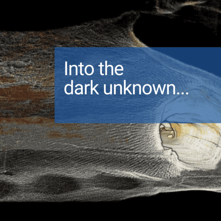
Hovermap Redwood Tree scan
Videos

Hovermap Redwood Tree scan

ByKatie Koss November 19, 2020October 10, 2024

Read More Hovermap Redwood Tree scanContinue

Interpine are speeding up forest imagery plotting with Hovermap
News

Interpine are speeding up forest imagery plotting with Hovermap

BySaad Support November 18, 2020October 7, 2024

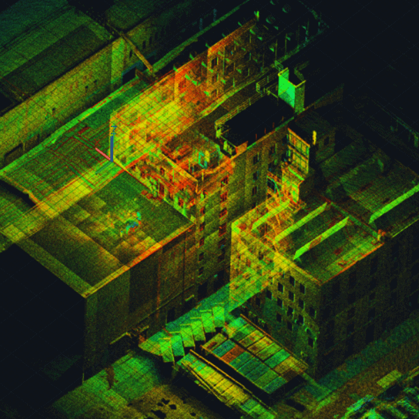
Hovermap datasets combine with Interpine’s customized deep learning algorithms for fast and accurate quantitative tree assessment.

Read More Interpine are speeding up forest imagery plotting with HovermapContinue

LKAB Kiruna Seismic Event Inspections
Case Studies

LKAB Kiruna Seismic Event Inspections

BySaad Support October 30, 2020February 6, 2025

Emesent Hovermap technology helps LKAB complete fall of ground inspections quickly and safely at Kiruna mine.

Read More LKAB Kiruna Seismic Event InspectionsContinue

Pertamina Balongan Refinery Data Capture
Case Studies

Pertamina Balongan Refinery Data Capture

BySaad Support October 30, 2020October 10, 2024

Emesent Hovermap technology helps Pertamina safely survey a bulk oil storage tank at the Balongan refinery.

Read More Pertamina Balongan Refinery Data CaptureContinue

Stope Mapping with Hovermap
Blog

Stope Mapping with Hovermap

BySaad Support October 29, 2020October 15, 2024

Hovermap enables data capture of critical underground mine excavations, delivering new insights for mine planning and operations.

Read More Stope Mapping with HovermapContinue

Emesent two years on: From start-up to global business
News

Emesent two years on: From start-up to global business

BySaad Support October 26, 2020October 7, 2024

Beginning life as a CSIRO project, Emesent has now grown into a fully-fledged commercial enterprise that turned two this week!

Read More Emesent two years on: From start-up to global businessContinue

Vertical Infrastructure
Case Studies

Vertical Infrastructure

BySaad Support October 21, 2020October 10, 2024

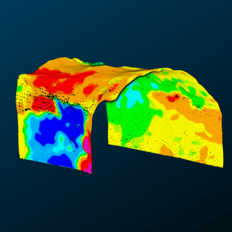
Vertical infrastructure, orepasses, shafts, and raises, can be difficult, dangerous, and costly to scan.

Read More Vertical InfrastructureContinue

How Emesent is pioneering autonomous drone flight operated from half a world away
News

How Emesent is pioneering autonomous drone flight operated from half a world away

BySaad Support October 14, 2020October 7, 2024

Australian data analytics and drone autonomy start-up Emesent is writing its way into the record books with a series of remotely operated autonomous drone flights which promise to drive revolutionary change in the heavy industry space.

Read More How Emesent is pioneering autonomous drone flight operated from half a world awayContinue

Emesent cements position in the mine planning eco-system with Maptek partnership
News

Emesent cements position in the mine planning eco-system with Maptek partnership

BySaad Support October 12, 2020October 7, 2024

A new alliance with Maptek, a global developer of mining hardware and software, will boost Emesent’s ability to deliver unprecedented insights to the resources sector.

Read More Emesent cements position in the mine planning eco-system with Maptek partnershipContinue

Georeferencing Hovermap Point Clouds using ‘Best Fit’ Sphere Registration in CloudCompare
Case Studies

Georeferencing Hovermap Point Clouds using ‘Best Fit’ Sphere Registration in CloudCompare

BySaad Support October 9, 2020October 10, 2024

Accuracy Evaluation: Georeferencing Hovermap Point Clouds using ‘Best Fit’ Sphere Registration in CloudCompare

Read More Georeferencing Hovermap Point Clouds using ‘Best Fit’ Sphere Registration in CloudCompareContinue

Page navigation

Previous PagePrevious 1 … 22 23 24 25 26 27 Next PageNext
Emesent delivers high quality data capture to provide revolutionary efficiency, safety, and operational insights.
About our products
  • Hovermap
  • Aura
  • Commander
  • Book a Demo
  • Request Pricing
  • Business Plans
About our technology
  • Mapping
  • Autonomy
  • Versatility
Info & Resources
  • News & client stories
  • Customer Portal
  • Where to buy
  • Partner Portal
  • Partner with us
About our business
  • Contact us
  • About Emesent
  • Careers
  • Privacy Policy
  • Quality Policy

Copyright © 2025 Emesent. All rights reserved.

  • Products
    • Payloads
      • Hovermap
      Software
      • Aura
      • Commander
      • Cortex
      Accessories
      • 360° Image Kit
      • Backpack RTK
      • CMS Mount
      • Drone RTK
      • Hovermap LHD
      • Vehicle
 RTK
      Extensions
      • 360° Colorization
      • Automated Ground 
Control
      • Long Range Radio
      Robotics platforms
      • Boston Dynamics Spot robot
      • DJI M350 drone
      • Freefly Astro Max drone
      Ready to see how Emesent products work?​
      Get in touch
  • Solutions
    • Mining
      • Convergence Monitoring
      • Open Pit Mine Mapping
      • Stockpile Measurement
      • Stope Reconciliation
      • Underground Mine Production
      AEC
      • Construction As-built Survey
      • Infrastructure As-built Survey
      • Routine Bridge Inspection
      • Topographic Survey
      Industry use cases
      • AEC
      • Geospatial
      • Mining
      • Oil and Gas
      • Public Safety
      Third-party software workflows
      • For AEC
      • For Mining
      Ready to see how Emesent products work?​
      Get in touch
      Mining
      • Convergence Monitoring
      • Underground Mine Production
      AEC
      • Construction As-built Survey
      • Topographic Survey
      Industry use cases
      • AEC
      • Geospatial
      • Mining
      • Oil and Gas
      • Public Safety
      Ready to see how Emesent products work?​
      Get in touch
      Featured Case Study

      Leveraging 3D data for decision-making in public safety

      Read more
  • Resources
      • ALL Resources
      • Blog
      • Case studies
      • Datasets
      • Events
      • News
      • Videos
      • Webinars
      • Customer portal
      • Knowledge base
      • Partner portal
      • Client experience
      Ready to see how Emesent products work?​
      Get in touch
      Featured Content

      Hovermap Accuracy Report

      Read more

  • About
      • Our team
      • Careers
      • Contact
      Emesent’s strengths
      • Mapping
      • Autonomy
      • Versatility
      Ready to see how Emesent products work?​
      Get in touch
  • Buy
      • Book a demo
      • Resellers
      • Business plans
      • Request Pricing
      Offers
      • Hovermap 100 offer
      • Autonomy discount
      Ready to see how Emesent products work?​
      Get in touch
  • Customer Portal
  • Partner Portal

  • Español
  • 日本語
  • 中文 (简体)

Book a Demo
Search