Improved stope design and reconciliation at Mungari Gold
How Emesent Hovermap technology helped Evolution Mining improve its stope design and reconciliation process at Mungari gold mine
How Emesent Hovermap technology helped Evolution Mining improve its stope design and reconciliation process at Mungari gold mine

In July 2020, we partnered with Deswik to help mining companies incorporate the high-quality data captured with Hovermap into their mine plans and surveys.
Our worldwide distributor network continues to grow from strength to strength.

Emesent are excited to announce a new partnership with the Australian Institute of Mining and Metallurgy (AusIMM). AusIMM is the peak body, leading the way for people in resources, providing consistent support and advocacy for professionals.
Petra Diamonds save millions in remediation costs at its Finsch Mine.
Hear how BHP is improving the efficiency of their Olympic Dam mine. Evan Jones, Principal Geotechnical Engineer, talks us through how the geotechnical team utilizes Hovermap’s LiDAR data to improve stope design.
Swedish mining giant LKAB suffered a significant seismic event at their Kiruna iron ore mine.
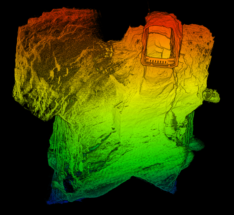
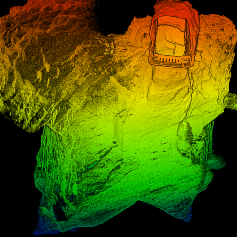
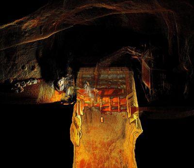
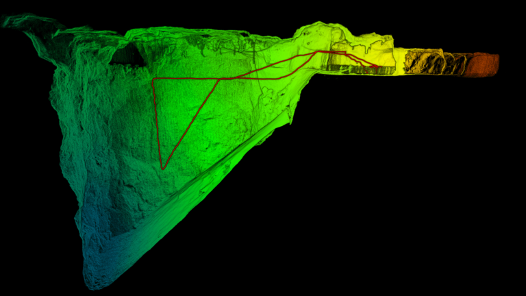
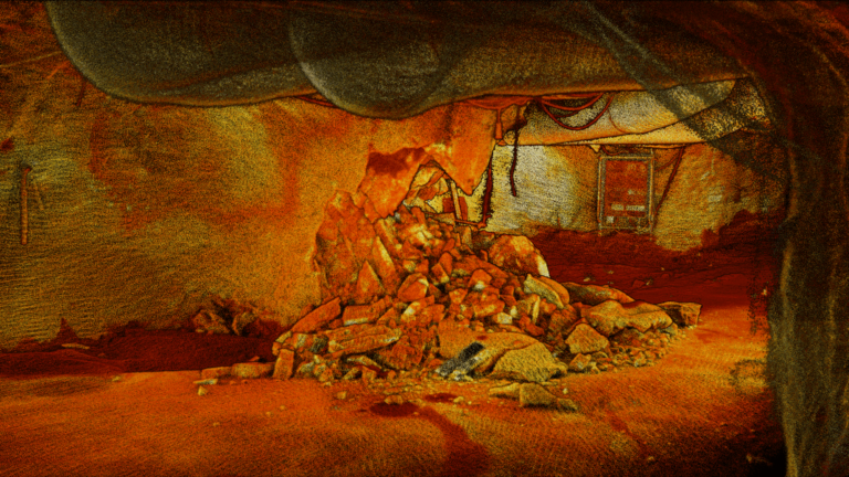
Hear how Mungari Gold operation replaced its CMS with Hovermap, and capture rich stope data sets that help improve stope design and reconciliation.
Hear from Unmanned Aerial Services Inc, experts in scans and inspection in underground mining operations.

Even though the Royal Australian Navy is over a century old they are pushing boundaries, constantly looking for better and innovative ways to keep Australians safe.