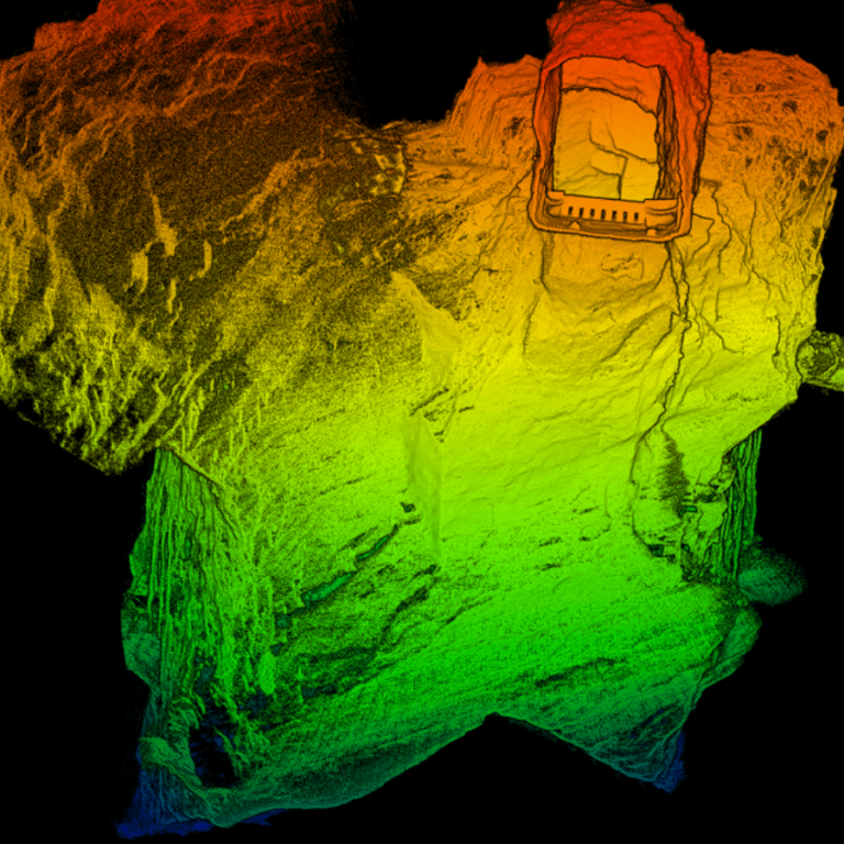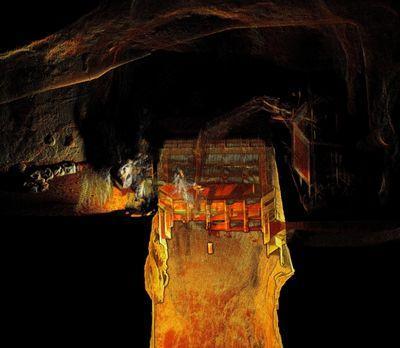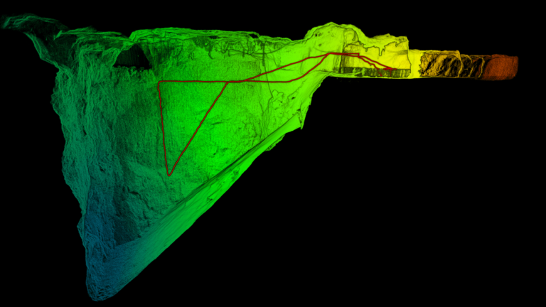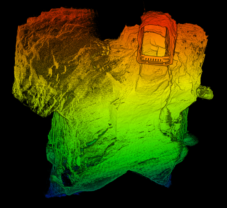
How Dwyka Mining Services is using Hovermap to scan and manage open cast voids
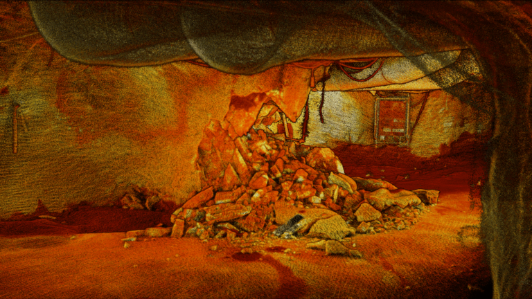
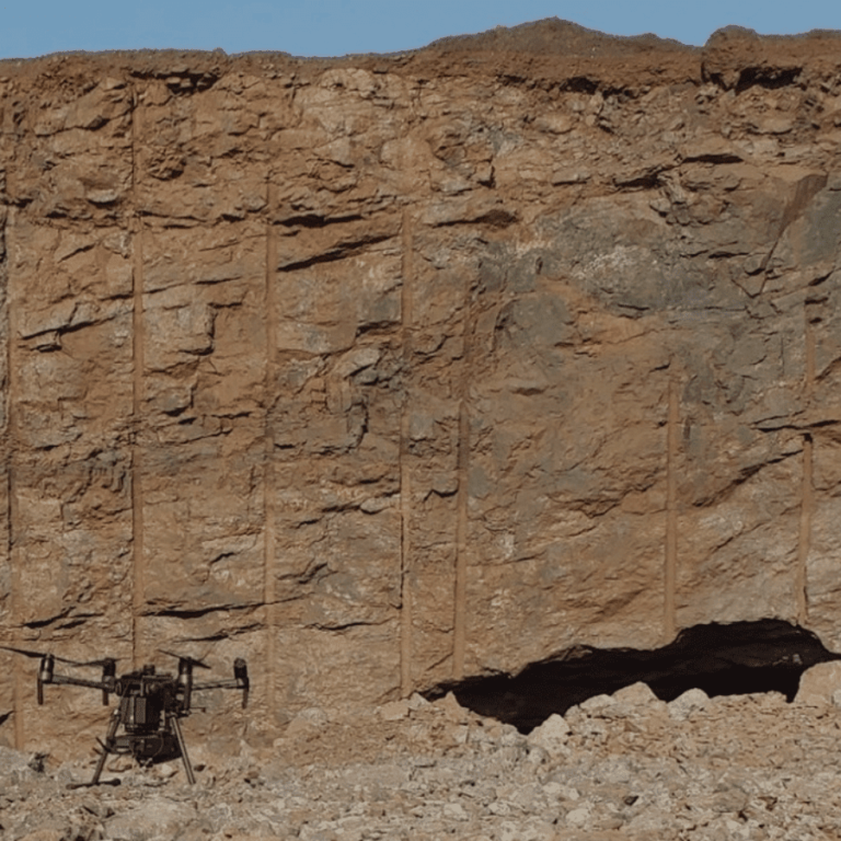
In November 2020, Emesent partner Dwyka Mining Services was contracted to assess the geometry and volume of a cavity that was exposed in a client’s open pit, following surface blasting.