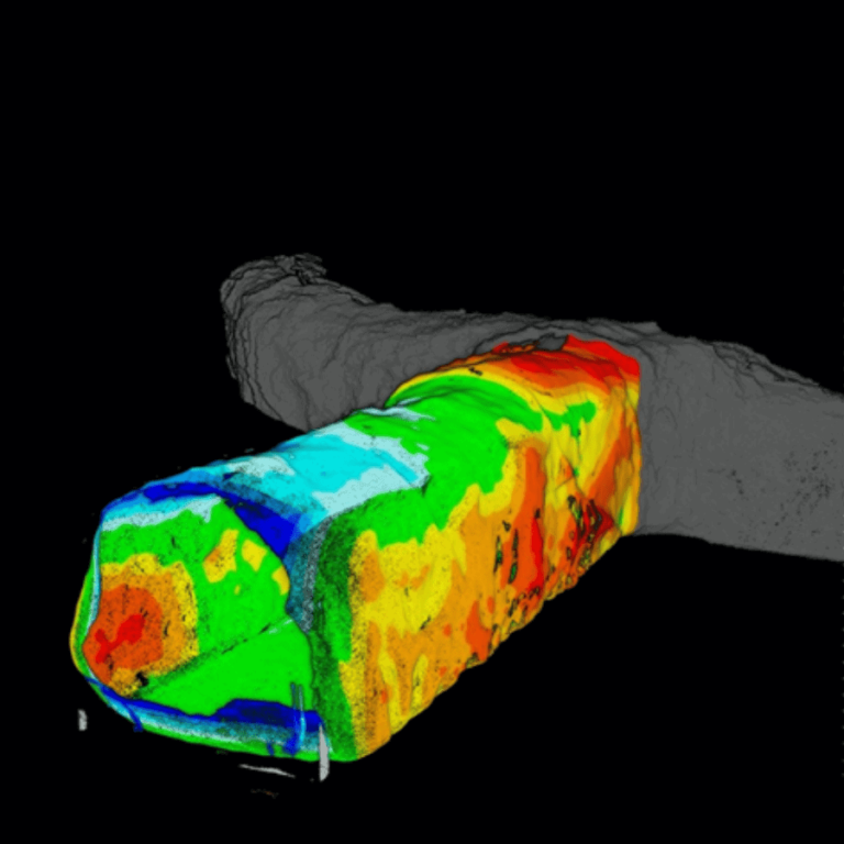
Vertical Infrastructure
Vertical infrastructure, orepasses, shafts, and raises, can be difficult, dangerous, and costly to scan.
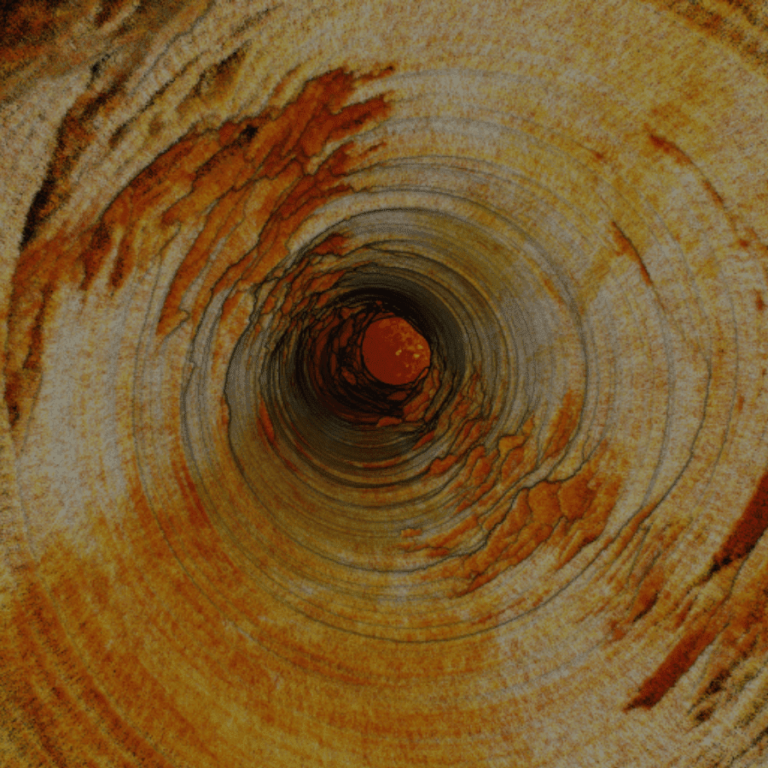
Vertical infrastructure, orepasses, shafts, and raises, can be difficult, dangerous, and costly to scan.
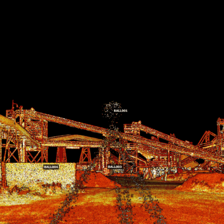
Accuracy Evaluation: Georeferencing Hovermap Point Clouds using ‘Best Fit’ Sphere Registration in CloudCompare
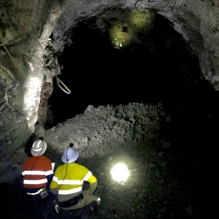
Mining and regional stresses make underground mines high-risk environments for personnel, equipment, and infrastructure.
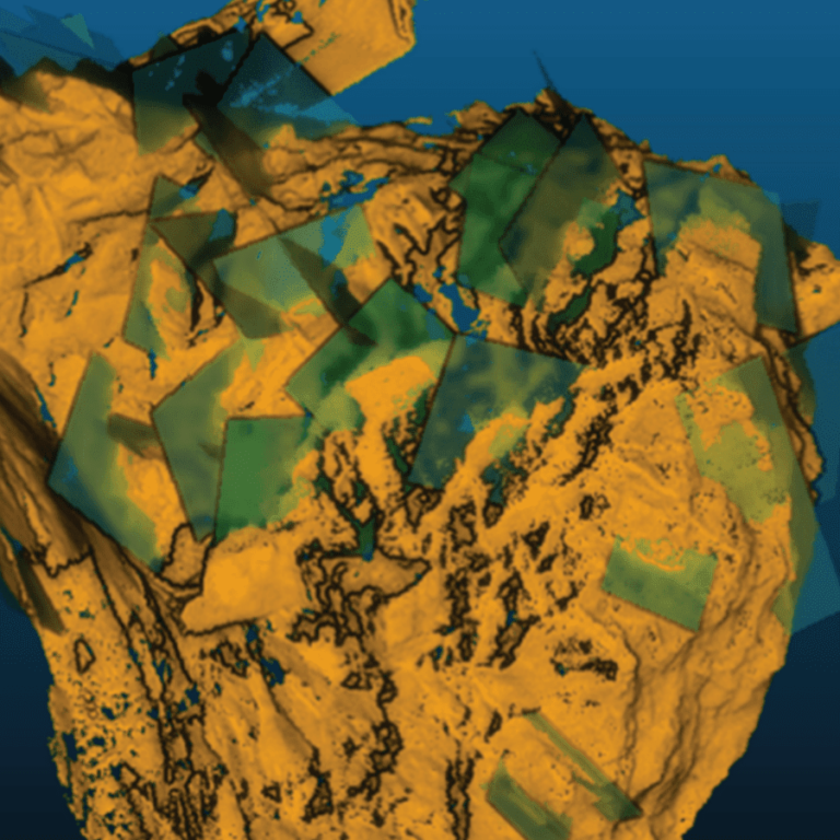
Discover 20+ of Hovermap’s many data capture applications across a wide range of industries.
This paper discusses the process of acquiring and preparing drone-based LiDAR data for geomechanics and explores the spatial and structural relationship between drone data and window mapping for implementation into Olympic Dam’s future stope designs.
This paper details the background to how mobile mapping technology has been introduced into underground mining geomechanics.
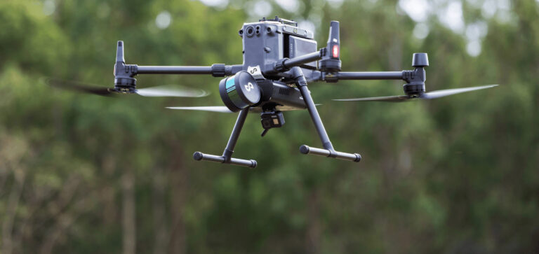
Lightweight, easy to use and deploy, the versatile Emesent Hovermap mobile LiDAR scanner is changing the way that people think about the collection of high-resolution 3D data.