Solving the challenge of accurate projections: a guide for surveyors and cartographers
A surveyor’s and cartographer’s guide to ensuring consistent and accurate projections with Emesent Aura’s new reprojection workflow.
A surveyor’s and cartographer’s guide to ensuring consistent and accurate projections with Emesent Aura’s new reprojection workflow.

Verified by independent surveyor Orion Spatial Solutions, this September 2024 report tests the georeferencing accuracy of Emesent’s Backpack RTK solution.

Emesent’s Henry Henderson-Genefaas traveled to the remote Faroe Islands in the North Atlantic, in a bid to uncover the largest sea cave in the world using Hovermap.

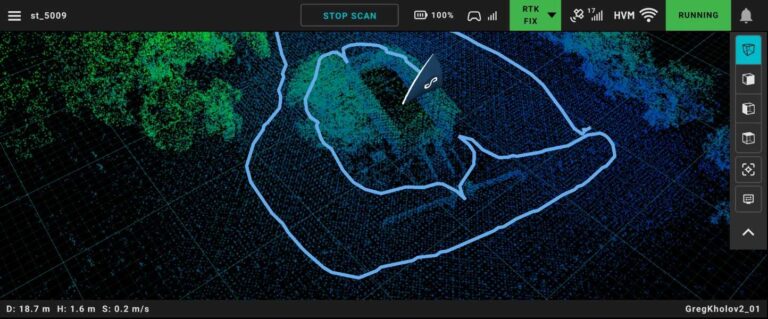
This scan of a rural church in Australia took just 8 minutes to capture and is a great example of Backpack RTK and 360-degree colorization in action.

Recognizing the potential for enhanced safety, productivity, and cost savings, leading specialized underground mining contractor Byrnecut Global partnered with Emesent to implement an optimized bogging workflow using Hovermap LHD.

Join Lin Trading and discover how Hovermap’s cutting-edge LiDAR technology accelerates the production of CAD drawings and BIM models, making traditional surveying work faster and more accurate.

Join Scott Harrigan from Harkin Aerial as he discusses “The Reality Capture Kit”— a comprehensive set of tools and software for efficient and cost-effective reality capture.
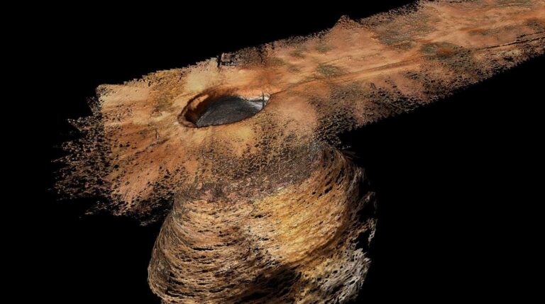
When a 5m diameter hole appeared at the surface of the Carrapateena copper reserve in 2023 (and continued to grow over the next few months), regular scanning became critical in order to ensure both the safety of mine personnel and the stability of its operations. Read how Emesent’s Hovermap autonomously and safely captured critical data for the site.

Hovermap LiDAR point clouds and panoramic images can be easily viewed and shared in high quality across multiple locations through Cintoo’s platform, enhancing communication and interpretation of 3D scan data Emesent, maker of the award-winning Hovermap LiDAR mapping and autonomy solution, has partnered with Cintoo, the leading cloud platform provider for collecting, collaborating, sharing, and managing…

Backpack RTK expands Emesent’s versatile range of RTK GPS enabled Hovermap solutions to allow accurate data capture in even more environments Emesent, a global leader in autonomous digital mapping, has released its Backpack RTK mapping solution on the eve of the INTERGEO 2024 Expo and Conference. This expands the range of real-time kinematics (RTK) GPS-enabled deployment options for…