Hovermap compatibility expanded to European-made Zoe drone
We’re proud to announce that Hovermap, our autonomy, and mapping payload, is now plug-and-play compatible with the Zoe aircraft from Acecore Technologies, made in the Netherlands.
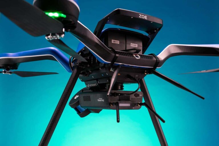
We’re proud to announce that Hovermap, our autonomy, and mapping payload, is now plug-and-play compatible with the Zoe aircraft from Acecore Technologies, made in the Netherlands.
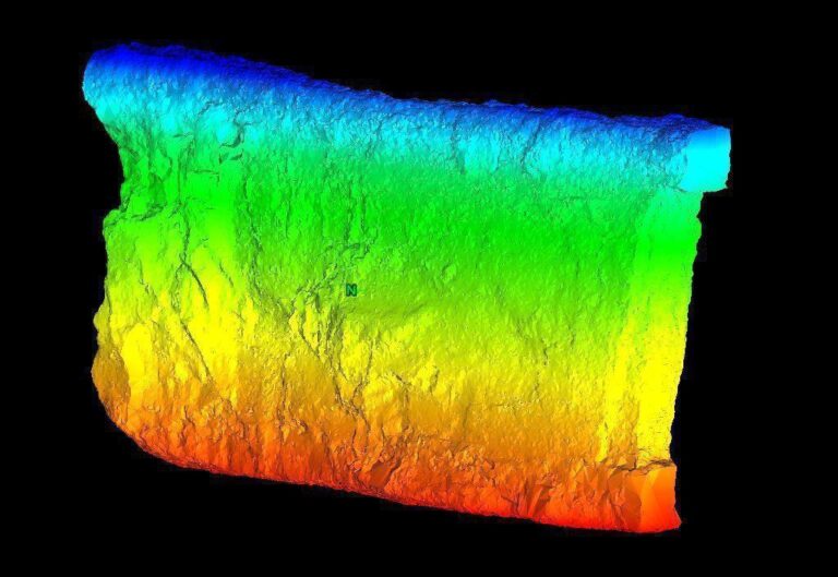
Hovermap was recently introduced into Barrick’s Bulyanhulu narrow-vein gold mine for stope mapping by Emesent partner, Dwyka Mining Services, headquartered in Johannesburg, South Africa.
Joseph Bellantoni has been working in construction documentation for over twenty years.

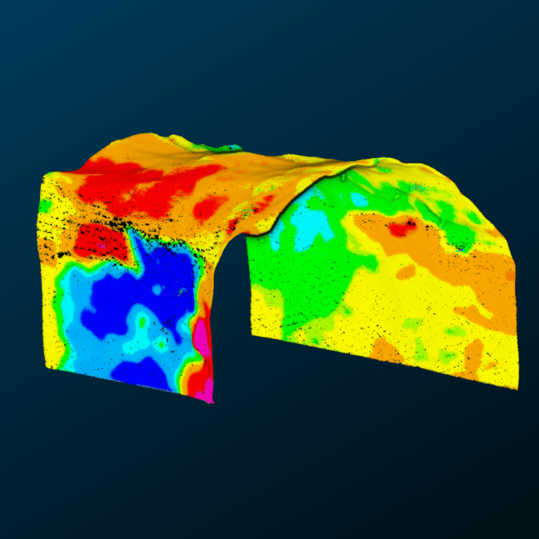
As we all try to reduce our lasting impact on the planet, it is becoming more common for municipal Sanitation Departments and private solid waste facilities in New York state to process yard wastes for reuse as mulch, keeping this material from landfill.

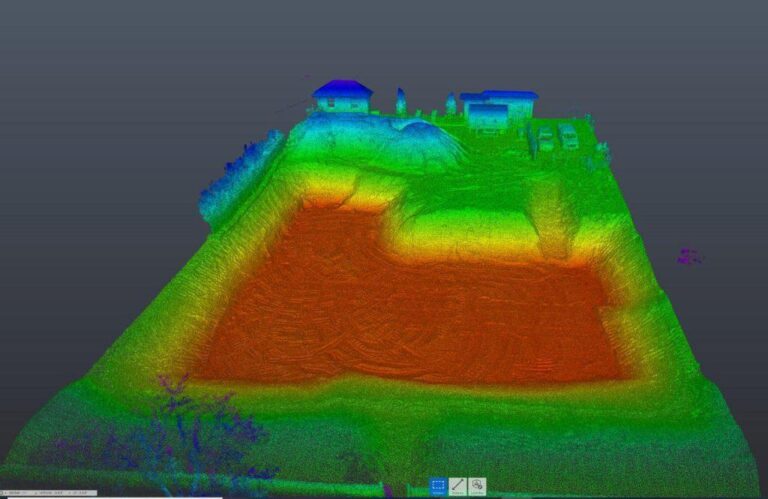
Hovermap provides Grass Valley Center for the Arts great insights after a new renovation and valuable data for future renovations.

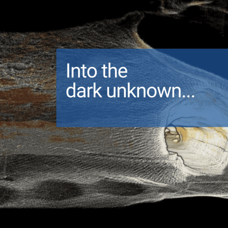
Underground mines see savings on equipment and consultancy services with Hovermap’s versatility providing multiple applications.
NASA recently took one more giant leap for mankind after its Mars Helicopter, Ingenuity, made the first-ever test flight on another world.
Rio Tinto engaged MineLiDAR to trial Hovermap for convergence monitoring at its Argyle Diamond Mine, in Western Australia. Read the case study to learn how LiDAR performed.

Qntfi Inc is a New York state based organization that is dedicated to helping companies extract meaningful information from raw data to enable them to make the right decisions.
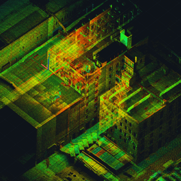
Hear from three data capture experts how they have improved their workflows for their construction and infrastructure projects.