Vertical Infrastructure
Vertical infrastructure, orepasses, shafts, and raises, can be difficult, dangerous, and costly to scan.
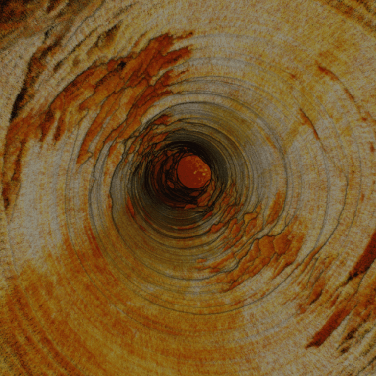
Vertical infrastructure, orepasses, shafts, and raises, can be difficult, dangerous, and costly to scan.
Australian data analytics and drone autonomy start-up Emesent is writing its way into the record books with a series of remotely operated autonomous drone flights which promise to drive revolutionary change in the heavy industry space.
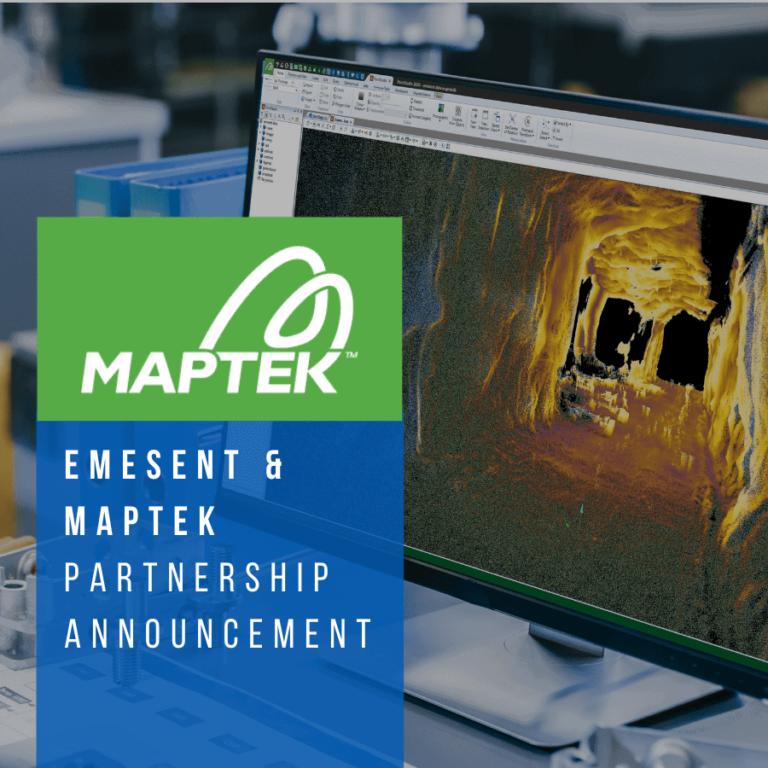
A new alliance with Maptek, a global developer of mining hardware and software, will boost Emesent’s ability to deliver unprecedented insights to the resources sector.
Accuracy Evaluation: Georeferencing Hovermap Point Clouds using ‘Best Fit’ Sphere Registration in CloudCompare

Emesent’s Hovermap has been awarded second prize in the XCELLENCE in Innovation category of the AUVSI XCELLENCE Awards.
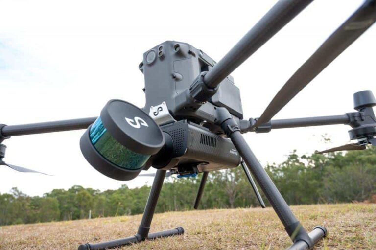
Emesent’s award winning Hovermap is a drone autonomy and LiDAR mapping payload that uses LiDAR data and advanced algorithms to generate accurate 3D point clouds of the scanned environment, as well as automate the drone flight even when GPS is not available.
Participants must tackle time critical scenarios in a series of unknown courses, in unpredictable conditions, using a collection of robots and sensors for which they are required to supply software and algorithms.
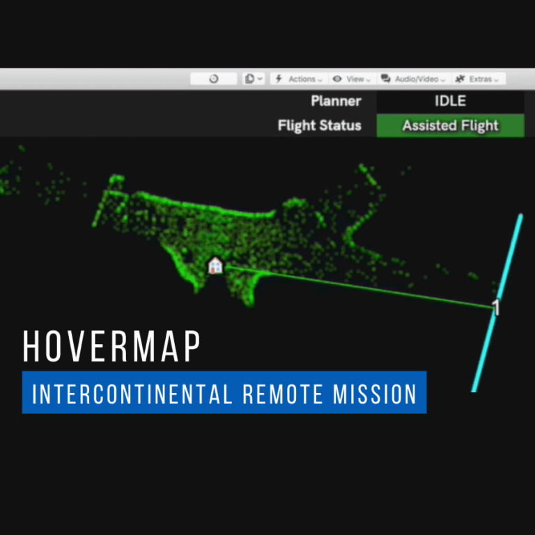
New investment will build on Emesent’s success with major mining customers such as BHP and Glencore, expanding the use case for autonomous drone technology in defence

Emesent has been announced as a finalist for the Greyhound Innovation (METS) Award in 2020’s Queensland Mining Awards.

Emesent has allowed DJI’s M300 drone to fly autonomously underground in what’s believed to be a world first for the platform.