Emesent improves the coverage, frequency, and reliability of convergence monitoring programs with release of new mining solution
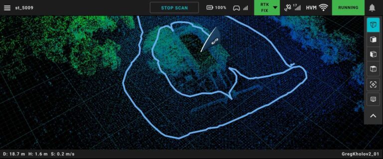
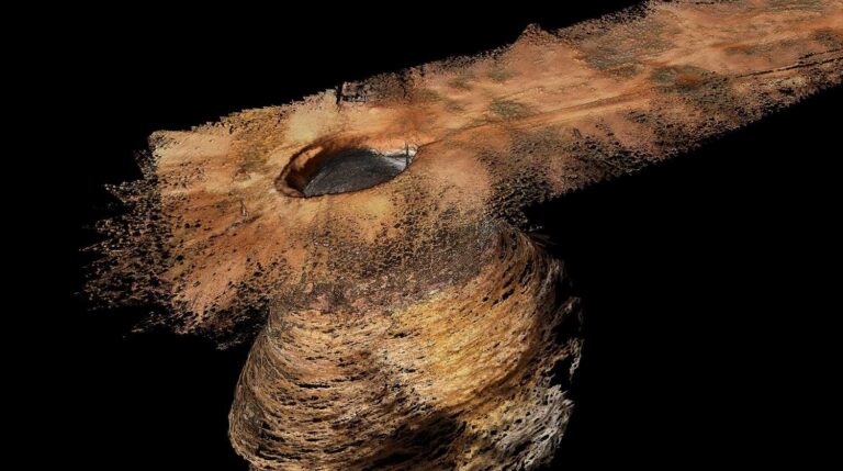
Solution for change detection and convergence monitoring enhances operational safety and mitigates production delays Emesent, a global leader in autonomous digital mapping, has launched a new solution for identifying and monitoring underground mining displacement and rock movement. “It can be extremely difficult to predict where deformation in an underground mine is likely to occur, so…

Old Steel Mill in Pennsylvania
Download this scan of a former steel mill in Pittsburgh, Pennsylvania. Captured with Hovermap ST-X and processed with Aura 1.5

Sports field – M350 Drone RTK
Download this sample M350 Drone RTK Hovermap ST-X dataset of a sports field in Australia.

M300/M350 RTK: Improved SLAM accuracy & georeferencing
Explore the improved SLAM accuracy and georeferencing of M300/M350 RTK in this March 2024 whitepaper.

Global georeferencing accuracy with Vehicle RTK
Verified by independent surveyor Orion Spatial Solutions, this June 2024 report tests the georeferencing accuracy of Emesent’s Vehicle RTK solution.

Surveying Roads and Railways with Hovermap
Explore the use of SLAM technology in surveying AEC and other outdoor use cases in this webinar.

What I learned from scanning Alcatraz – Part 2
In Part 2 of our two-part series, Dr. Jeremy Sofonia dives into the data capture process and shares his learnings from the Alcatraz mapping project.

How to optimize your geotechnical monitoring program
In this whitepaper, discover how to focus your change detection and convergence monitoring efforts to truly optimize your geotechnical monitoring program.

What I learned from scanning Alcatraz – Part 1
In Part 1 of our two-part series, Dr. Jeremy Sofonia discusses key tips and tricks when undertaking a large mapping project – starting with the planning.