Into the dark unknown: How Hovermap is helping drive NASA’s future planetary ambitions
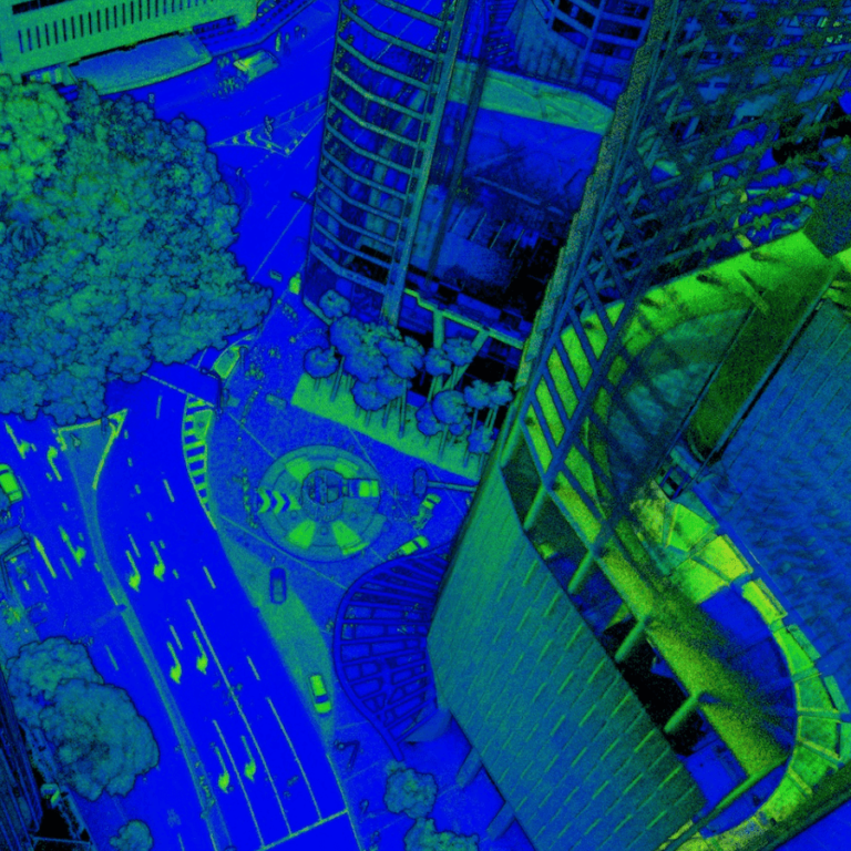
NASA recently took one more giant leap for mankind after its Mars Helicopter, Ingenuity, made the first-ever test flight on another world.
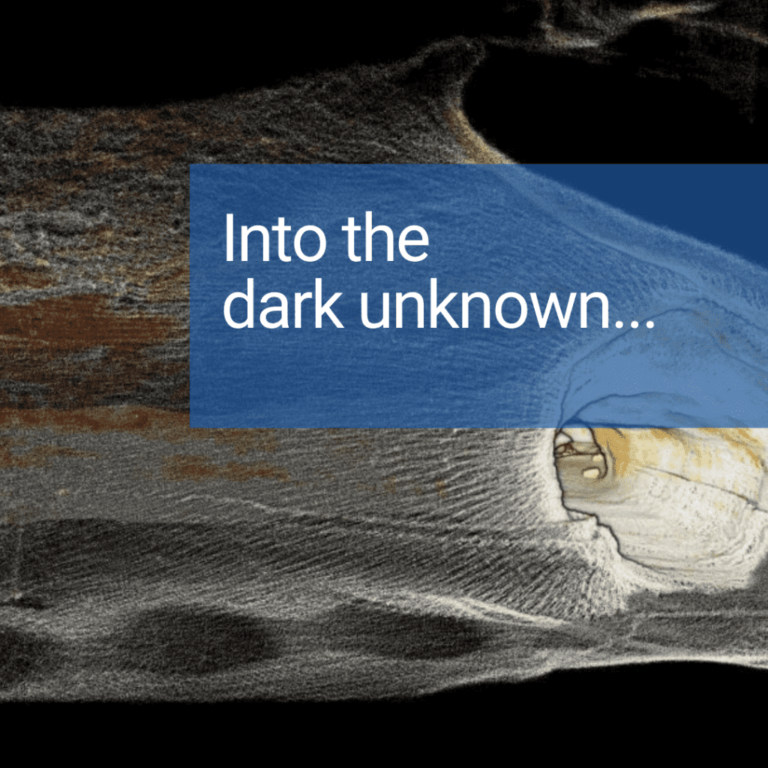
NASA recently took one more giant leap for mankind after its Mars Helicopter, Ingenuity, made the first-ever test flight on another world.
Rio Tinto engaged MineLiDAR to trial Hovermap for convergence monitoring at its Argyle Diamond Mine, in Western Australia. Read the case study to learn how LiDAR performed.

Qntfi Inc is a New York state based organization that is dedicated to helping companies extract meaningful information from raw data to enable them to make the right decisions.
Hear from three data capture experts how they have improved their workflows for their construction and infrastructure projects.
Hovermap customers talk about how they are able to reduce their time on site and capture high quality colorized point clouds for AEC bid jobs, facility management, floor plans, and other A&E projects.
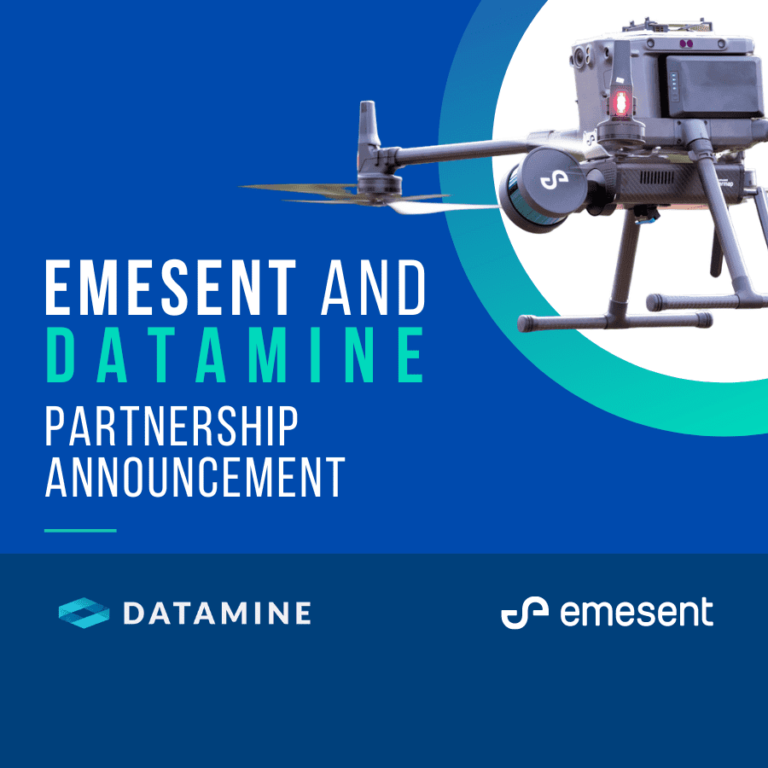
Emesent and Datamine have partnered to further assist mining companies to gain new insights from previously inaccessible areas, in a move that both CEO’s agree is a win-win for them and their customers.
Capturing, processing and applying data from inaccessible areas is now easier than ever thanks to the partnership between Maptek PointStudio and Emesent Hovermap.
Emesent partners, Dwyka Mining Services and Unmanned Aerial Services demonstrated how to capture shadowless, uniform, high resolution data for geotechs, mine engineers and geology at Kibali by flying a 150m high stope.
Join us for our upcoming Hovermap Demo Day where you can put Hovermap to the test.
Creating the visual effects (VFX) for a blockbuster, monster destroying the world film can take a significant amount of time.