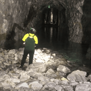
Safely exploring 148 year old tunnels with LiDAR mapping
Using LiDAR mapping, Wingfield Scale and Measure have explored and captured inside train tunnels abandoned over 60 years ago to help prepare them for a new role. In 1956 the last steam locomotive passed through the Wray and Sidling Tunnels in Rockhill Furnace, part of the 32-mile (51.5 km) coal rail line. Over 60 years…