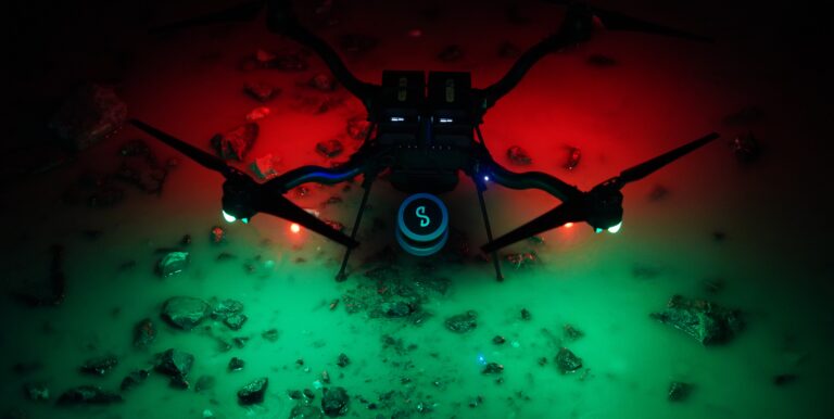
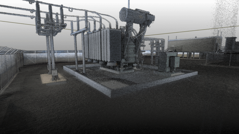
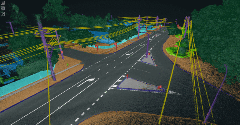
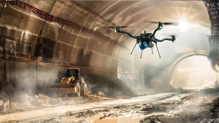
Resource Center Filter by Use CaseResource TypeIndustry Webinars Integrating the Emesent Hovermap LiDAR System with Micromine Webinars Beyond the Grid: Expanding LiDAR Capabilities within the Power Industry Webinars Beyond the Scan: Realizing the Full Potential of Point Clouds using AI and Cloud Interactions Webinars Maximizing Mining Efficiency: Emesent Hovermap LiDAR Success Stories in Open-Pit and Underground Mining Webinars Hovermap ST-X: Use Cases and Workflow for Road Surveys and Marine Applications Webinars Unlocking the Future of Stope Operations Webinars Unlock the Power of Precision Mapping: Emesent Hovermap Backpack RTK Webinars Advancing 3D SLAM LiDAR Mapping: Adoption of Emesent Hovermap at Dwarsrivier Chrome Mine Webinars Monitoring convergence in an underground gold mine Webinars Hovermap accuracy deep-dive Webinars Accelerate Traditional Surveying and Mapping with Emesent Hovermap Webinars The Reality Capture Kit Webinars Unlocking Efficiency in 3D Mapping Webinars Hovermap – Beyond just drone-based scanning Webinars Surveying Roads and Railways with Hovermap Webinars Best Practices for Utilizing Hovermap ST: Applications, Methodology, and Outcomes Webinars An Indian tunnel collapse case study Webinars Revolutionizing Construction Efficiency – The Impact of Rapid Indoor Mapping on Project Time and Cost Savings Webinars Commander App & Firmware 3.0 Webinars The Role of Autonomous Robots in Post-Blast Mining Webinars Powerful Decision Support with Data-driven Insights for Defense & First Responders Webinars How LiDAR Can Help Your Mining Operation Webinars Fly, Drive, and Walk- to Collect Survey Grade Data Webinars Geo Week Insights That will Move the Built World Forward Webinars Mapping a Sinkhole and Hazardous Coastal Areas Safely Webinars Expand Your Data Capture Reach Webinars Better Coverage and Efficiency for Industrial Plants and Infrastructure Data Capture Webinars Hovermap For Forestry Webinars Achieving Greater Data Collection Levels, Faster, for Longhole Stoping Webinars Fast and Accurate Topographical Surveys Keep up with all the latest at Emesent SUBSCRIBE NOW
Webinars Beyond the Scan: Realizing the Full Potential of Point Clouds using AI and Cloud Interactions
Webinars Maximizing Mining Efficiency: Emesent Hovermap LiDAR Success Stories in Open-Pit and Underground Mining
Webinars Revolutionizing Construction Efficiency – The Impact of Rapid Indoor Mapping on Project Time and Cost Savings